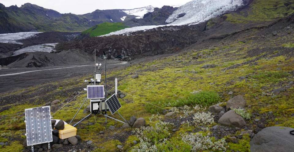
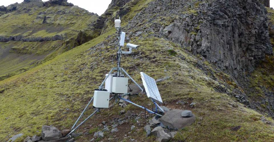
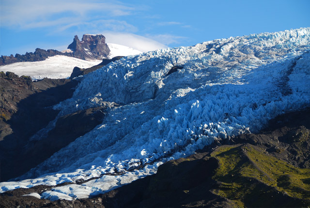
The BGS’s Virkisjökull Glacier Observatory operated three automated weather stations (AWS) around the glacier. These were positioned at different heights (156 m, 444 m and 885 m) to determine changes in weather parameters with altitude, thus producing, for example, temperature or humidity gradients.
Locations of the weather stations
156 m above sea level (asl); 16°48’19″W, 63°57’53″N.
444 m asl; 16°47’5.64″W, 63°58’12.78″N.
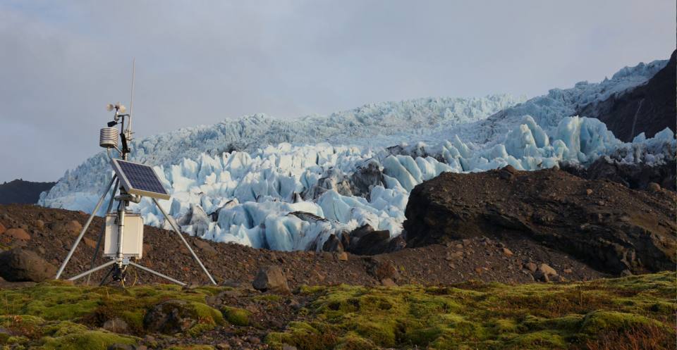
Automated weather station 4 (AWS4) high up above Virkisjökull. Heiko Buxel, BGS © UKRI. All rights reserved.
805 m asl; 16°48’7″W , 63°59’52″N.
77 m asl; 16°50’54″W, 63°57’11″N.
Images
Each of our weather stations captured three images a day using robust, colour, two megapixel security cameras. These are viewable as timelapse videos or can be requested on an individual basis or covering a specified time period by contacting Jez Everest.
Weather station data
Temperature (°C)
Stations: AWS1, AWS3, AWS4, ASG1
AWS1, 3 and 4 measure air temperature every five seconds and an hourly average is displayed.
ASG1 records water temperature in the first minute of each hour.
Relative humidity (%)
Stations: AWS1, AWS3, AWS4
Stations record every five seconds and an hourly average is displayed.
Wind speed (metres per second)
Stations: AWS1, AWS3, AWS4
AWS1 and 3 use a traditional anemometer measuring every five seconds to produce an hourly average.
AWS4 employs an ultrasonic sensor measuring every five seconds to produce an hourly average.
Wind speed maximum (metres per second)
Stations: AWS1, AWS3, AWS4
AWS1 and 3 use traditional anemometers measuring every five seconds to determine maximum speed in an hour.
AWS4 employs an ultrasonic sensor measuring every five seconds to determine maximum speed in an hour.
Wind direction (degrees)
Stations: AWS1, AWS3, AWS4
AWS1 and 3 use a traditional wind vane measuring every five seconds to produce an hourly average.
AWS4 employs an ultrasonic sensor measuring every five seconds to produce an hourly average.
Pressure (hectopascals)
Stations: AWS4
AWS4 records measurements every five seconds and an hourly average is displayed.
Rainfall (millimetres per hour)
Stations: AWS1, AWS4
AWS1 uses a tipping-bucket rain gauge, which records numbers of ‘bucket tips’ to derive an hourly total.
AWS4 employs a rainfall impact sensor and converts impacts to rainfall volume to give an hourly total.
Solar flux (watts per square metre)
Stations: AWS1
AWS1 uses a pyranometer and records every five seconds and an hourly average is produced.
The BGS gives non-exclusive permission to use its Virkisjökull Glacier Observatory weather station information free of charge, for non-commercial private study, research and educational activities, subject to you agreeing to acknowledge the information when reproducing any part of it and to compliance with any other stated terms and conditions of use.
The following acknowledgement must accompany the reproduced information:
‘Reproduced with the permission of the British Geological Survey © UKRI. All rights reserved.’
Where the information is used as the basis of specifically generated figures, sketches, illustrations, diagrams, map extracts or cross-sections, the source of the material should be cited as follows:
‘Based upon Virkisjökull weather station information, with the permission of the British Geological Survey’.
Commercial usage of the information is not permitted under these terms of use. Commercial usage of the information is permitted only subject to separate arrangements being agreed in writing with the BGS.
While every effort has been made to ensure the accuracy of this data, the BGS gives no warranty as to the quality or accuracy of the information or its suitability for any use. All implied conditions relating to the quality or suitability of the information, and all liabilities arising from the supply or use of the information and for any reliance on results arising out of use of the information (including any liability arising in negligence), are excluded to the fullest extent permitted by law.
Contact
If you want to discover more then please contact Jez Everest.
You may also be interested in
Glacier monitoring
The BGS uses cutting-edge technology in Iceland to monitor how glaciers and their surrounding landscape change over time, and how they respond to climate.