Brownfield ground risk calculator
BGS Research
In a densely populated nation like the UK, identifying suitable land for new homes is a national challenge. The UK Government has a national target of 300 000 new homes each year, which it is struggling to achieve. Building on greenfield (undeveloped) areas is often unpopular.
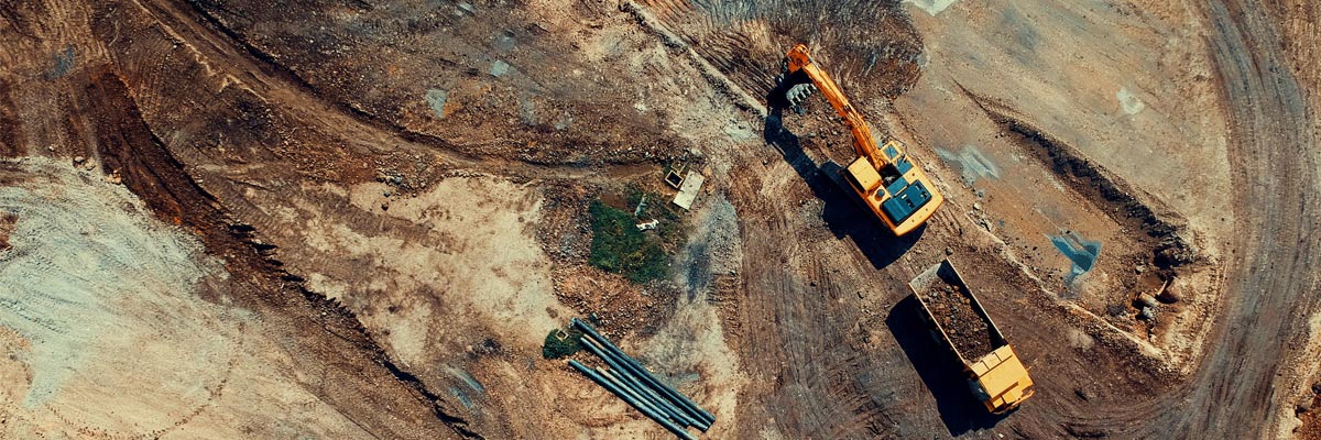
‘Brownfield’ sites are defined as having been affected by former land uses. They are often derelict or underused; may have real or perceived contamination problem; are mainly in developed urban areas, and require intervention to bring them back to beneficial use. Brownfield sites are often in prime locations; redeveloping them for housing is strongly preferable and can be achieved once these sites have been remediated ready to be safely re-used.
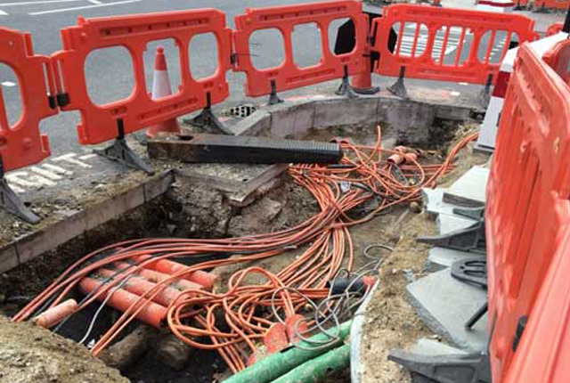
However, there are many examples where a lack of investigation of brownfield ground conditions has led to redevelopment plans being stalled or delayed, causing considerable overrun and increased development costs. Therefore any additional costs related to risks, such as soil and groundwater contamination and natural geohazards, must be considered, planned for and costed-in from the inception of the planning process. BGS Urban Geoscience been working with partners to develop a tool to simplify and speed up this process.
Quick links
The calculator
The brownfield ground risk calculator is a digital planning tool based in a geographical information system (GIS). The calculator has been developed to help identify the scale of risks and unexpected costs (‘abnormals’) associated with ground conditions such as:
- soil and groundwater contamination
- mining hazards (coal and other mining)
- radon (natural radioactivity)
- landfill
- natural hazards, including:
- landslides
- shrink–swell clays
- running sand
- collapsible ground
- compressible ground
- soluble rocks
The calculator estimates risk and the associated risk mitigation costs derived from a range of environmental data available for the area of interest. The results are presented as digital maps that contain details of the environmental data source used to produce the risk scores and risk mitigation cost estimates.
Risk scores are derived from data on sources of contamination or adverse ground conditions (resulting from previous land uses and natural processes) and the presence of exposure pathways and sensitive receptors (residents; water resources; buildings).
For there to be a risk, the source, pathway and receptor components of this conceptual model must be connected. Risk mitigation cost estimates represent the added costs that might need to be paid to develop a brownfield site, over and above ‘normal’ development costs.
No allowance is made in the calculator for the financial benefits of pre-existing infrastructure and proximity to services or employment that brownfield land usually has. These ought to be considered within the overall economic evaluation of individual sites.
Case studies
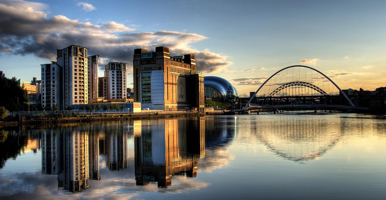

The Baltic Centre for Contemporary Art and the Millennium Bridge, Gateshead. © Wilka Hudson CC BY 2.0.
Gateshead Council have commissioned us to develop an adapted version of the Brownfield Ground Risk Calculator to conduct an appraisal of their brownfield land. Gateshead has a number of small brownfield sites with significant risks from coal mining and industrial legacies that impact development viability.
The Gateshead brownfield ground risk calculator builds on work with the Connected Places Catapult funded by the Planning Delivery Fund. This work identified the need for small developers working in Gateshead to understand ground constraints better. The calculator will address this need by providing a publicly accessible web tool as part of the Gateshead digital planning tool.
We are continuing to work closely with Gateshead Council and its local developer community to help align the tool to their needs.
Gateshead brownfield ground risk factsheets
Brownfield sites form a significant part of the Greater Manchester area. The brownfield ground risk calculator was originally developed for the Greater Manchester Combined Authority (GMCA) to help identify the scale of risks and abnormal (not anticipated) costs associated with ground conditions.
Methodology
We analysed 4770 brownfield sites and presented the results in a GIS in 50 × 50 m grid cells. Each cell is attributed with selected site information.
The ground risk score and mitigation cost estimate data are presented as two GIS layers: detailed site overview and generalised site summary. The scores reflect the risk that contamination might pose to human health and controlled waters and the potential effect of adverse ground conditions on the structural integrity of newly built homes.
Data sources
The calculator combines over twenty-five environmental spatial datasets available for the whole of the Greater Manchester area to derive ground risk and mitigation cost estimates. Data sources include:
- BGS
- Mining Remediation Authority
- Environment Agency
- Ordnance Survey
- Greater Manchester Combined Authority
The brownfield ground risk calculator has been used by the Greater Manchester Combined Authority to calculate risk, and therefore associated risk mitigation costs, for eleven sites along the new Wigan and Bolton Housing Growth Corridor, intended to deliver 13 000 much-needed new homes. Outputs from the brownfield ground risk calculator form the basis of a bid to Homes England‘s Housing Infrastructure Fund bid for approximately £132 million to support this vital new development. These funds are required to deliver physical infrastructure and overcome ground-related abnormal (unanticipated) costs in the proposed development area.
These plans are regionally significant and will provide some six per cent of the anticipated housing need across Greater Manchester by the year 2037. In addition, nearly 50 ha of land will also be delivered for employment, creating 183 093 m2 of new employment floor space.
The calculator provided risk scores and abnormal cost estimates for all eleven sites, forming important evidence in this funding application. Preliminary knowledge about ground conditions is an important component of any regeneration and development project. Reducing such uncertainties helps build confidence and minimises possible failures later in the project.
Future work
We are actively looking for new applications for the brownfield ground risk calculator. We would like to work with a range of public and private organisations challenged by the uncertainties of ground conditions within a brownfield land portfolio.
We believe that the calculator can change the way brownfield ground conditions are understood very early in planning and viability studies and we are keen to demonstrate this is the case with forward-thinking individuals and organisations. We envisage working collaboratively with new partners where co-design, co-development and co-delivery form the basis of the working relationship.
Contact
If you want to discover more then please contact Darren Beriro.
You may also be interested in

Urban geoscience
Providing solutions for urban land-use planning and sustainable development.
Project Iceberg
Project Iceberg aims to address the serious issue of the lack of information about the ground beneath our cities and the un-coordinated way in which the subsurface space is managed.