

Latest

New project mapping UK Continental Shelf provides boost to offshore infrastructure and development
22/10/2026
BGS is leading a three-year project funded by The Crown Estate to develop a new suite of seabed geology datasets and reports, providing crucial information for offshore developers about the seabed around the UK.
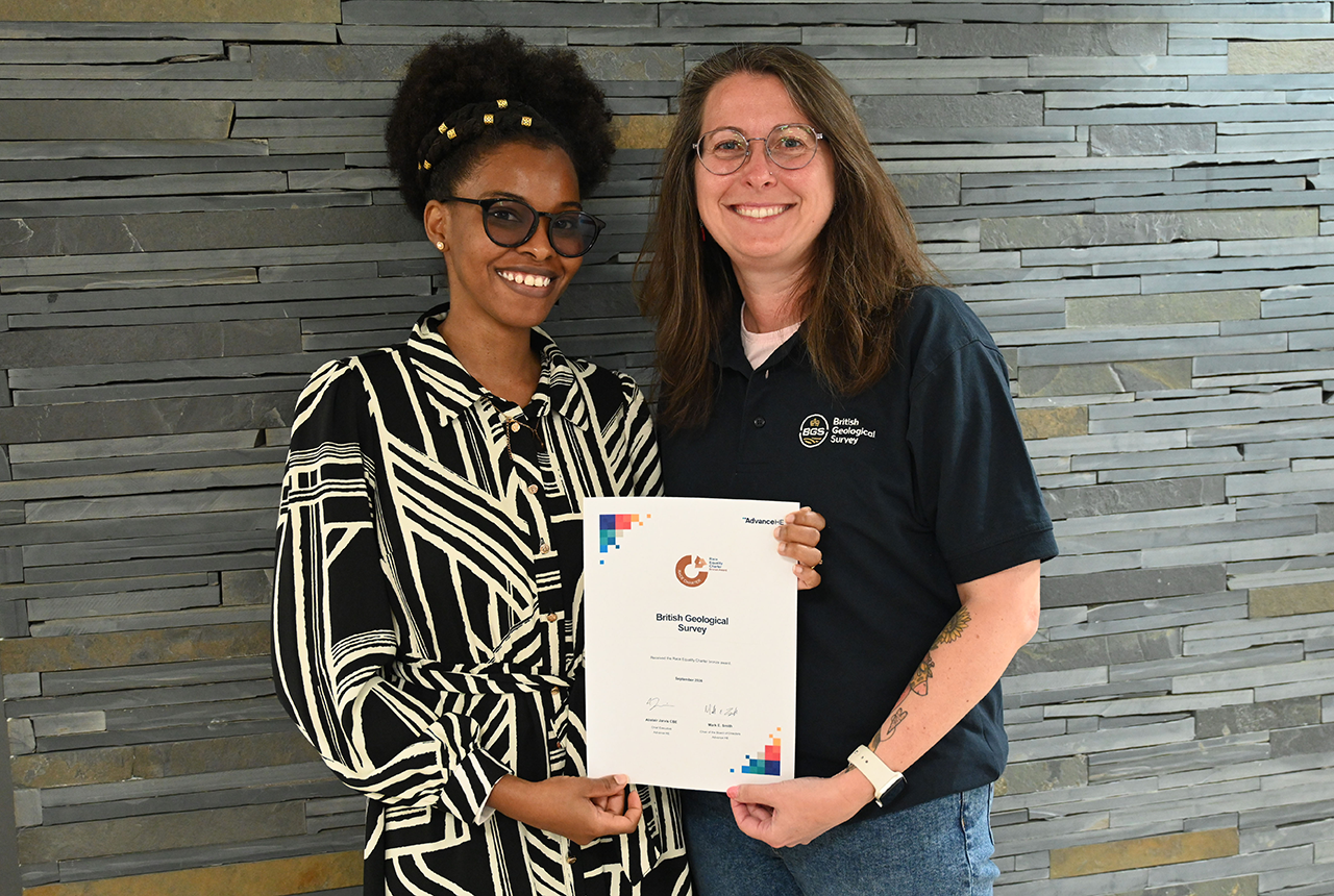
BGS one of the UK’s first specialist research institutes to receive Race Equality award
20/10/2026
BGS has secured Bronze accreditation under the Advance HE Race Equality Charter framework, recognising its commitment to identifying and addressing race equality issues in the geosciences.
Improving bioaccessibility testing for contaminated soils
15/10/2026
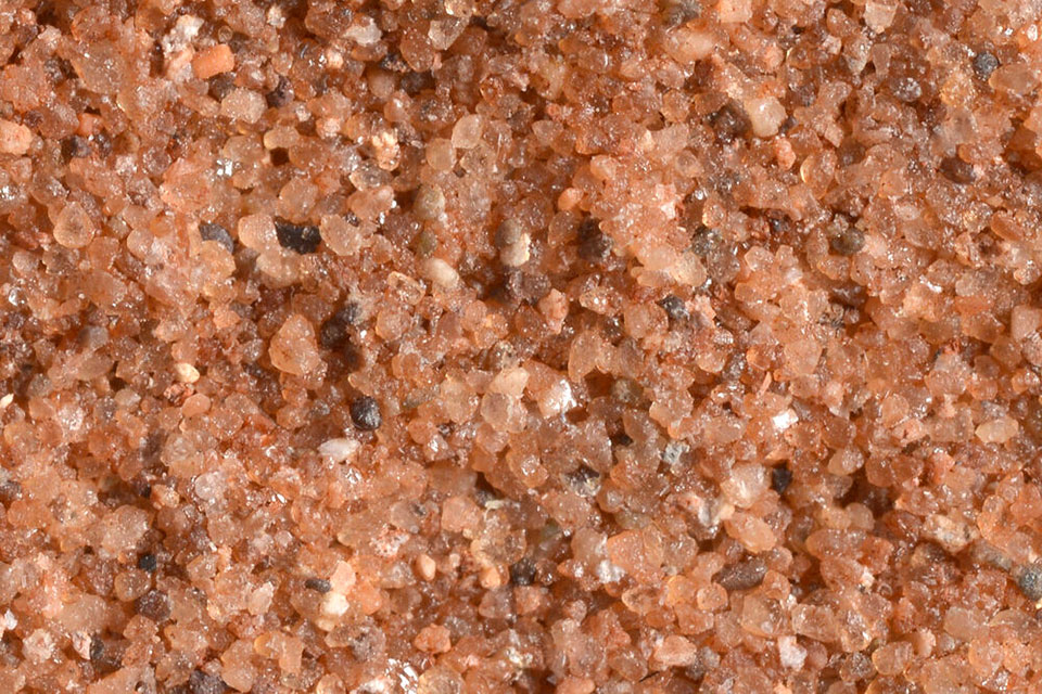
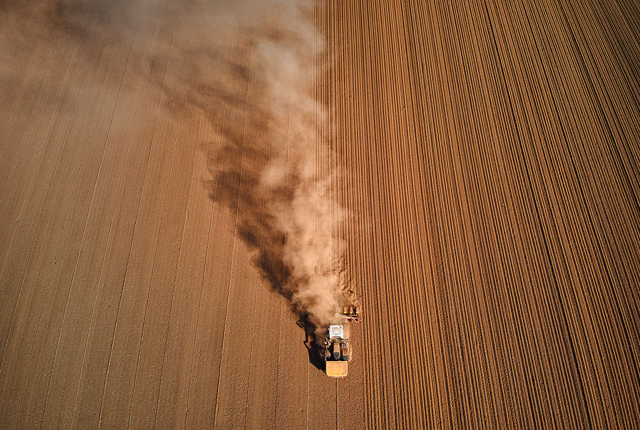
BGS has been trialling a novel bioaccessibility tracing technique to ascertain if it offers more analytical precision over traditional methods of detecting chemicals in contaminated soils.
Explore more news
Browse all news and events by category
New project mapping UK Continental Shelf provides boost to offshore infrastructure and development
22/10/2026
BGS is leading a three-year project funded by The Crown Estate to develop a new suite of seabed geology datasets and reports, providing crucial information for offshore developers about the seabed around the UK.
BGS one of the UK’s first specialist research institutes to receive Race Equality award
20/10/2026
BGS has secured Bronze accreditation under the Advance HE Race Equality Charter framework, recognising its commitment to identifying and addressing race equality issues in the geosciences.
Improving bioaccessibility testing for contaminated soils
15/10/2026
BGS has been trialling a novel bioaccessibility tracing technique to ascertain if it offers more analytical precision over traditional methods of detecting chemicals in contaminated soils.
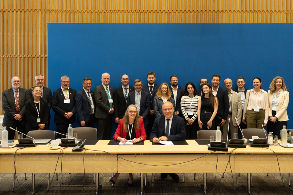
British and French geological surveys strengthen collaboration through new agreement
14/10/2026
Two of Europe’s leading geological surveys have signed a Memorandum of Understanding to strengthen collaboration on key geoscientific challenges.
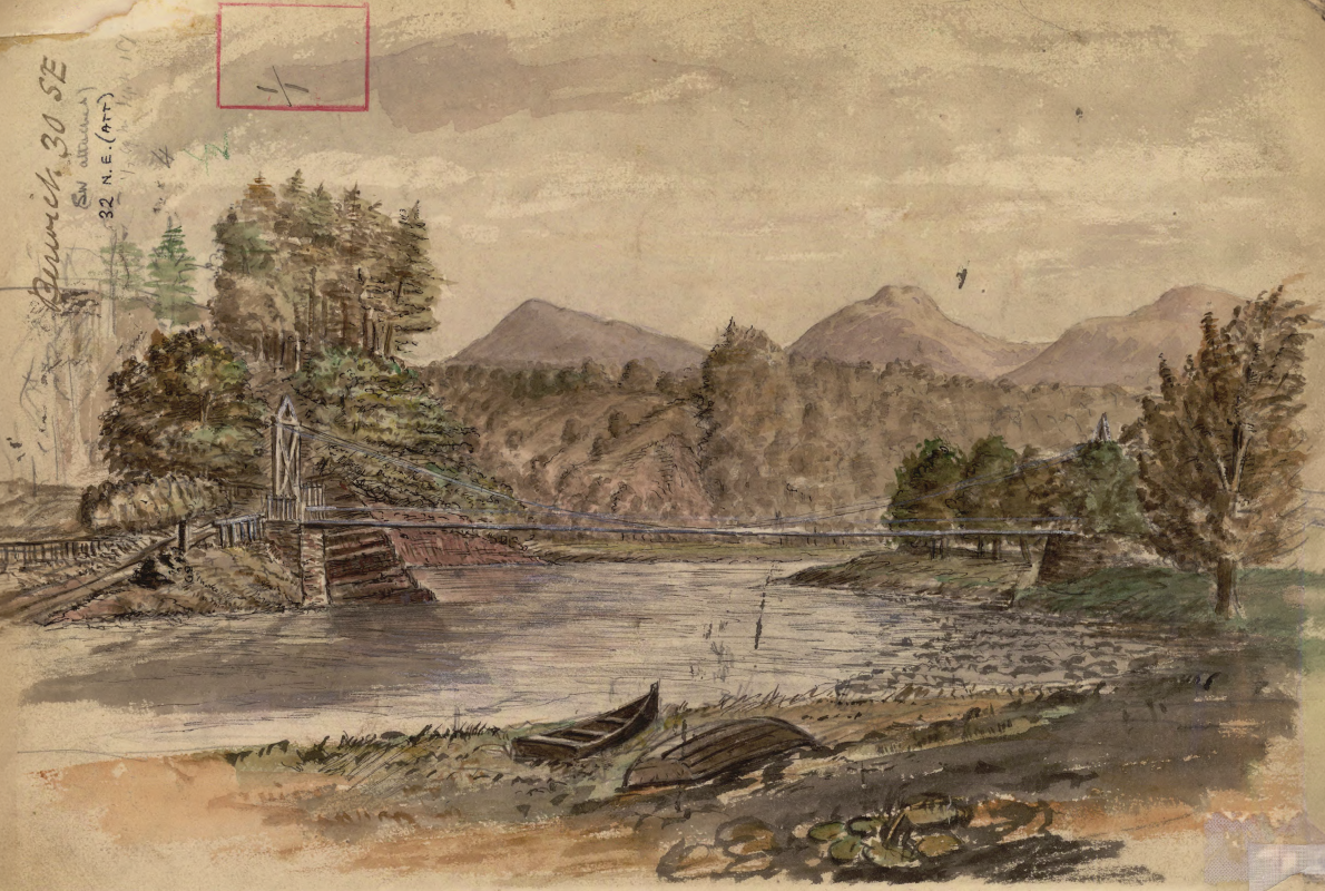
Historic watercolour unearthed on back of Dryburgh geological field map
05/10/2026
A 150-year-old painting of Dryburgh Suspension Bridge and the River Tweed offers an insight into the Scottish Borders landmark shortly after it was built in the 1870s.
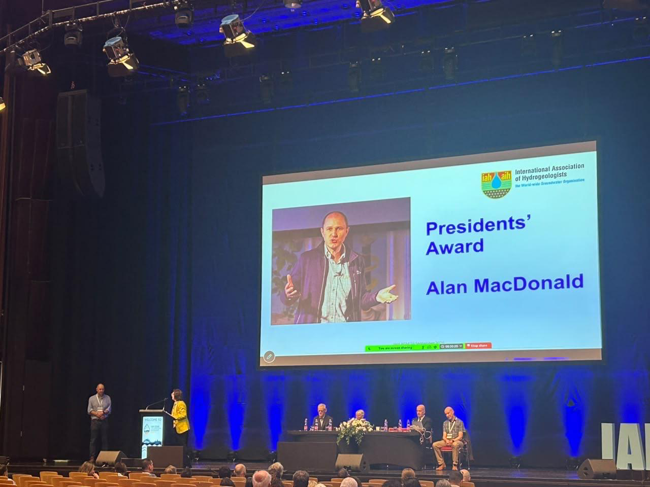
Professor Alan MacDonald presented with Presidents’ Award at 2026 World Groundwater Congress
21/09/2026
The BGS Head of Groundwater has been recognised with this prestigious award by the International Association of Hydrogeologists for his extensive contributions to groundwater science.
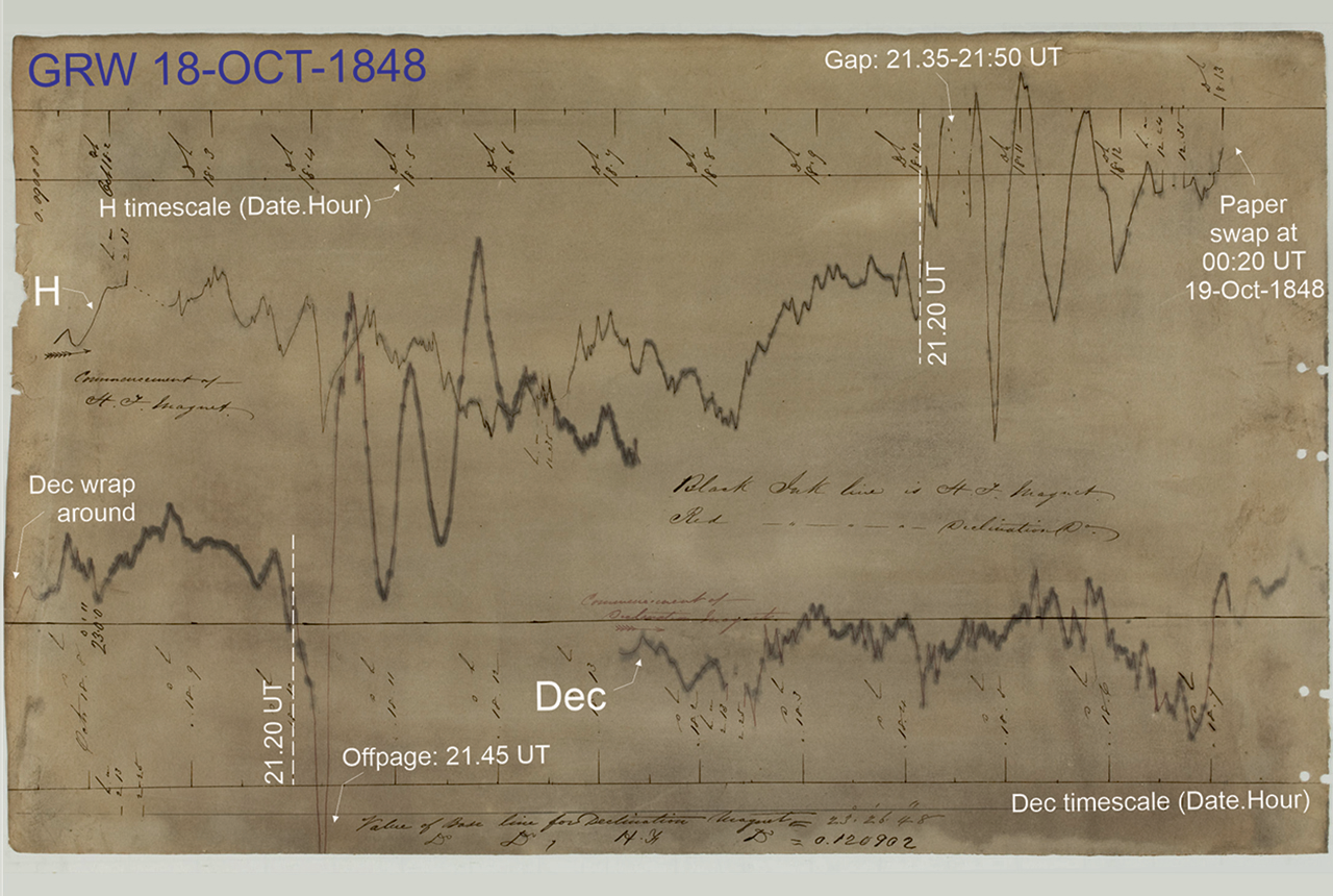
Mystery of one of the earliest recorded space weather impacts solved
17/09/2026
BGS scientists were part of an international team that has solved a 178-year-old mystery surrounding one of the earliest recorded examples of space weather affecting technology.
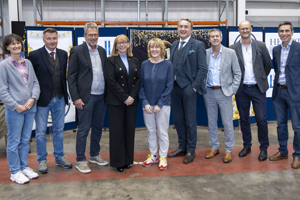
The Lyell Centre celebrates 10 years of world-leading earth and marine science research
07/09/2026
The Lyell Centre for Earth and Marine Sciences, a strategic partnership between Heriot-Watt University and BGS, is celebrating its 10th anniversary, marking a decade of world-leading research, innovation and collaboration in earth and marine sciences.