Relative topics
76 results for "geohazards"
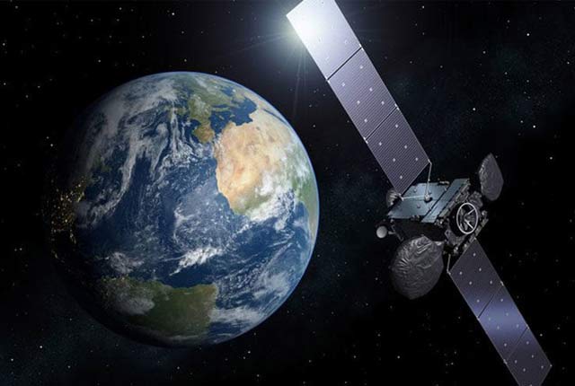
Geodesy and Earth observation
Developing and using innovative Earth observation techniques to characterise and monitor Earth processes that affect lives and livelihoods.
New tsunami risk identified in Indonesia
Scientists have identified a potential new tsunami risk in Indonesia by mapping below the seabed of the Makassar Strait.
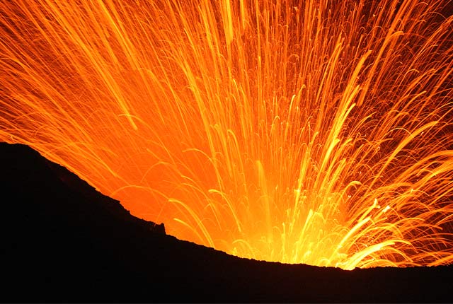
Volcanology
Our scientists lead research projects and work in partnerships around the world to improve our understanding of volcanic processes, hazards and risks.
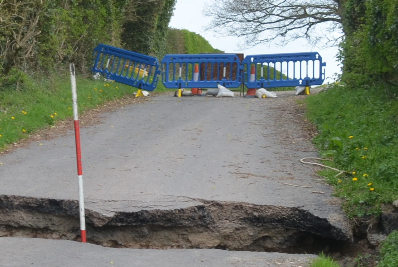
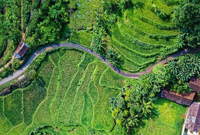
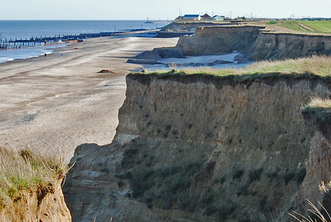
Shallow geohazards
Measuring, recording and analysing near-surface geological hazards including landslides, sinkholes and discontinuities.
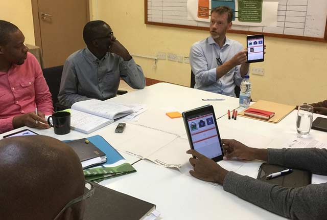
Enhancing multi-hazard resilience through citizen science in the Caribbean
We are working with partners to develop a citizen science app for collecting and sharing observations of natural hazards and impacts in near real-time.
Coasts and estuaries geohazards
Providing independent and expert geoscientific tools and advice to assess different adaptation options to coastal flooding and erosion.
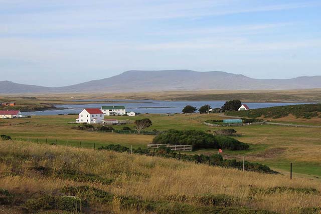
Deep-ocean current creates tsunami risk for Falkland Islands
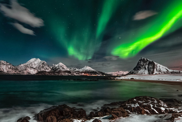
Geomagnetism
Measuring, recording and interpreting variations in the Earth’s magnetic field including those caused by space weather