Relative topics
21 results for "engineering geology"
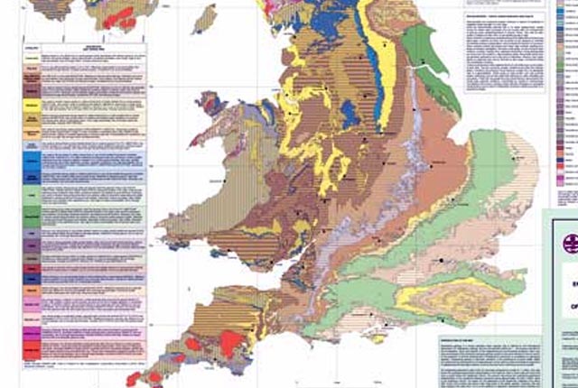
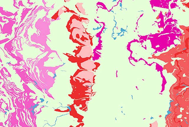
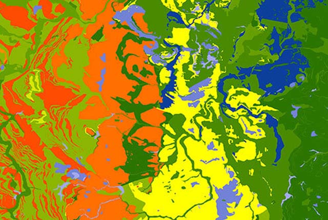
Engineering geology maps
BGS has produced 1:1 million-scale engineering geological maps of the UK, attributed with ‘engineering geological units’ in place of the traditional lithostratigraphical units.

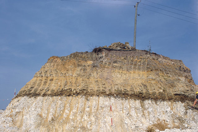
Sherwood Sandstone Group
The Sherwood Sandstone Group was deposited in the Late Permian to Early Triassic and is present in many of the sedimentary basins in the UK.
Lambeth Group
The Lambeth Group was deposited in the Palaeogene and underlies much of the city of London.
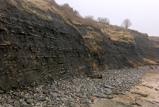
Lias Group
The Lias Group was deposited in the Late Triassic to early Jurassic and crops out in a band across England from Dorset to Yorkshire.
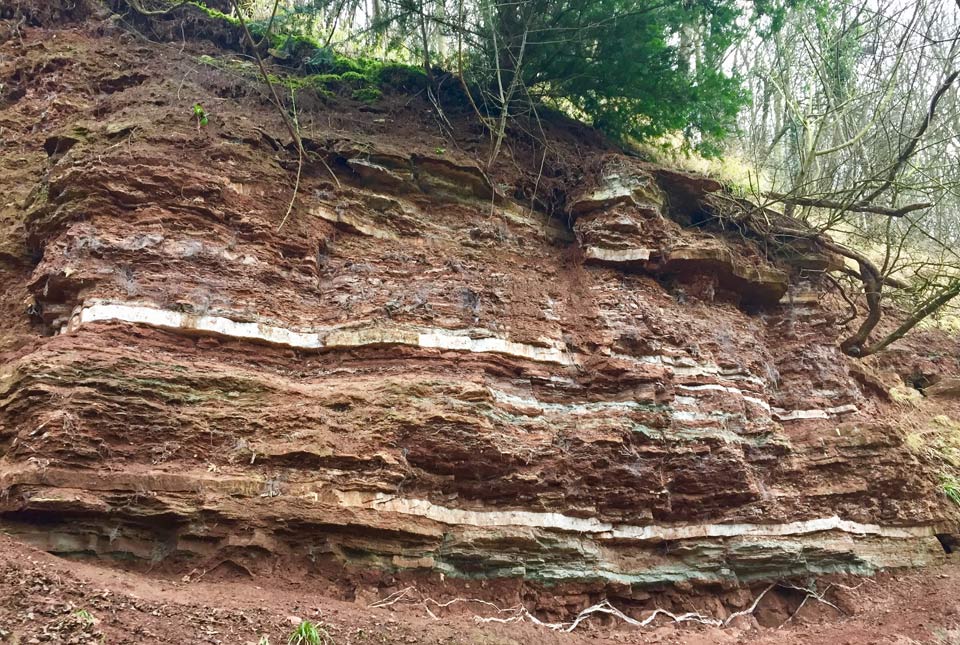
Mercia Mudstone Group
The Mercia Mudstone Group was deposited in the Triassic and underlies much of central and southern England.
Gault Formation
The Gault Formation was deposited in the Cretaceous and crops out from East Anglia to west Dorset, and from north-east Kent to Sussex.
BGS Civils: sulfate/sulfide potential
The BGS Civils: sulfates and sulfides dataset is a GIS layer that supports the management of underground assets
BGS Civils: discontinuities
This theme provides information on the discontinuities in bedrock and superficial deposits as part of a suite of GIS layers for different engineering parameters.