Relative topics
11 results for "artificial intelligence"
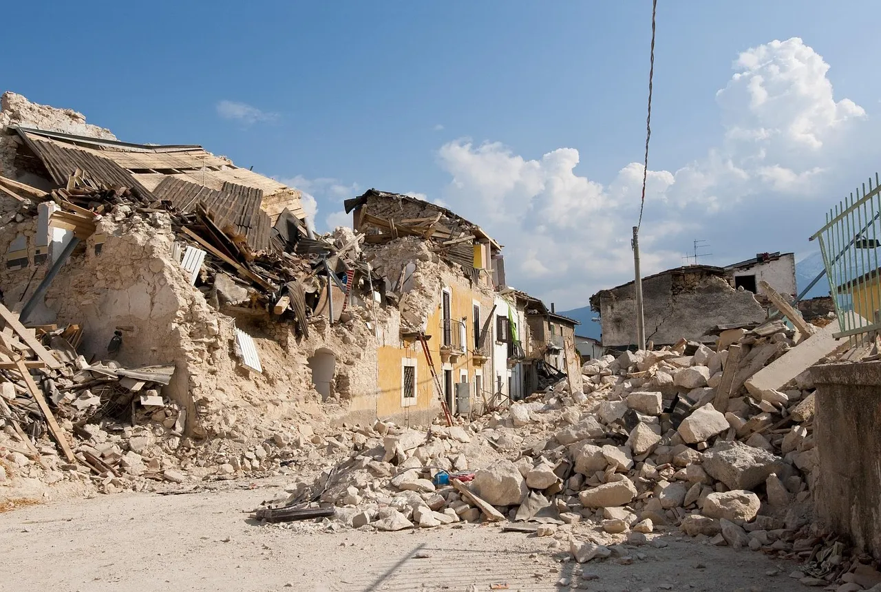
New research shows artificial intelligence earthquake tools forecast aftershock risk in seconds
Researchers from BGS and the universities of Edinburgh and Padua created the forecasting tools, which were trained on real earthquakes around the world.
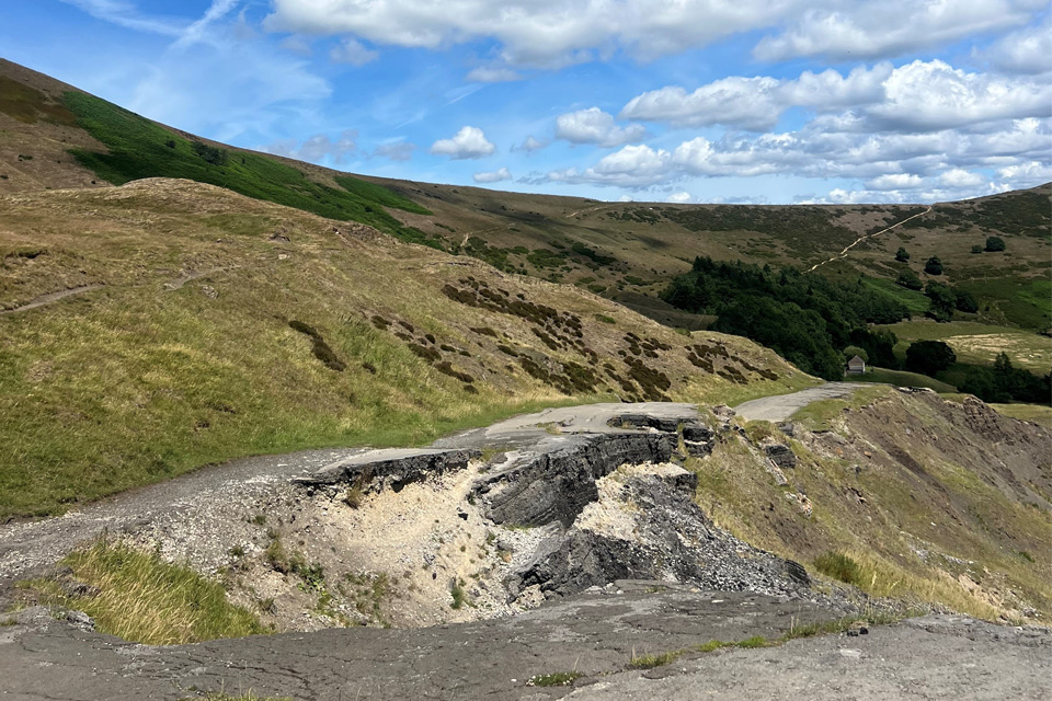
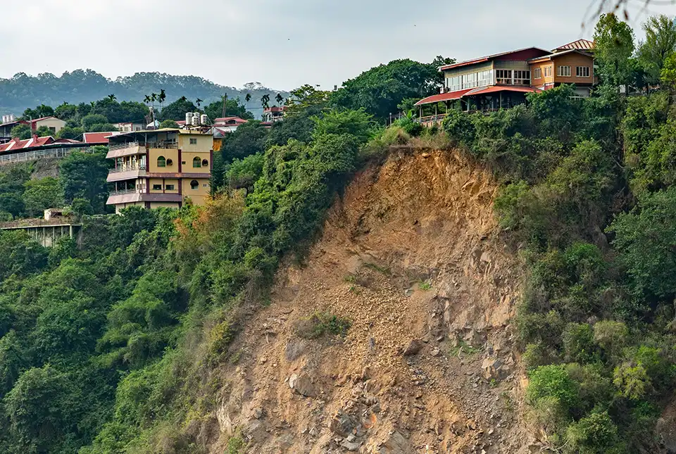
Artificial intelligence helps scientists identify 3000 moving slopes potentially at risk of landslide
A new approach that combines AI and satellite data has been used by scientists to detect actively moving landslides at a national scale.
AI and Earth observation: BGS visits the European Space Agency
The newest artificial intelligence for earth science: how ESA and NASA are using AI to understand our planet.
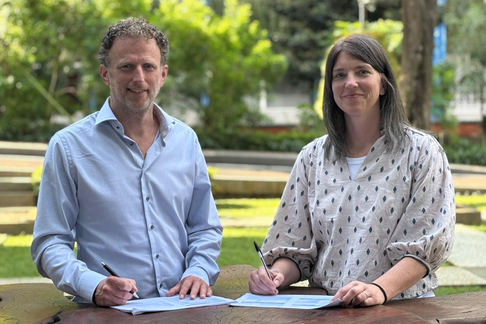
New collaboration aims to improve availability of real-time hazard impact data
BGS has signed a memorandum of understanding with FloodTags to collaborate on the use of large language models to improve real-time monitoring of geological hazards and their impacts.
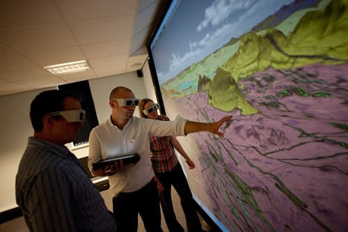
Celebrating 20 years of virtual reality innovation at BGS
Twenty years after its installation, BGS Visualisation Systems lead Bruce Napier reflects on our cutting-edge virtual reality suite and looks forward to new possibilities.
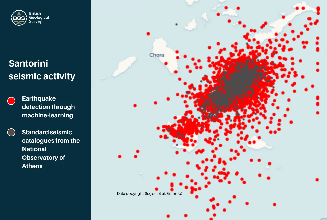
Artificial intelligence is proving a game changer in tracking the Santorini earthquake swarm
Scientists are harnessing the power of machine learning to help residents and tourists by detecting thousands of seismic events.
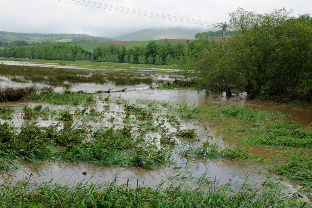
New £38 million project to reduce the impact of floods and droughts
BGS will take a leading role in efforts to better predict the location and effects of extreme weather events.
Studying multi-hazards from space
A new European Space Agency-funded project will study the effect earthquakes have on occurrences of other natural hazards in the long-term.