Datasets
These are our most popular and influential datasets. For a comprehensive list of all BGS data, please visit the BGS Metadata Catalogue
 Data Preview
This theme provides information on the electrical resistivity of a geological material, to be used where the earthing characteristics of the ground are required.
- Premium
- 1:50 000
- Great Britain
Data Preview
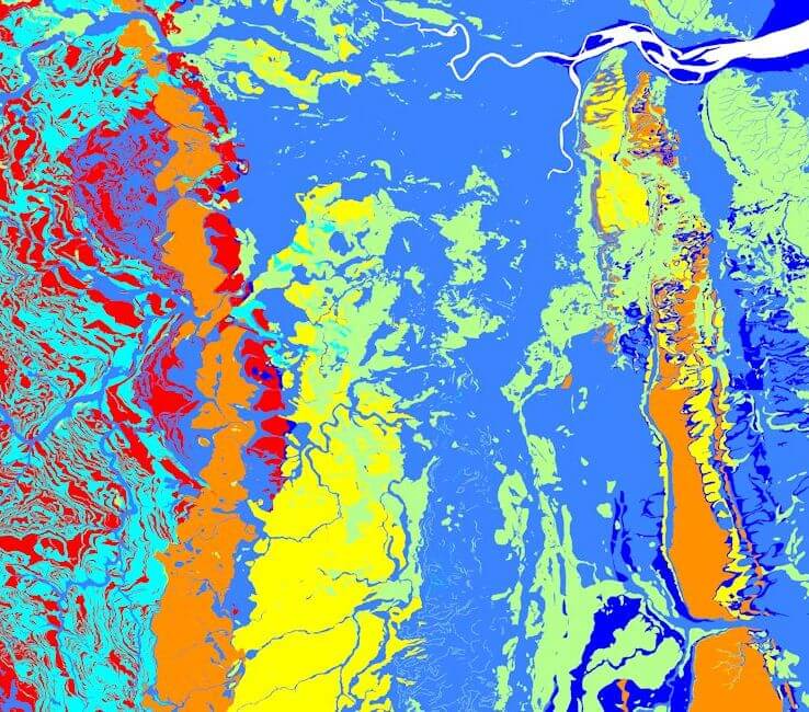
The seabed geology map dataset covers regions on the UK’s continental shelf and details the substrate geology, structural geology and seabed geomorphology.
- Open
- 1:10 000 – 1:50 000
- Regional
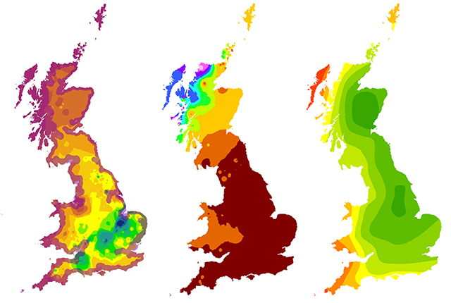
The Biosphere Isotope Domains GB (Version 2) data comprises analysis and location-specific information for strontium, sulphur, lead and oxygen (from drinking water and tooth enamel) isotope variation for Great Britain.
- Open
- The dataset is represented by 1 km hexagon cells
- Great Britain
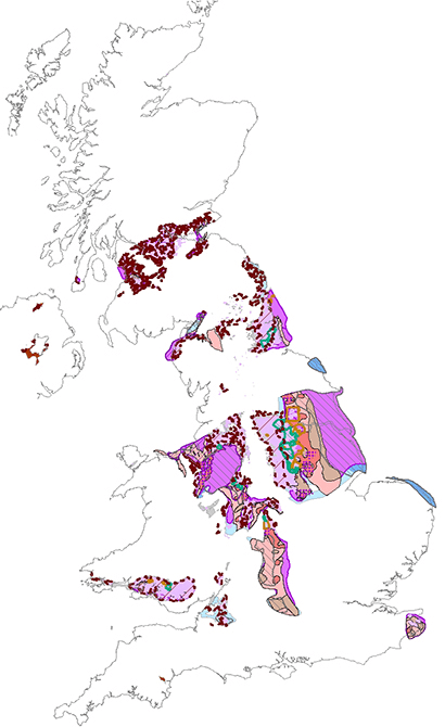
A series of maps showing the potential of the UK onshore coal resources for exploitation by conventional and new technologies.
- Open
- 1:1 000 000
- UK

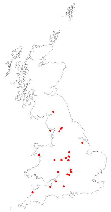
Total organic carbon is a measure of the weight per cent of organic carbon within hydrocarbon source rocks. This dataset is derived from borehole analysis.
- Premium
- Great Britain
BGS vitrinite reflectance data derived from borehole analysis. Vitrinite reflectance data tells us the maximum temperature history of a sediment.
- Premium
- Great Britain
As a result of our annual price review BGS will apply, in most cases, a 3 percent increase* to our direct licence fees for our data products from 1st April 2026. This means that any direct licence issued or renewed on or after 1 April 2026 will reflect this increased price. Existing data licensees will not be affected until such time as their licence is next due for renewal, after 1 April 2026. BGS undertakes annual price reviews and will communicate any future licence fee changes (from 2027) as appropriate.
If you have any queries regarding this matter, please contact the IPR digital team (iprdigital@bgs.ac.uk).
* Due to the specific pricing of individual datasets please note not all price changes will equate exactly to 3%.