Scientific report published
BGS was requested by the UK Government to address six questions related to recent scientific research on the hazard and risk from induced seismicity during hydraulic fracturing of shale rocks.
22/09/2022 By BGS Press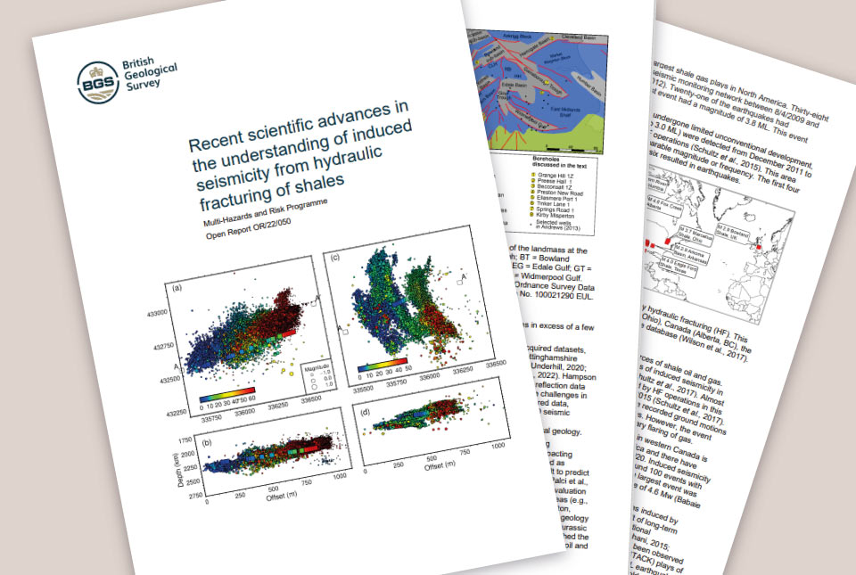

BGS submitted the report ‘Recent scientific advances in the understanding of induced seismicity from hydraulic fracturing in shales’ to the UK Government on 5 July 2022. This was in response to a Government request for a review of new scientific evidence focusing on the period from November 2019 until the present.
The report has been externally peer-reviewed by independent experts both within and outside the UK. The report draws on existing peer-reviewed data and research from academic journals, as well as on information from relevant technical reports from regulators and public bodies.
The UK Government requested BGS address six questions related to recent scientific research on the hazard and risk from induced seismicity during hydraulic fracturing of shale rocks. For more information about these questions, please refer to the letter from the Secretary of State.
This report concludes that forecasting the occurrence of large earthquakes and their expected magnitude is complex and remains a scientific challenge. As a result, our ability to evaluate and mitigate risks from hydraulic fracturing-induced seismicity and predict the occurrence of larger earthquakes during hydraulic fracturing operations is also a challenge.
This report also concludes there are new seismic data analysis methods that could help to manage the risk of seismic activity from hydraulic fracturing in shales. Further work is needed to develop these methods and incorporate them in risk assessments.
If you have any enquiries on the findings of the scientific report, please email our Press Office.
If you have any other queries then please contact the BEIS press office.
Further information about our research is also available on our website:
Frequently asked questions
BGS submitted the report ‘Recent scientific advances in the understanding of induced seismicity from hydraulic fracturing in shales to the Department of Business, Energy & Industrial Strategy on 5 July 2022. The report was prompted by a Government request for BGS to conduct a review of science about seismic activity associated with hydraulic fracturing of shales to extract hydrocarbons, focusing on work published between November 2019 and the present.
BGS was requested by the UK Government to address six questions related to recent scientific research on the hazard and risk from induced seismicity* during the hydraulic fracturing of shale rocks. More information about these questions can be found in a published letter from the Secretary of State of the Department of Business, Energy & Industrial Strategy.
*induced seismicity: earthquakes that are caused by human activity, such as hydraulic fracturing and mining.
In order to answer the questions set out by the Secretary of State of the Department of Business, Energy & Industrial Strategy, the report draws on existing data and peer-reviewed research from academic journals and information from relevant technical reports from regulators and public bodies. This includes:
- published examples of induced seismicity related to hydraulic fracturing
- analytical and numerical modelling studies
- geological investigations
- hazard and risk assessments
- our wider understanding of earthquakes in general
No drilling of any further test wells or seismic monitoring took place.
This report has been externally peer-reviewed by independent experts within and outside the UK. The peer-review process was required to independently assess the quality and validity of the work.
The report set out to answer the questions set out by the Secretary of State for the Department of Business, Energy &Industrial Strategy. The report also sets out recommendations where further study is needed.
This report concludes that forecasting large magnitude earthquakes and understanding the mechanisms behind earthquake occurrence remain a scientific challenge. This is the case for tectonic, natural and induced earthquakes.
This report also concludes that methods have been developed that use geological and geophysical data, including real-time analysis of operational data. These methods may help evaluate the potential for induced seismicity and therefore better manage risks both before and during hydraulic fracturing operations. More work is needed to develop these methods and incorporate them into risk assessments. Further research to bring new insights that may reduce uncertainties and improve the mitigation of risks is also required.
A full summary and further information about the scientific content of the review is included within the report.
The report submitted to the Department for Business, Energy & Industrial Strategy answers six specific questions from the terms of reference related to recent scientific research on the hazard and risk from induced seismicity during hydraulic fracturing of shale rocks. While this may help inform any decision about the lifting of the moratorium, our report does not make any conclusions about whether the moratorium should be lifted.
The report concludes that more measurements from boreholes in areas of shale gas potential will improve assessment of risks prior to, and during any hydraulic fracturing operations. For example, recent research demonstrates the importance of geomechanical modelling to identify the faults that are most likely to rupture during operations. These models require accurate mapping of subsurface faults, robust estimates of stress state and formation pore pressures, and knowledge of the mechanical properties of subsurface rocks.
Relative topics
Related news

Updated geological assessment of the Southern North Sea set to underpin future offshore infrastructure development
25/03/2026
The first regional assessment for 30 years will support offshore marine and subsurface planning for the UK’s low-carbon energy infrastructure, including the 2030 target of 45 to 50 GW generated through offshore wind.

New research could help provide a more reliable water supply for millions in rural Africa
24/03/2026
A new BGS-led study has revealed crucial insights into the longstanding challenges affecting the reliability and performance of rural water supply infrastructure in sub-Saharan Africa.

Call for new members and Chair to join the NERC facilities steering committees
25/02/2026
New members are needed to join the committees over the next four years.

Your views wanted: developing a geothermal energy subsurface data portfolio
24/02/2026
BGS is aiming to support the growth of the sector by providing the best-available, location-specific geothermal and ground source heat information as an accessible product or service.

Map of BGS BritPits showing the distribution of worked mineral commodities across the country
18/02/2026
BGS’s data scientists have generated a summary map of the most commonly extracted mineral commodities by local authority area, demonstrating the diverse nature of British mineral resources.

Funding awarded to map the stocks and flows of technology metals in everyday electronic devices
12/02/2026
A new BGS project has been awarded Circular Electricals funding from Material Focus to investigate the use of technology metals in everyday electrical items.

New UK/Chile partnership prioritises sustainable practices around critical raw materials
09/02/2026
BGS and Chile’s Servicio Nacional de Geología y Minería have signed a bilateral scientific partnership to support research into critical raw materials and sustainable practices.

Extensive freshened water confirmed beneath the ocean floor off the coast of New England for the first time
09/02/2026
BGS is part of the international team that has discovered the first detailed evidence of long-suspected, hidden, freshwater aquifers.

Funding secured to help mitigate ground risk in UK construction sector
05/02/2026
The BGS Common Ground project has been awarded new funding to help unlock the value of ground investigation data.

Can sandstones under the North Sea unlock the UK’s carbon storage potential?
02/02/2026
For the UK to reach its ambitious target of storing 170 million tonnes of carbon dioxide per year by 2050, it will need to look beyond the current well-studied geographical areas.

Quaternary UK offshore data digitised for the first time
21/01/2026
The offshore wind industry will be boosted by the digitisation of a dataset showing the Quaternary geology at the seabed and the UK’s shallow subsurface.

Suite of ten new soil reference materials released
02/01/2026
BGS has a longstanding track record of producing high-quality reference materials and has released ten new soil reference materials.