Latest

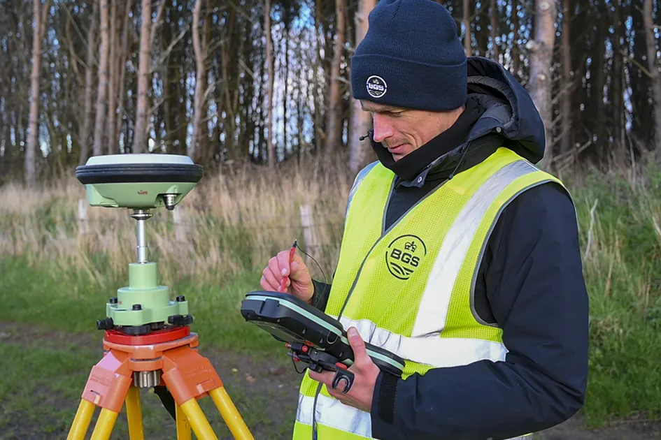
New geological maps of the Yorkshire Wolds to better inform groundwater management and policy decisions
17/12/2025
The new mapping provides crucial data on localised geological issues that may assist in protecting water supplies.
‘Three norths’ set to leave England and not return for hundreds of years
12/12/2025
The historic alignment of true, magnetic, and grid north is set to leave England, three years after they combined in the country for the first time since records began.
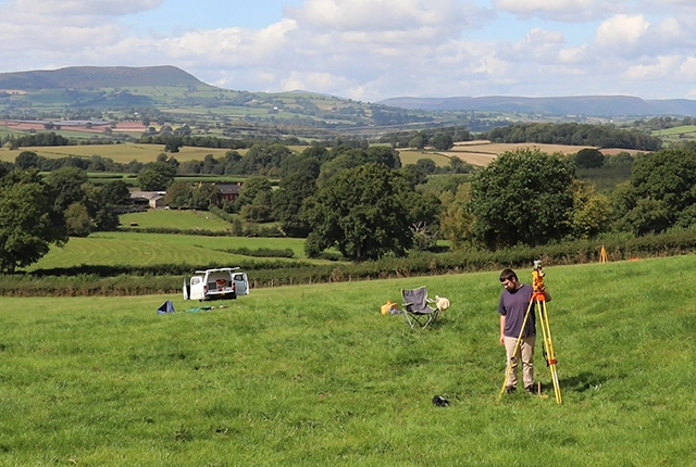

How the geology on our doorstep can help inform offshore infrastructure design
19/11/2025
BGS is part of a new collaboration using onshore field work to contextualise offshore data and update baseline geological models which can inform the sustainable use of marine resources.
Explore more news
Browse all news and events by category
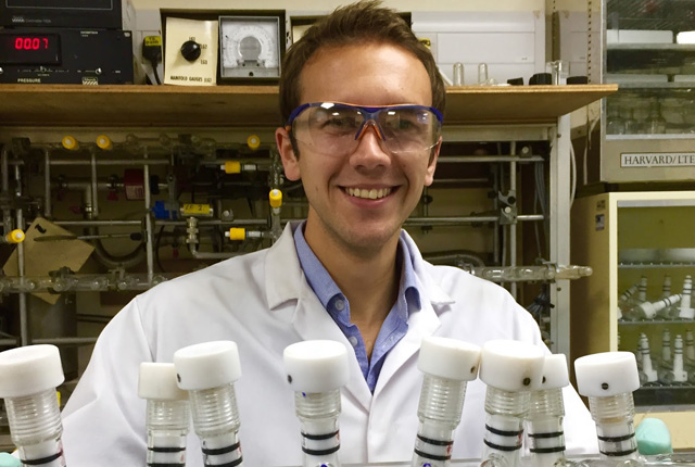
An exciting new development in soil phosphate oxygen isotope analysis
03/06/2017
Phosphorus is a key nutrient for all life, critical for the development of cells and the functioning of DNA and RNA.
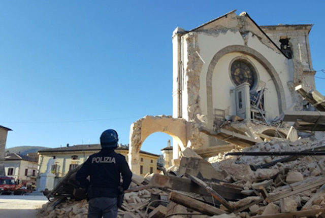
Deploying and servicing a seismic network in Central Italy
02/06/2017
BGS seismologists are using the seismicity that is hitting Central Italy to analyse the triggering and evolution of an earthquake sequence.
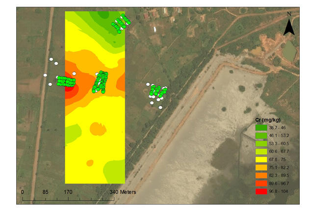
Environmental contamination from mine tailings in Africa
02/06/2017
BGS scientists helped with experimental trials to investigate the influence of soil management strategies, on metal uptake of soils.
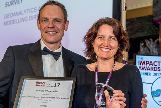
BGS wins impact award
02/06/2017
The GeoAnalytics and modelling (GAM) directorate have won Team of the Year at the PraxisUnico Impact Awards 2017!
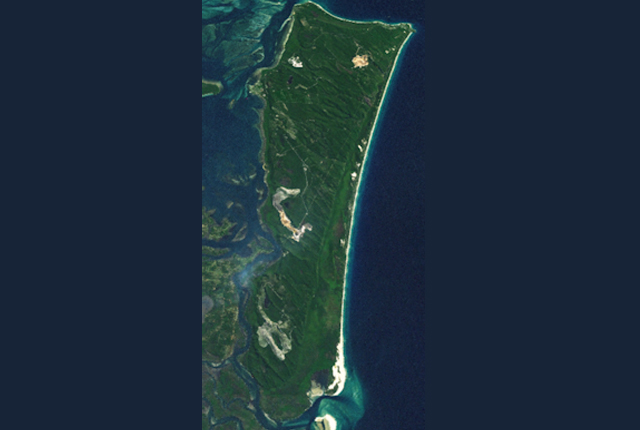
Investigating climate and environmental change in eastern Australia
02/06/2017
Climate change in Australia could lead to environmental and economic impacts on water security, agriculture, coastal communities and infrastructure.
GeoSciML data standard becomes official
15/03/2017
The OGC GeoSciML Standard defines a model and the encoding for geological features commonly described and portrayed in geological maps, cross sections, geological reports and databases.