Latest

Funding secured to help mitigate ground risk in UK construction sector
05/02/2026
The BGS Common Ground project has been awarded new funding to help unlock the value of ground investigation data.

Hole-y c*@p! How bat excrement is sculpting Borneo’s hidden caves
23/12/2025
BGS researchers have delved into Borneo’s underworld to learn more about how guano deposited by bats and cave-dwelling birds is shaping the subsurface.
Explore more news
Browse all news and events by category

Community water management for a liveable London
02/06/2018
A research consortium including BGS will collaborate with partners and stakeholders within London to address sustainable management of the city's water within the context of required housing growth and the environment.
Risks from fracking to be studied by top UK research team
02/06/2018
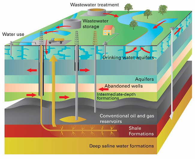
A BGS-led research team is setting out to define the combined environmental and health risks over the whole life cycle of shale gas operations in the UK.

Mapping a geomagnetic storm with Raspberry Pi magnetometers
02/06/2018
In September 2017, one of the largest geomagnetic storms of the current solar cycle hit the Earth after a coronal mass ejection left the Sun.
EMODnet data ingestion service
02/06/2018
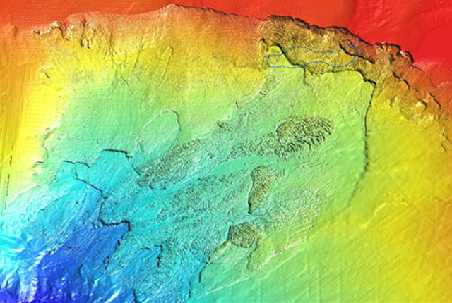
The European Marine Observation and Data Network (EMODnet) consists of more than 160 organisations that together work on assembling, harmonising and making marine data, products and metadata more available.
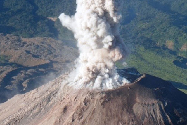
Natural hazards and disaster risk reduction in Guatemala
02/06/2018
Guatemala is exposed to multiple natural hazards, including earthquakes, volcanic eruptions (and all their associated hazards, such as ash, lava flows, pyroclastic density currents and lahars), tsunamis, landslides, floods, droughts, ground collapse, tropical storms and hurricanes, extreme temperatures, and forest fires.


