Latest

Delving deep into mountains for future water security
16/07/2026
A BGS-led project is using new water-tracing investigation methods, geophysics and modelling to understand how water moves from mountains to the lowlands, helping to improve water security for billions of people.

Updated national 3D model will determine the depth to the solid bedrock beneath our feet
13/07/2026
The BGS Superficial Deposit Thickness Model now includes an elevation model of geological rockhead for the first time, providing important data for civil engineers, geoscientists and environmental scientists.


Collecting beach pebbles: fun hobby but is it legal?
14/07/2026
The UK coastline will be inundated with keen holidaymakers this summer, many of whom will take a memento of their trip home in the shape of a pebble or two — but is it legal?
Explore more news
Browse all news and events by category
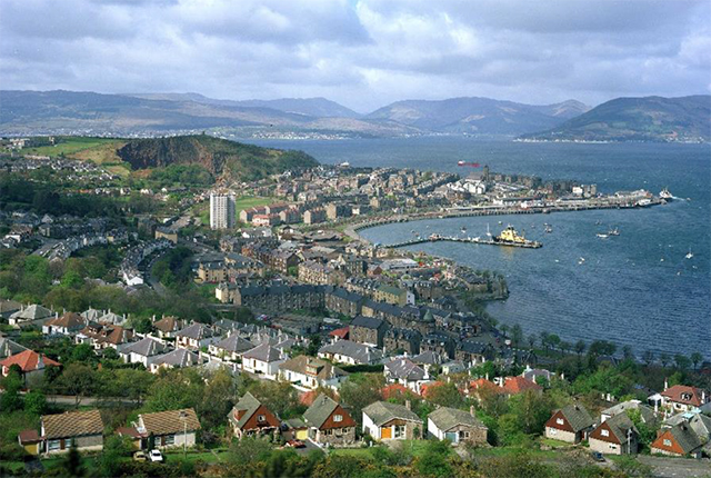
Scientists identify hidden landslides beneath Scottish lochs
26/06/2020
Survey data shows five locations around the Scottish coast are subject to underwater landslides.
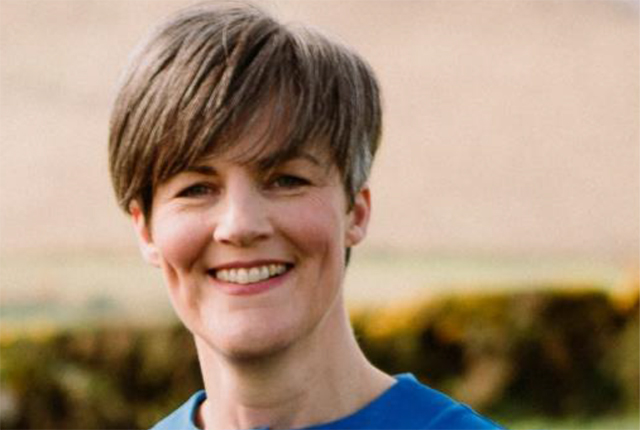
BGS’s Dr Marie Cowan honoured by Royal Irish Academy for contribution to society
22/05/2020
Dr Marie Cowan, Director of the Geological Survey of Northern Ireland, has received the major national honour for her contribution to society on the island of Ireland.
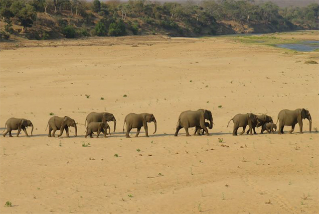
Science is helping us to understand why African elephants move between landscapes
20/05/2020
Growing concern for African elephants has prompted scientists to understand more about their movement choices.