BGS talks at EGU 2025
BGS will be attending the European Geosciences Union’s annual General Assembly, giving a number of talks and presentations throughout the week.
25/04/2025 By BGS Press
Members of the BGS team will be attending EGU 2025 and delivering a number of talks and presentations throughout the week. Here more information on our talk schedule.
- Monday 28 April: Chris Brown, 11:40 to 11:50 Room 2.43
Underground thermal energy storage (UTES) offers a promising yet underutilized solution for balancing supply and demand in heating and cooling applications. This is especially relevant within the UK’s decarbonization strategy. Applications such as data centres, which have significant cooling demands and generate waste heat, typically rely on grid electricity for cooling while ejecting heat into the atmosphere. However, UTES presents an opportunity to store this excess heat underground whilst meeting cooling demands. The stored energy can later be extracted for heating purposes, addressing both cooling and heating requirements simultaneously.
This study explores an innovative approach to meeting high cooling and heating demands using novel mixed-circuit borehole heat exchanger (BHE) arrays which combine heat exchange and storage. These arrays are particularly suited for applications with continuous cooling needs, such as data centres. This approach is designed to balance the near-constant cooling loads of data centres with the variable heating demands of nearby residential heating networks, using the ground as an energy buffer. The proposed system employs a network of closed-loop BHEs, where fluid circulates through the subsurface, transferring heat via conduction through the borehole wall. Acting as a temporary UTES buffer, the subsurface enables simultaneous heat injection and extraction in a mixed circuit to meet end-user demands.
To test this concept, mixed-circuit BHE arrays will be trialled at the UK Geoenergy Observatories. During a short-duration experiment, heat and cooling energy will be simultaneously injected and extracted within a shared array, recording thermal plume propagation and fluid temperature within the BHEs. The resulting data will be analysed and used to validate numerical models, providing insights into the feasibility of large-scale mixed-circuit BHE arrays for UTES. These models will contribute to optimizing mixed-circuit arrays for energy security, decarbonizing the heating and cooling sectors, and improving the understanding of UTES systems.
By integrating trial data, the study aims to develop scalable solutions for mixed-circuit BHE arrays, offering cost-effective continuous passive cooling while meeting heating demands. It will focus on optimizing system design, controls, and array performance. The key innovation lies in the real-time integration of cooling and heating within a single system, enabling flexible operation that aligns the steady cooling demands of data centres with the variable heating needs of district networks.
- Tuesday 29 April: Angela Lamb, 15:10 to 15:20 Room 2.93
Nature of the beast? Resolving the palaeoecological history of the wolf (Canis lupus L., 1758)
The wolf (Canis lupus L. 1758) was a keystone predator throughout the Pleistocene in Europe and is a prime candidate for exploring past carnivore community and herbivore interactions, having persisted through multiple climatic cycles during the Quaternary. Wolves play a vital role in maintaining biodiversity, particularly in keeping mammalian herbivore and medium-sized carnivore numbers in check and thereby limiting over-browsing on vegetation and over-predation on small vertebrates respectively. Wolves further exert important indirect controls on ecosystem structure, riparian environments and the activities of foundation species such as beaver, as well as subduing mesocarnivore numbers, with associated benefits for birds and small mammals. The ripples from their activity can therefore be felt in diverse positive ways throughout the ecosystem but serious concerns exist as to the viability of European wolf populations under different scenarios of environmental and climate change. Although predatory behaviour is well documented in modern wolves, the short time scales (years to decades) of neoecological studies do not allow longer term patterns and any ensuing morphological responses to be captured. A continuous chronological perspective is therefore essential to progress our understanding. Our current project combines the study of diet and morphology in modern European wolves with that of British Pleistocene wolves, where a rich fossil record offers a chronologically well-resolved series of specimens spanning tens to hundreds of thousands of years. A key goal is therefore to understand how wolves have adapted to changing circumstances so that current and future conservation policy can be appropriately tailored. Here, we present variation in British fossil wolf diets to assess the impact of forcing factors such as changes in climate, environment, prey community and carnivore competition on feeding behaviour and the rates of change at which these occur. A multiproxy and multiscalar approach is adopted, combining direct measurement of wolf paleodiet through stable isotope analysis and dental microwear texture analysis. A more comprehensive understanding of carnivore community ecology and interactions in Pleistocene Britain will contribute to scientific understanding of the practicalities of re-wilding using extirpated, native large carnivores.
- Thursday 1 May: Ekbal Hussain, 12:10 to 12:20 Room 1.31/32
A relational disaster database to document and resolve multi-hazard interactions
Natural hazard-related disasters result in tens of thousands of deaths and billions in economic losses annually, with their frequency and intensity projected to increase due to climate change. These hazards, such as floods, landslides, and volcanic eruptions, often interact in ways that amplify their impacts, creating cascading or compounding risks. Despite these complexities, most hazard databases focus on single-hazard events, failing to capture critical interactions. To address this gap, we are developing a relational disaster database designed to systematically document and analyse multihazard interactions.
The database is designed to capture both individual hazard events and their interrelations, including causal, temporal, spatial, and amplifying interactions. It consists of two modules: a hazard characteristics and impacts module, which records essential details such as location, magnitude, and consequences, and a hazard linkages module, which documents relationships between hazards with attributes such as time lags, interaction intensity, and confidence levels. This scalable design is interoperable with existing databases like DesInventar and EM-DAT, enabling integration of existing data and automated processing and data analysis. We aim for flexibility, open access, and good metadata to ensure utility for both academic and operational (e.g,. disaster risk managers) end-users.
Complementing the database, we are developing tools for the automated generation of process-linked and coinciding multihazard groups, cumulative impact analysis, and the creation of associated visualizations. Initial database entries include case studies such as the 2023 Lhonak glacial lake outburst flood (GLOF), involving rainfall, landslides, and dam failure, and Hurricane Helene, highlighting meteorological, marine, and geological interactions. The database is currently at a prototype stage, and we welcome community input and collaboration to refine its design, expand its coverage, and ensure its long-term relevance and usability.
- Thursday 1 May: Ekbal Hussain, 14:20 to 14:30 Room D1
Probabilistic Seismic Hazard Assessment (PSHA) is a widely used tools to evaluate the threat of seismic events in earthquake-prone regions and is particularly useful for engineering decision-making and setting construction design standards. However, outside of these communities the results of PSHA analysis are non-intuitive, particularly for disaster risk managers. In these cases, specific hazard scenarios are often used to demonstrate the potential scale of the hazard challenge. For scenario-based seismic hazard calculations the aleatory uncertainties are traditionally accounted for by calculating multiple realisations of the ground shaking intensity measure for a given ground motion prediction equation (GMPE). Epistemic uncertainties are usually estimated in earthquake scenarios by considering a weighted statistic – usually the mean or median – of two to four GMPEs. In this study we show that this approach usually overestimates the ground shaking for any particular region.
We propose an updated approach where we calculate ground motions using all available GMPEs instead of a subset of equations. Our GMPE set for the test area in West Java, Indonesia, includes 26 equations relevant for Active Shallow Crust environments. Using the Global Earthquake Model OpenQuake-engine we calculate 1000 realisations of each GMPE, merge the histograms of all realisations for all GMPEs into a single ground motion prediction set for each site location. We show that this histogram approximates a lognormal distribution. We show that the mean or median both overestimate the likely ground motions by over 71% and 37% respectively compared to the maximum of the kernel density estimator, which better represents the peak of the distribution. We apply this new method to investigate the shaking distribution from a number of earthquake rupture scenarios on the Lembang Fault and the Cimandiri Fault and test the impacts of a potential joint rupture across both faults, a situation often deemed to be the worst-case scenario for the region.
- Friday 2 May, 15:25 to 15:35 Room 3.16/17
Digital Twins (DT) are a dynamic virtual representation of a system and have been widely used in engineering and industry. A key advantage of DT technology is its ability to quickly capture and visualize large spatially disparate data sources and to combine them with numerical modelling to replicate systems in real time as well as provide near time forecasts and predictions. Here we present a pilot DT, FLOODTWIN, built for water-related hazard forecasting and decision-making in the first instance for Hull and the East Riding of Yorkshire (UK), a region heavily impacted by several hydrometeorological hazards including groundwater, surface water, river and coastal flooding. This federated cyber-physical infrastructure ecosystem was conceptualized using interconnected systems including a programme of Earth Observation (EO), sensor and network integration, modelling, data infrastructure development and stakeholder engagement. Significant outcomes of FLOODTWIN include the integration of EO and sensor data, a combined ground/surface water model geared towards decision making, development of a real-time digital hub for assessing, analysing, storing, passing and serving data and longitudinal professional stakeholder engagement through co-creation of project tools. This interdisciplinary study helps to improve the efficiency, resilience, and sustainability of a new evidence-base to underpin improved multi-agency decision-making in flood risk management – with possible foci including past flood review, nowcasting and future planning.
BGS will also be demonstrating its EDI leadership role through Michelle O’Grady, who is a newly appointed member of the EGU’s Equality, Diversity and Inclusion Committee. Visit the EDI booth in Hall X2 to learn more about the activities that promote and demonstrate EGU’s commitment to equality, diversity and inclusion.
In addition to these talks, BGS will be involved in a number of poster sessions throughout the event. If you are in attendance, please do stop by and say hello.
Related news
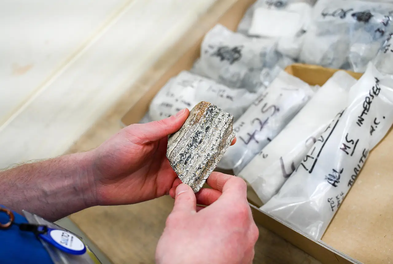
Newly released core could hold clues on potential mineral prospectivity in Perthshire
05/06/2026
A comprehensive collection of geological samples from the vicinity of a former mine in Scotland is now available to scientists for further research.
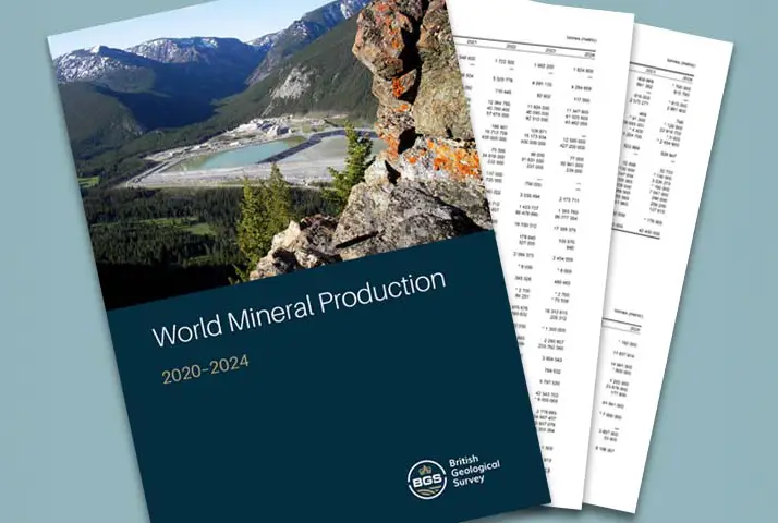
Latest data on world mineral production now available
25/05/2026
BGS has released the updated statistics on the global production of over 70 commodities between 2020 and 2024.

International science consortium to survey the health, economic value and social importance of Lake Victoria
22/05/2026
The project will replicate the 1927 survey to assess changes in the lake’s health, economic value and social importance.

New geological maps of Berwick-upon-Tweed to help future-proof natural water supply
20/05/2026
Scientists have mapped the geology under the town to better understand the groundwater system to inform decisions around abstraction.

BGS contributes to UN sand and sustainability report
19/05/2026
The new report highlights the impact of poor governance and unsustainable sand mining practices, calling on policymakers to take action.
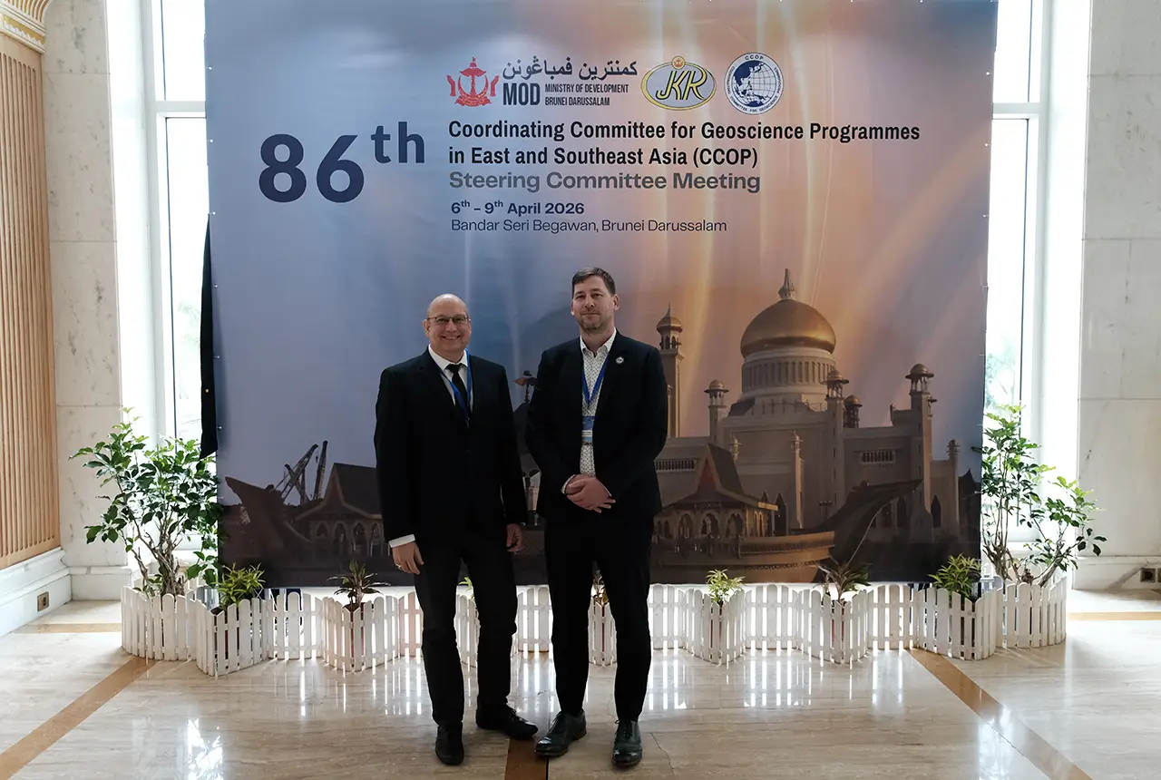
BGS engineering geologist elected to CCOP
29/04/2026
Marcus Dobbs has been elected as vice-chair of the advisory group for the Coordinating Committee for Geoscience Programmes in East and Southeast Asia.
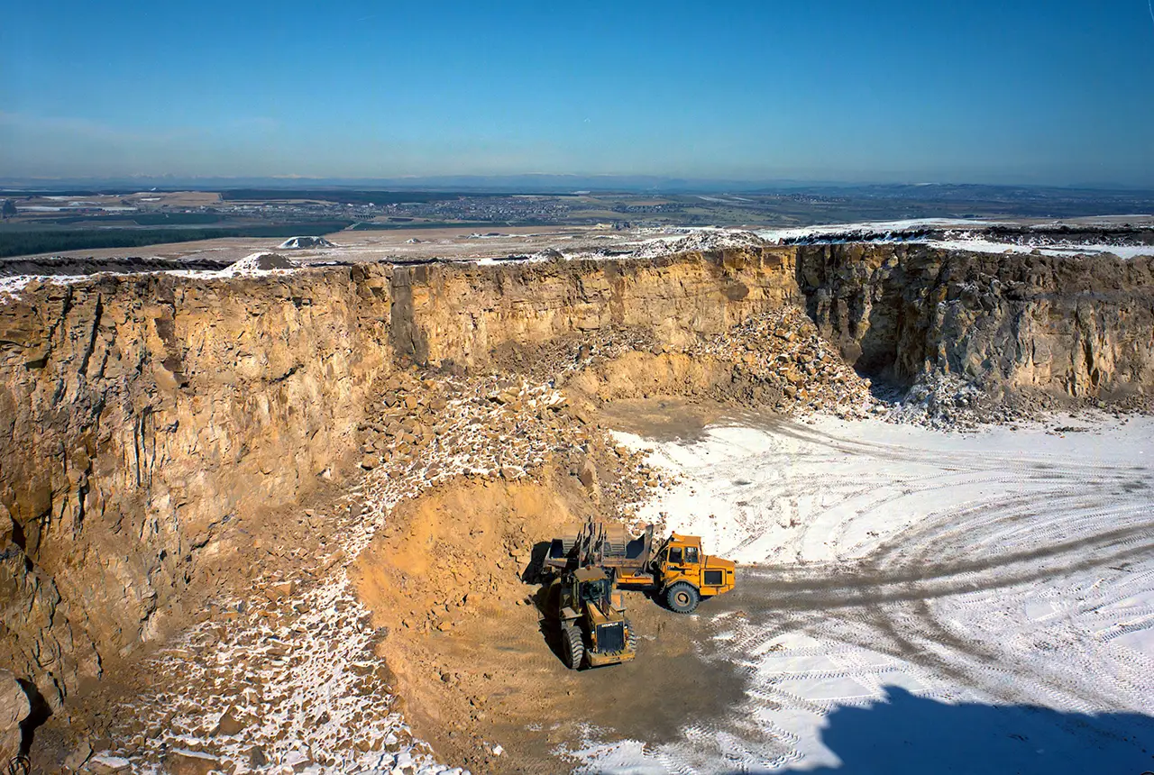
UK Minerals Yearbook 2025 now available
21/04/2026
The annual publication provides essential information about the production, consumption and trade of UK minerals up to 2025.

UK scientists unite for seabed mapping survey of the UK’s south-west coastline
15/04/2026
BGS geologists join research voyage, gathering crucial geological data to support offshore energy and infrastructure projects.

Isotopes and science: my student placement at BGS
08/04/2026
Industrial placements at BGS for undergraduate students give real-life experience of working in laboratories and learning different analytical techniques.

Updated geological assessment of the Southern North Sea set to underpin future offshore infrastructure development
25/03/2026
The first regional assessment for 30 years will support offshore marine and subsurface planning for the UK’s low-carbon energy infrastructure, including the 2030 target of 45 to 50 GW generated through offshore wind.

New research could help provide a more reliable water supply for millions in rural Africa
24/03/2026
A new BGS-led study has revealed crucial insights into the longstanding challenges affecting the reliability and performance of rural water supply infrastructure in sub-Saharan Africa.

Call for new members and Chair to join the NERC facilities steering committees
25/02/2026
New members are needed to join the committees over the next four years.