The Common Ground project
BGS Research
The Common Ground project aims to enhance the value of ground investigation (GI) data for the UK construction sector by developing a national-scale geotechnical data service that combines geotechnical data with geological knowledge.
Funded by the Government Office for Technology Transfer, the project addresses a major industry challenge: despite spending around £1.2 billion annually on GI, unforeseen ground conditions still cause delays and overspend, which is estimated to be 10 per cent of project costs or £120 million each year. Improving access to geotechnical data will help reduce risk, improve efficiency and deliver significant savings.

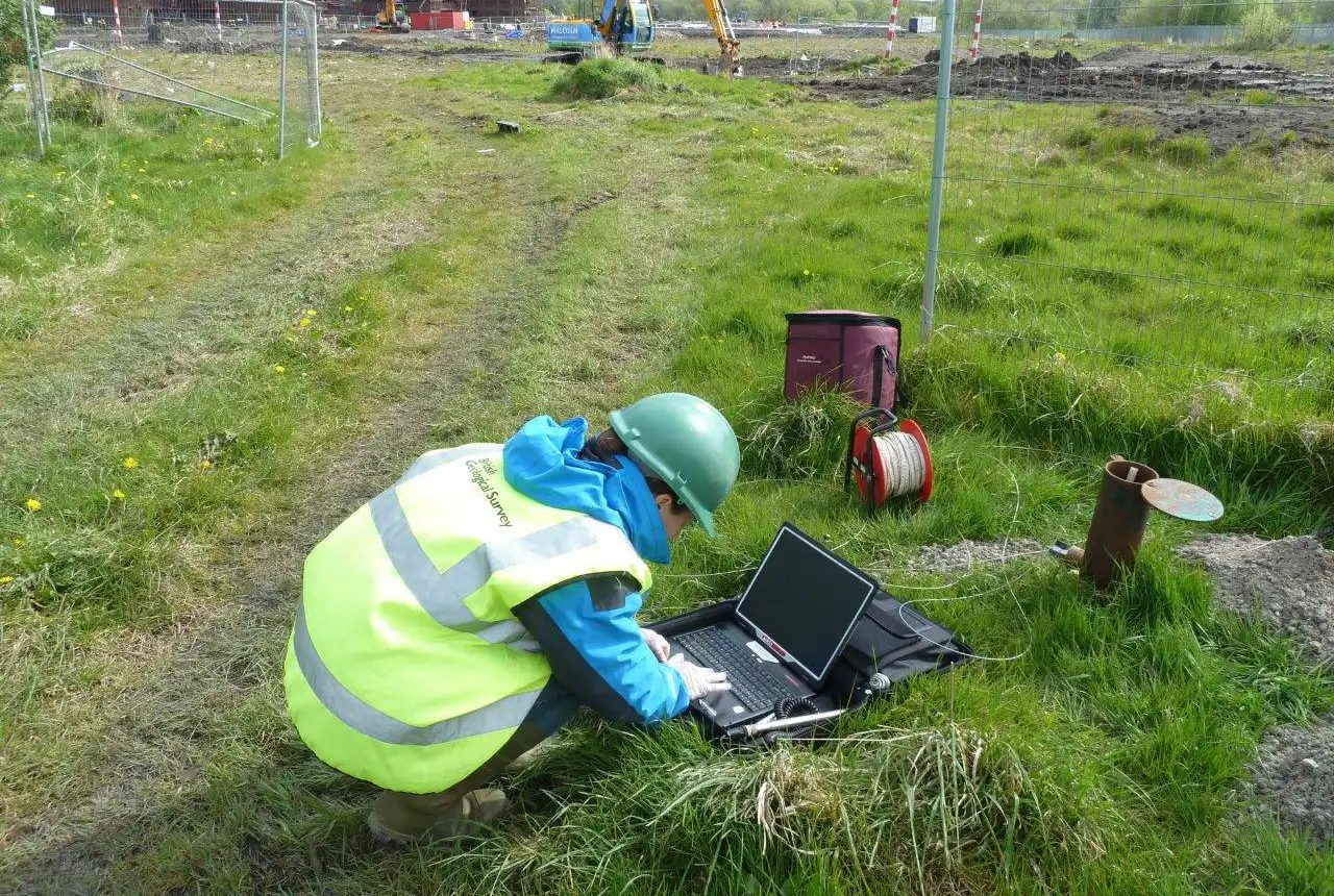
Shallow borehole drilling using a shell and auger rig. BGS © UKRI.
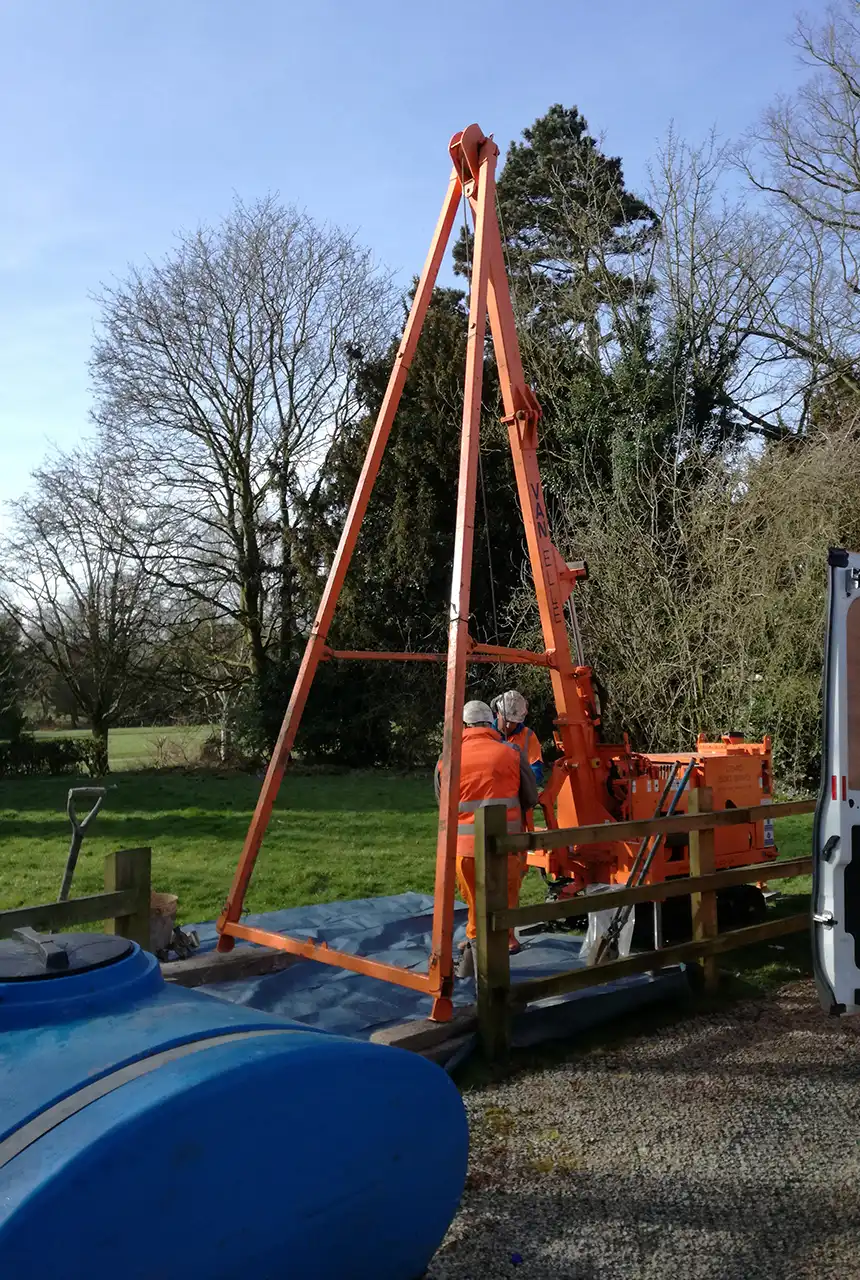
Shallow borehole drilling using the BGS Dando drilling rig. BGS © UKRI.
In partnership with Difference Engine, Phase 1 of the project focused on targeted market analysis and the development of a suite of pilot geotechnical data tools. Building on this success, follow‑on funding will now scale the pilot to a national data service. The next phase includes further market research and development of a go‑to‑market strategy to ensure we deliver an authoritative data service with the functionality that suits the end user.
Benefits identified through the initial market engagement include:
- pre-tender support for more accurate project planning
- better GI commissioning decisions, enabling robust business cases and financing
- targeted GI drilling and surveys, maximising investment and reducing environmental impact
- risk reduction, mitigating unforeseen ground conditions
- innovation opportunities, fostering secondary data products and partnerships
The knowledge asset underpinning this work — the BGS National Geotechnical Properties Database (NGPD) — contains data from approximately 200 000 boreholes, consolidated, validated and verified by BGS experts. This value-added resource will help transform how the UK construction sector manages ground risk.
The project builds on previous work such as:
- Project Iceberg
- DigToShare
- BIM for the Subsurface
- Construction Playbook (with the Infrastructure and Projects Authority)
If you are a user or producer of GI data and would like to be involved in the project please get in touch with the Common Ground team (commonground@bgs.ac.uk).
You may also be interested in

Urban geoscience
Providing solutions for urban land-use planning and sustainable development.

National geoscience
The National Geoscience programme is a forward-looking investment in UK geology that provides relevant, coherent and enriched geoscience knowledge for our stakeholders.
Engineering and Geotechnical Capability
Leading the development and application of field and laboratory infrastructure and long-term management of geophysical and geotechnical property data.
GeoIndex (onshore)
Search BGS datasets using GeoIndex, a map-based index of a wealth of information that we have collected or have obtained from other sources.
3D urban geology
Providing conceptual understanding of the subsurface below our cities to support planning and development, using 3D urban models.