Key information
Scale:
1:250 000Coverage:
UK and adjacent European watersAvailability:
FreeFormat:
GIS polygon data (ESRI, GeoPackage)Price:
Free for commercial, research and public use under the Open Government Licence. Please acknowledge the material.
Uses:
Regional-level useGet data
Free access
Our free data is available under the Open Government Licence. Please acknowledge reproduced BGS materials.
GIS data (Shapefile format)GIS data (GeoPackage format)View online (Offshore Geoindex)Web service (OGC WMS)Supporting documents
The 1:250 000-scale offshore geological maps are available digitally as two themes: offshore bedrock geology and seabed sediments.
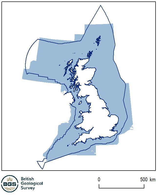

Coverage of the BGS offshore bedrock 250K dataset and the limits of the UK exclusive economic zone. BGS © UKRI – Contains OS data © Crown copyright 2020.
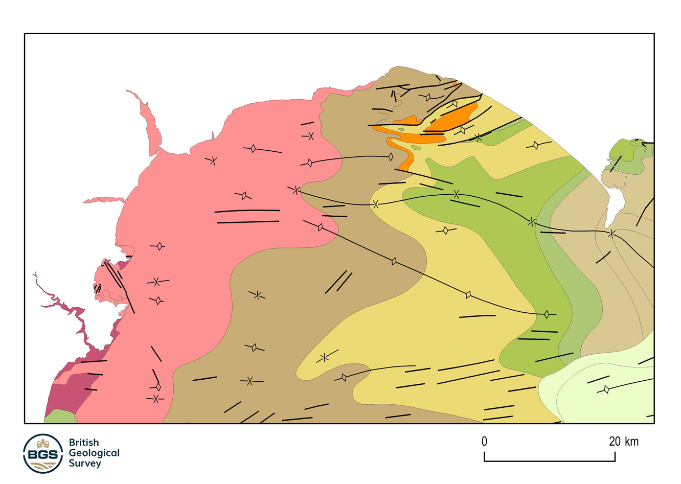
Example of the BGS offshore bedrock 250K dataset. BGS © UKRI.
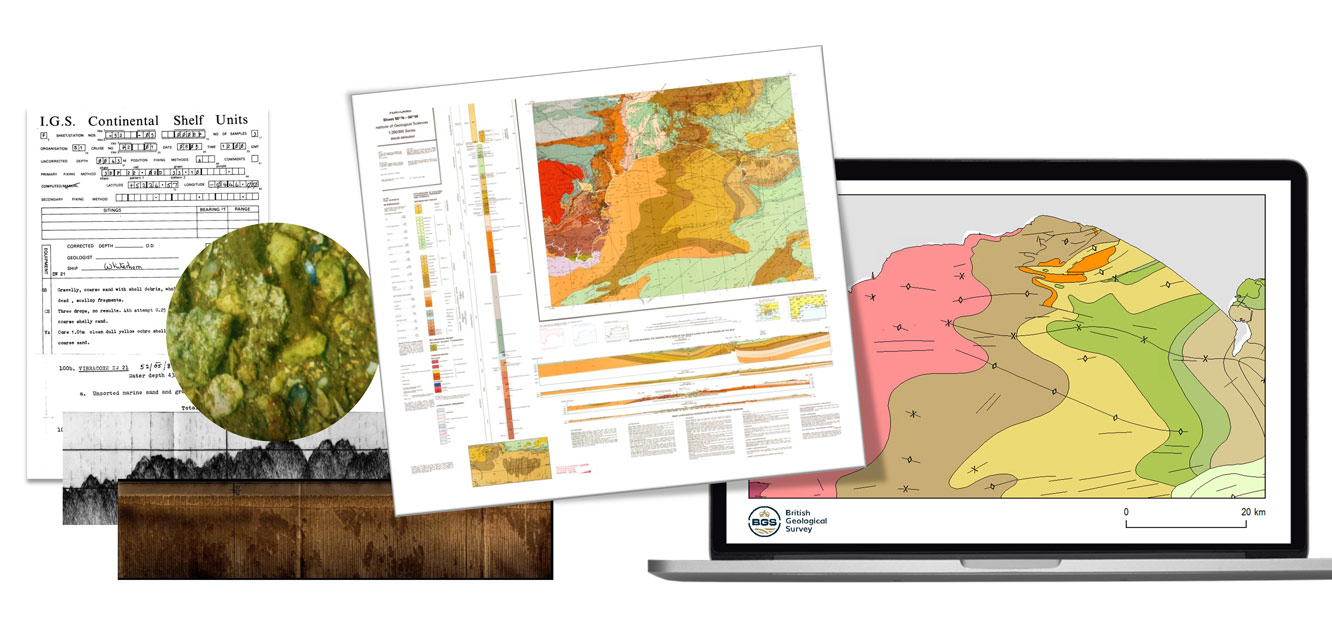
A visual summary of the development of the offshore bedrock 250K dataset, from the data to the published paper maps and the release of marine bedrock geospatial product. BGS © UKRI.
The overlying column of sea water imposes major limitations offshore that make it impossible to use normal, onshore, geological mapping techniques. However, other techniques, such as ship-board geophysical surveys, can be used that allow geological interpretations using evidence not normally available onshore.
The offshore bedrock geology theme is essentially the same as that mapped onshore, but it is usually much less detailed. Onshore, a lithostratigraphical nomenclature is used with rocks routinely mapped at formation, member and bed level. Offshore, this is often impossible and rocks are commonly referred to by age. Where it is possible, mapping is usually only to group or formation level at best and even these may not be differentiated into individual units, but shown only as part of a package of units.
