Key information
Scale:
1:50 000Coverage:
Great BritainAvailability:
LicensedFormat:
GIS polygon data (ESRI, MapInfo, others available by request)Price:
£0.35 per km2. Subject to number of users, licence fee and data preparation fee.
Uses:
Local-level to regional-level useGet Data
Free access
Paid access
Supporting documents
In response to the need for more information on groundwater flooding, BGS has produced the first national dataset on the susceptibility of groundwater flooding, covering England, Wales and Scotland. Based on geological and hydrogeological information, the digital data can be used to identify areas where geological conditions could enable groundwater flooding to occur and where groundwater may come close to the ground surface.
Groundwater flooding is the emergence of groundwater at the ground surface. It can occur in a variety of geological settings including valleys in areas underlain by chalk, and in river valleys with thick deposits of alluvium and river gravels. Groundwater flooding happens in response to a combination of already high groundwater levels (usually during mid or late winter) and intense or unusually lengthy storm events. Groundwater flooding often lasts much longer than flooding caused by a river overflowing its banks. It may last many months and can cause significant social and economic disruption to the affected areas.
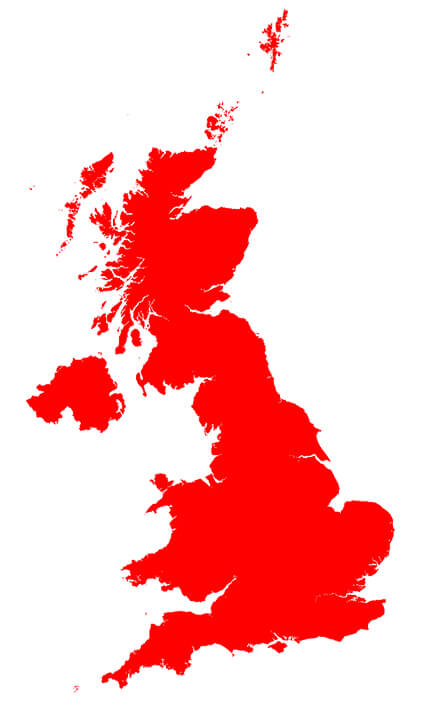

BGS groundwater flooding coverage. BGS © UKRI – Contains OS data © Crown copyright 2020
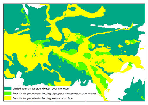
BGS groundwater flooding sample. BGS © UKRI
Download BGS Groundwater flooding sample maps
You may also be interested in:

Hydrogeology 625K digital hydrogeological map of the UK
The hydrogeological map indicates aquifer potential in generalised term.
Groundwater vulnerability data
Our groundwater vulnerability maps provide an assessment of the vulnerability of groundwater in overlying superficial rocks and those that comprise the underlying bedrock.