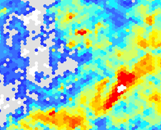

BGS superficial deposit thickness model 1 km hex grid. BGS © UKRI.
Superficial deposit thickness 1 km hex grid
- 1 km hex grid (approx. 1:1 000 000)
- Great Britain
- Open
The superficial deposit thickness model 1 km hex grid shows the variation of the thickness of superficial (Quaternary aThe BGS superficial thickness hex grid map shows the variation of the thickness of superficial deposits across Great Britain.ge) deposits across Great Britain.
Supporting documents
Key information
- Scale:
- 1 km hex grid (approx. 1:1 000 000)
- Coverage:
- Great Britain
- Availability:
- Open
- Price:
Free for commercial, research and public use under the Open Government Licence. Please acknowledge the material
- Format:
- GIS polygon data (ESRI)
- Uses:
- Regional-level use
- Themes:
- Geology, Geoscience information
Superficial deposits are the youngest geological formations (less than 2.6 million years old). They are largely unconsolidated and cover much of the bedrock of Britain. They generally include sediments deposited during the Pleistocene (Quaternary) glacial episodes, subsequent Holocene rivers, and coastal systems; superficial deposits also include modern, artificial deposits such as mining spoil and road embankments.
The data is presented as a cellular vector map of interlocking hexagons (side length 1 km; area approximately 2.6 km2) covering the landmass of Great Britain as a regular grid. Each hexagon is attributed with a series of statistics about the thickness of the underlying Quaternary units; additional information relating to the thickness models and the coverage of underpinning data is provided.
The data was derived by spatially summarising the information originally created for the high-resolution superficial thickness model. This data can only be viewed within a GIS as a vector layer of information and is supplied in several common GIS formats.
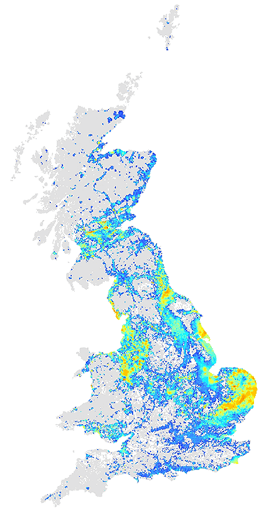
BGS superficial deposit thickness model 1 km hex grid coverage. BGS © UKRI – Contains OS data © Crown copyright 2020.
You may also be interested in

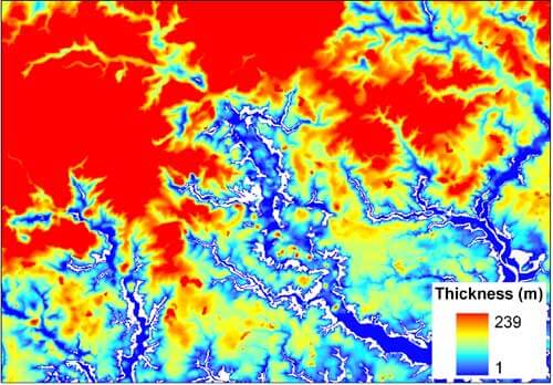
Superficial deposit thickness model
The superficial thickness model shows the depth of the bedrock surface below unconsolidated deposits