Coal resources for new technologies
- 1:1 000 000
- UK
- Open
A series of maps showing the potential of the UK onshore coal resources for exploitation by conventional and new technologies.
Supporting documents:
Key information
- Scale:
- 1:1 000 000
- Coverage:
- UK
- Availability:
- Open
- Price:
Free for commercial, research and public use under the Open Government Licence. Please acknowledge the material
- Format:
- GIS polygon data (ESRI, MapInfo)
- Uses:
- Regional- to national-level use
- Themes:
- Energy, Mining and minerals
This legacy dataset contains a series of maps showing the potential of the UK onshore coal resources for exploitation by both conventional (mining) and new technologies. The data available here is a facsmilie of the maps that were originally published in 2004.
The mining technologies shown on the maps include:
- underground and opencast mining
- coal mine methane (CMM)
- abandoned mine methane (AMM)
The new technologies shown on the maps include:
- underground coal gasification (UCG)
- virgin coalbed methane (VCBM)
- coal seam-related carbon dioxide (CO2) sequestration
These maps are the result of the ‘Study of the UK coal resource for new exploitation technologies’ project.
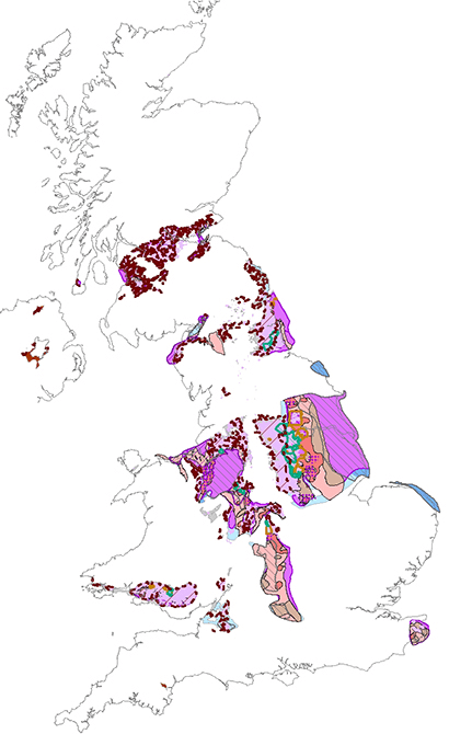

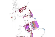
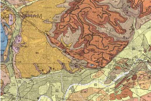
Coal resources for new technologies coverage. BGS © UKRI – Contains OS data © Crown copyright 2020.
You may also be interested in
Mining hazard (not including coal) coverage
The mining hazard dataset provides essential information for planners and developers building in areas of former shallow underground mine workings.
Mining hazard (not including coal) 1 km hex grid
This dataset provides a generalised overview of the likelihood for mining to have occurred.
BGS Geology
The BGS Geology datasets are digital geological maps of Great Britain based on the different series of published BGS geological maps.