Land-use planning and housing
Science briefing paper
Our mission
The subsurface underpins a range of societal services including water security, flood resilience, land stability, healthy soil and water, mineral supply, and energy security and net zero. BGS provides independent and authoritative geoscience to a range of end users involved in land-use planning and housing development through collaborative research, open data, licensed data, web viewers and decision support tools.
Who we work with
- UK Government departments
- Local government
- Local authorities
- Environment Agency
- Geoenvironmental consultants
- Universities and research
organisations
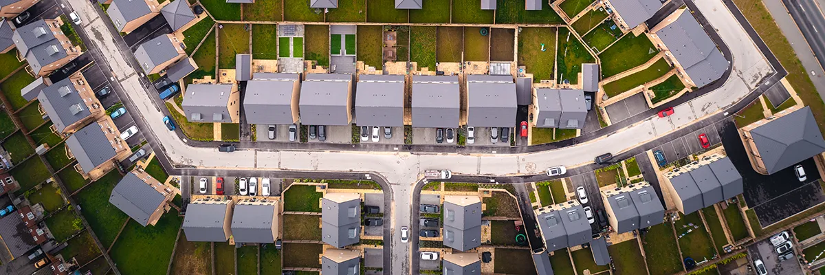
The foundations of towns and cities
Helping plan for the right level of housing is a key part of the National Planning Policy Framework1, to which the UK Government has assigned a target of 1.5 million new dwellings by 2028 (over 300 000 per year). Quality homes rely on the ground for building foundations, clean and healthy soil and water, adequate drainage, long-term ground stability and resilience to societally important challenges such as climate change.
The challenge
Central to housing policy is the need to build on previously developed land, also referred to as ‘brownfield’. Often these sites are degraded or have become derelict; they can be contaminated and suffer from a range of land-stability challenges. The Government wants brownfield sites to be developed in preference over other sites for new homes. This means that sites that haven’t been built on before can be conserved until they are absolutely needed.
A recent addition to Government policy is the ‘grey belt’; green belt land that isn’t fulfilling its purpose. The green belt designation protects against mass merging of urban settlements. Irrespective of colour typing land use, there is a need to understand the role the ground plays in making sure that development is safe, suitable for use and sustainable.
The solutions
- Access to high-quality data that describe the ground and support informed decision making
- Knowledge and understanding of the role geology and soils play in the sustainable development of towns and cities
- Co-designed digital tools that aid land-use planning and housing policy formulation and implementation
It is estimated that over 1.2 million new homes could be built on brownfield land in England alone.
CPRE, 2022
While often ‘out of sight, out of mind’, the subsurface is a natural habitat, a source of critical resources and a space for the infrastructure that underpins modern economies.
GO-Science, 2024
In England, 325 000 properties are faced with more than a 60 per cent chance of being affected by surface water flooding in the next 30 years, and 500 000 are in areas that have a similar chance of being affected in the next 100 years.
National Infrastructure Commission, 2022
Case studies
Land contamination and land stability
Some local authorities and regulators lack resources to maintain data and an up-to-date understanding of the ground risks arising from contamination or land stability2. This means that brownfield sites potentially available and suitable for redevelopment are left vacant and, in some cases, derelict for long periods of time3.
To help understand the technical and economic viability of brownfield sites for development, BGS worked with Greater Manchester Combined Authority and Gateshead Council to co-develop an award-winning digital tool called the Brownfield Ground Risk Calculator to help bring forward a pipeline of housing sites. The tool is a webbased geographical information system (web GIS) that provides 0.25 hectare-scale insights into ground risk for contamination and land stability, as well as remediation cost estimates for early-stage risk assessments. Groundscreen, an enhanced version of the tool, is commercially available for the whole of England and Wales.
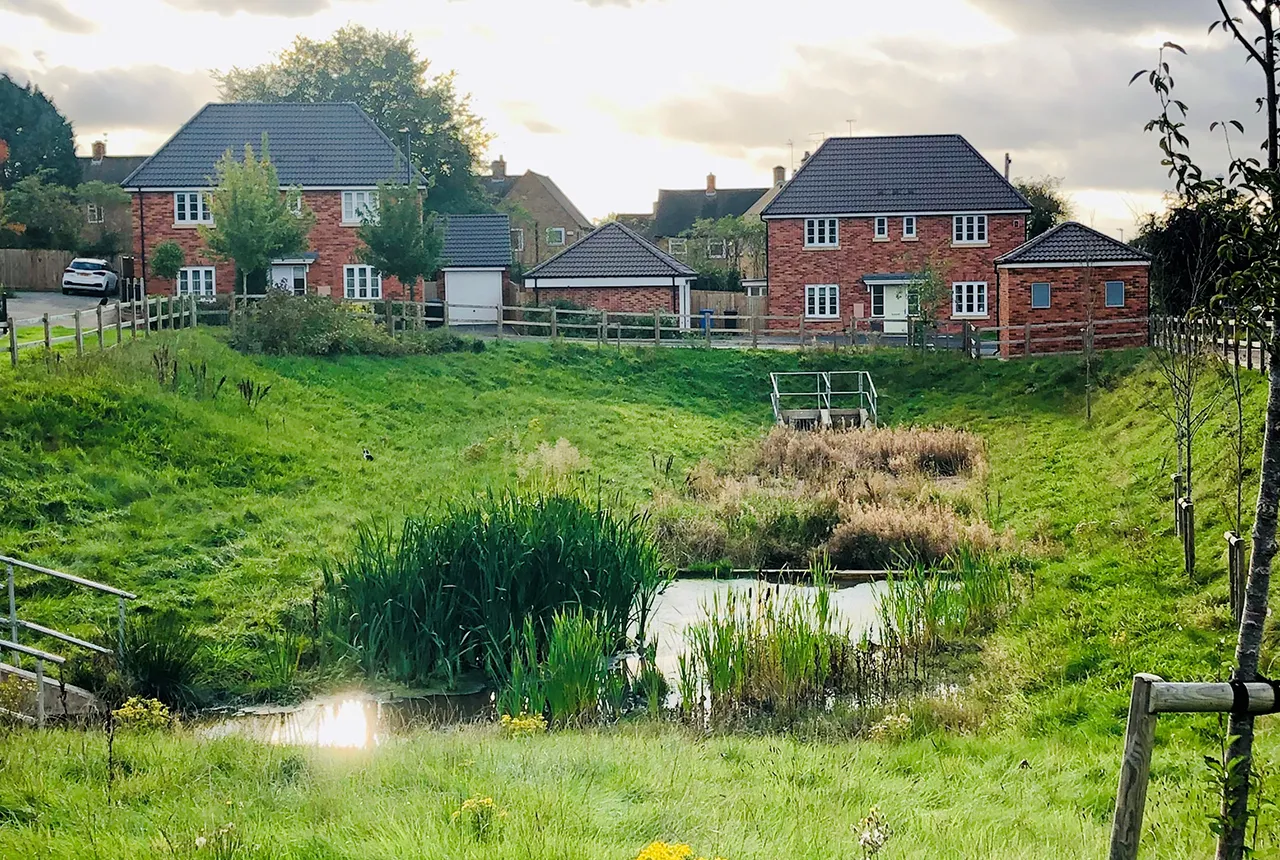
Surface water flooding
Excess surface water needs somewhere to go during and after high rainfall and other extreme weather events. The subsurface provides a key part of the solution through infiltration via the soil to groundwater and rivers. The incorporation of sustainable drainage systems (SuDS) into new developments is now mandatory. Infiltration SuDS reduce pressures on sewerage systems, promote biodiversity and reduce rapid surface water run-off, which causes flooding.
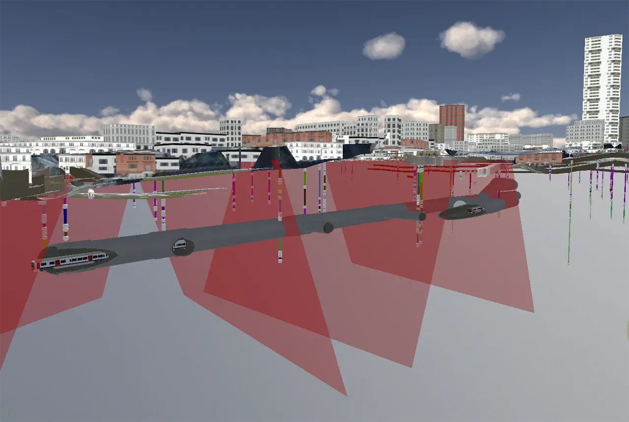
BGS has been working on understanding and promoting mthe role of the subsurface infiltration SuDS for many years. Its national data product, the Infiltration SuDS map, shows where surface water is likely to drain well from surface to groundwater and rivers4. The tool accounts for a range of constraints, drainage properties, natural hazards and pollutant attenuation factors.

SuDs. BGS © UKRI.