

Resilience to geological hazards
Science briefing papers

Our mission
We monitor and study natural hazards — including landslides, earthquakes, volcanic systems and space weather — using cutting-edge sensing technologies, from satellite imagery to geophysical imaging of the Earth’s interior. Through long-term monitoring, we analyse risk by determining the potential impacts of multiple hazards on communities, critical infrastructure, the environment, and the economy. Our work strengthens societal resilience to Earth hazards in a changing climate.
Who we work with
- UK Government departments
- Local government
- International organisations
- General public
- Universities
- Commercial and charitable organisations
Observation and monitoring
BGS operates national and international networks of observatories that conduct seismic and geomagnetic measurements. Our seismic network supports efforts to build resilience against earthquake hazards, which in the UK pose risks to critical infrastructure such as dams and nuclear power stations. In partnership with the Met Office, our observations of the Earth’s magnetic field, in partnership with the Met Office, enable the forecasting of severe space weather events that have the potential to cause substantial damage to the National Grid and widespread power outages.
We deliver science into decision making through collaborations such as the Natural Hazards Partnership (NHP) and International Natural Hazards Forward Look. In 2025, BGS was commissioned by FCDO Research and Evidence Division (under the newly created Natural Hazards Science Hub) to provide timely and actionable scientific advice related to international geohazards (such as earthquakes and volcanoes) in emergencies through knowledge products underpinned by research. We work in partnership with the UK Centre for Observation and Modelling of Earthquakes, Volcanos and Technics (COMET) a world leading research centre providing long term science, data and advice.
BGS is also developing artificial intelligence (AI) tools to forecast earthquakes and automatically detect landslides, subsidence and coastal erosion. Our AI landslide tracker was used in response to the April 2024 Taiwan earthquake to rapidly analyse optical satellite imagery and indicate where landslides were triggered. The tracker was able to identify 7090 landslide events across an area of 75 km2, within about three hours of the imagery being acquired.
| BGS contributes to international efforts to enhance understanding of geohazards, such as the UN Humanitarian Information Profiles. | Shrink–swell in clay soils is a major geohazard in the UK and costs the economy an estimated £400 million a year1 through damage to housing and infrastructure. | Over the past 13 years, the Natural Hazards Partnership has brought together 22 government departments, public bodies, research establishments and third- sector organisations to provide collaborative, interdisciplinary expertise and advice to policy and decision makers. |
Hazard characterisation and assessment
BGS was asked to develop an integrated approach for understanding and monitoring active landsliding in Cyprus. Our work informed local authorities of the hazard and risk posed to over 300 properties and enabled the development of structural and non-structural mitigation measures. The work involved gaining a geological understanding of the landslides and the geotechnical properties, including:
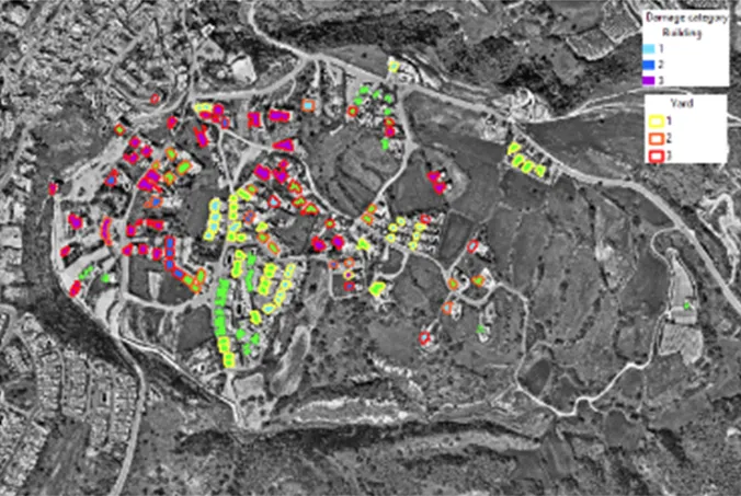

Building damage assessment identifying what was affected.
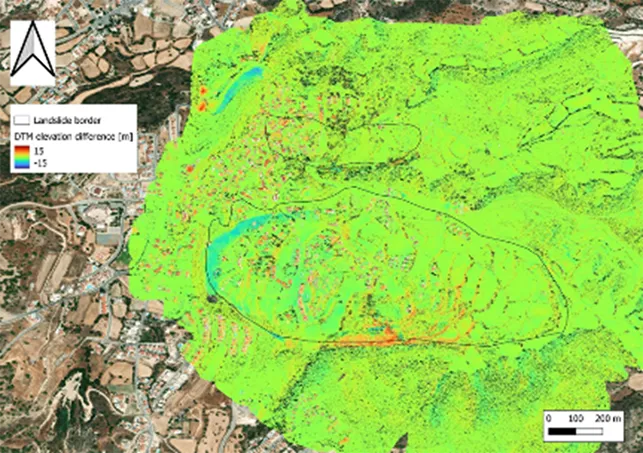
Deriving rates of motion using high resolution imagery and satellite radar.
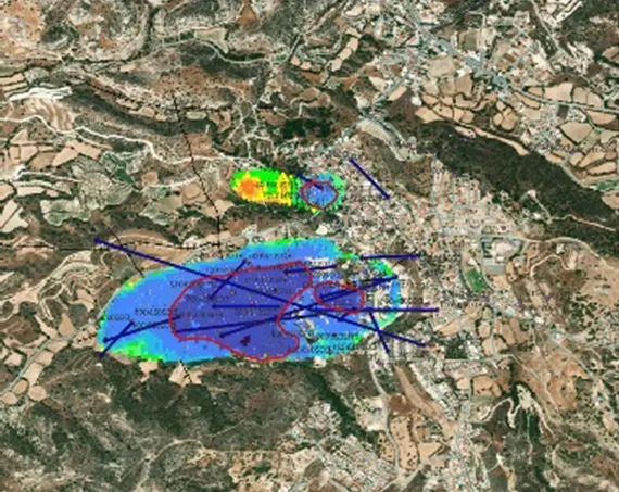
Geophysical monitoring of the shallow subsurface indicating faults and the structure of the landslide.
BGS has developed novel techniques through impact chain analysis to understand compounding and cascading multi-hazard events and their potential impacts. Such analyses have been completed for the south-east of the UK to better understand the effects of the 2018 and 2022 sustained high heat events, which led to heatwaves, droughts and wildfires in the region.
Risk reduction and risk management
The BGS GeoClimate national datasets show the potential change in subsidence due to changes in climate. They have been developed by combining long-term UK Climate Projection scenarios for rainfall and temperature changes with the geotechnical properties of the ground, to identify areas projected to experience the largest increases in susceptibility to subsidence over the next century.
We build upon hazard susceptibility by integrating exposure and vulnerability to better understand the risk posed by a hazard. The tools developed are used by stakeholders to understand risk relevant to their needs; the Philippine Institute of Volcanology and Seismology has used a BGS developed tool to understand the multi-hazard (flooding and liquefaction) risk in Luzon.
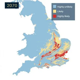
GeoClimate UKCP18 2070 projection showing potential change in shrink-swell subsidence susceptibility due to changes in climate. BGS © UKRI.
View our other science briefing notes
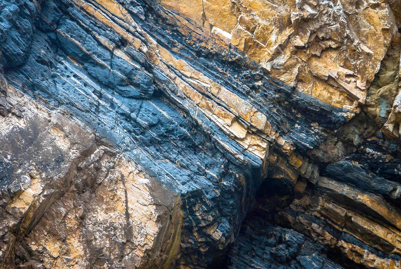
The subsurface: our hidden asset
The British Geological Survey (BGS), part of UK Research and Innovation (UKRI), is the UK’s primary provider of authoritative geological and geoscience data and information.
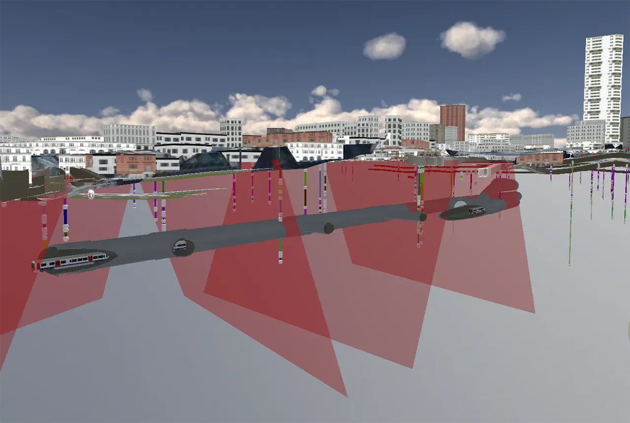
Construction and infrastructure
BGS is the national custodian of geological data and works with industry and the UK Government to unlock the value of UK ground investigation data, worth an estimated £1.2 billion a year to the UK economy. Our data products and bespoke 3D geological services de-risk infrastructure development.

Energy transition
Our research on geothermal energy, carbon capture and storage, energy storage and geological disposal supports the energy transition.
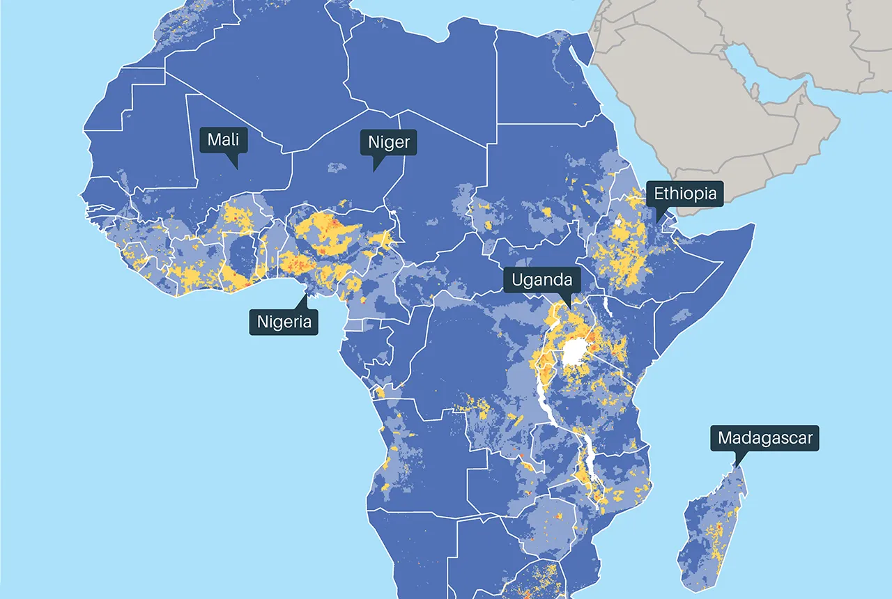
Water security
BGS research measures, monitors and maps groundwater. We examine its response to varying pressures and how it can be sustainably developed and managed, both in the UK and globally. Better understanding increases UK water supply security and contributes to increased global water security.
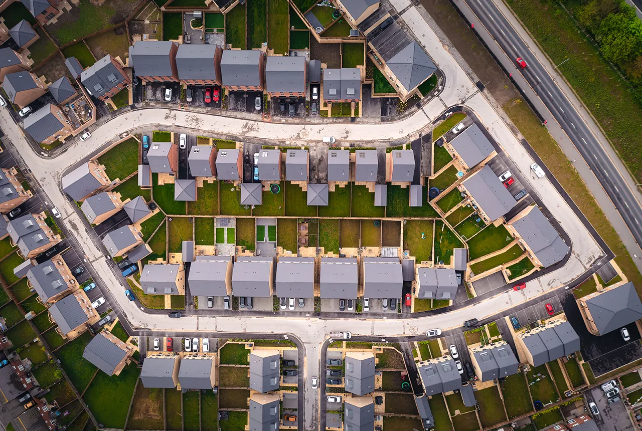
Land-use planning and housing
BGS provides independent and authoritative geoscience to a range of end users involved in land-use planning and housing development through collaborative research, open data, licensed data, web viewers and decision support tools.