Multi-hazards and resilience
BGS Research
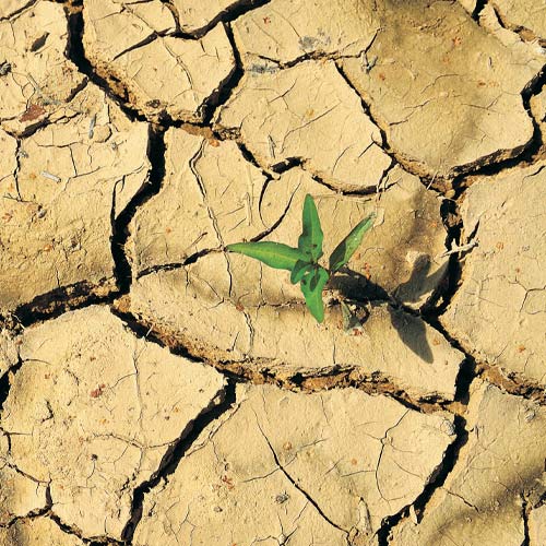
Natural hazardous processes have significant effects on economic growth, the built environment, lives and livelihoods. Risks and impacts of disasters are particularly severe in developing countries and are likely to be exacerbated by climate change.
Our work with partners worldwide to enhance understanding of hazards, exposure, vulnerability and risk will ensure our science is usable, useful and used.
- Single hazard characterisation: improving our monitoring, characterisation, analysis and modelling of single hazard processes, such as rockfalls or earthquakes
- Multi-hazard characterisation and cascades: improving our monitoring, characterisation, analysis and modelling of the relationships between hazards, such as those between earthquakes and landslides
- Impacts, vulnerability and exposure: characterising the potential impacts of a hazard or multi-hazards on populations, societies and their assets.
- Forecasting: supporting the management of risks by governments by rapidly harvesting and analysing near
real-time data to provide information about a hazardous or multi-hazardous event. - Hazard and risk communication: working with risk-affected communities, particularly internationally, and tailoring science to meet their needs, improving the understanding of societies at risk and effecting action or behavioural change.
- Event response: providing responsive services, products or advice to decision makers such as governments before, during and after hazardous events.
- Resilience and recovery: working with partners to reduce risks, support redevelopment and identify ways to use the reconstruction process to improve a community’s resilience following a hazardous event.
- Data acquisition: collecting and managing data from the monitoring of hazards or multi-hazard events, their processes and impacts.
- Uncertainty: underpinning effective decision making by gaining a sound understanding of uncertainty in natural-hazard risk assessment.
Find out more about our research
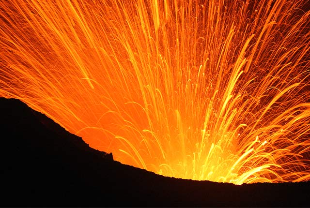
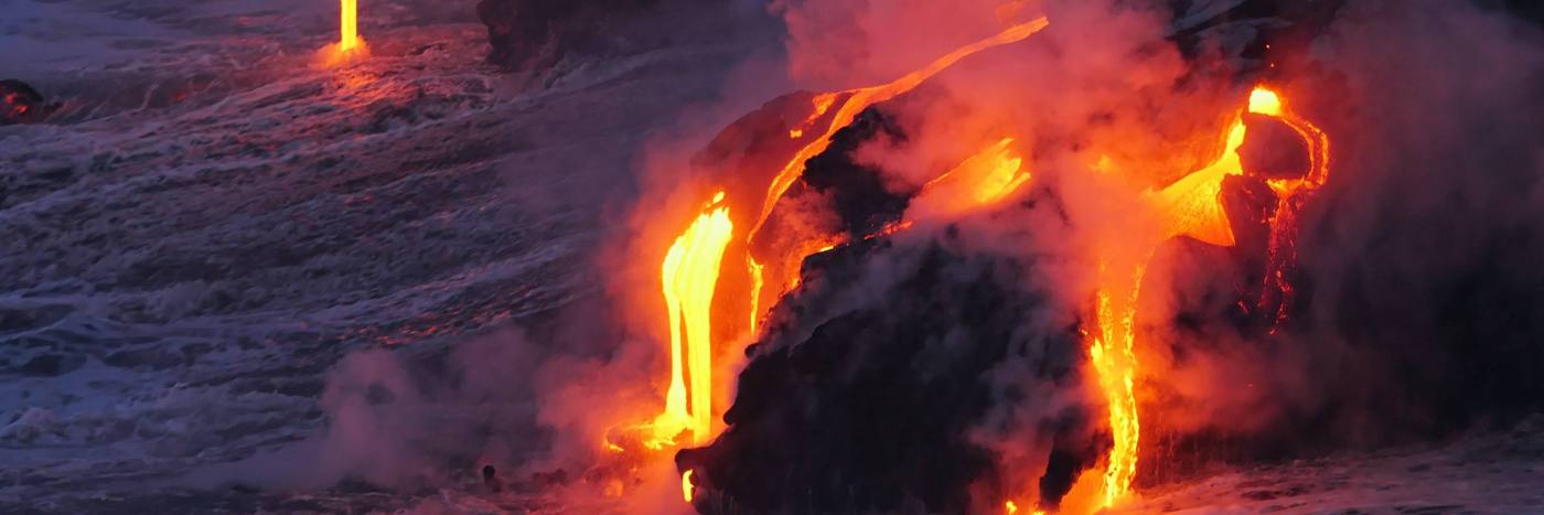
Volcanology
Our scientists lead research projects and work in partnerships around the world to improve our understanding of volcanic processes, hazards and risks.
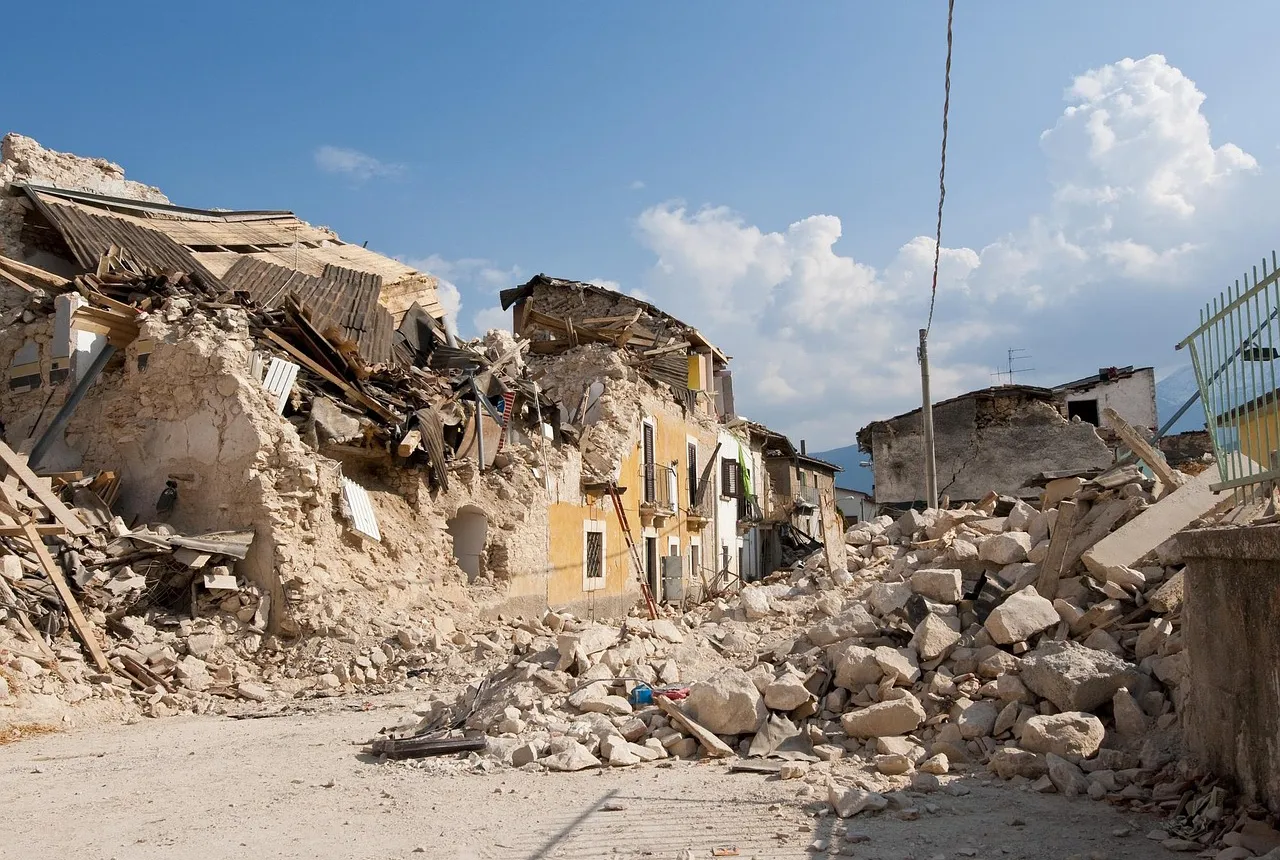
Earthquakes and seismology research
We are measuring, recording and analysing ground motions from earthquakes and other seismic events across the UK and overseas.

Geomagnetism
Measuring, recording and interpreting variations in the Earth’s magnetic field including those caused by space weather
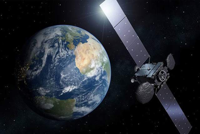
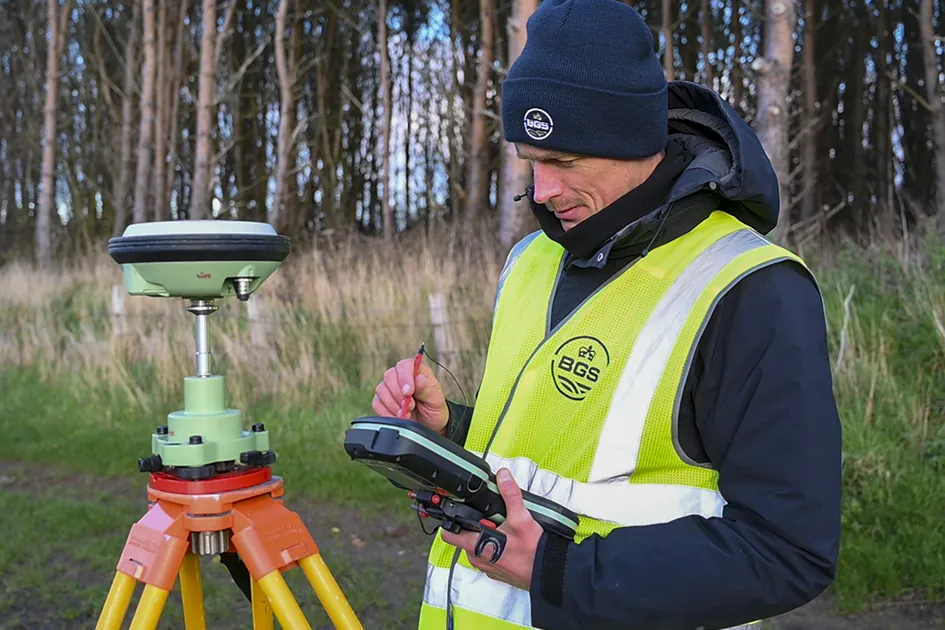
Geodesy and Earth observation
Developing and using innovative Earth observation techniques to characterise and monitor Earth processes that affect lives and livelihoods.
Shallow geophysics
Creating and using leading-edge technologies such as geophysical tomography to visualise the shallow subsurface.
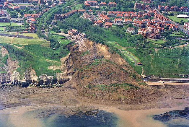
Landslides
Building resilience both in the UK and internationally to landslides and carrying out many aspects of landslide research.
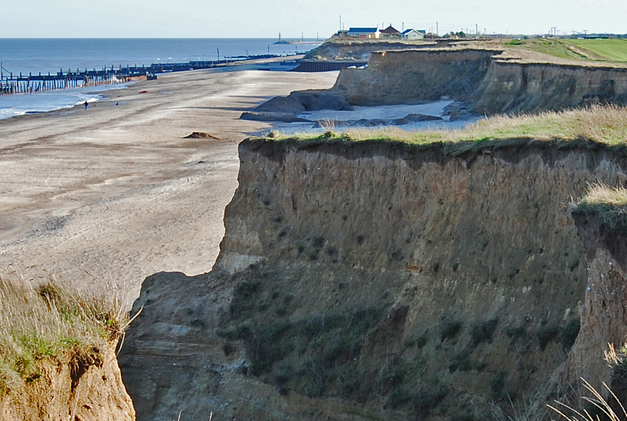
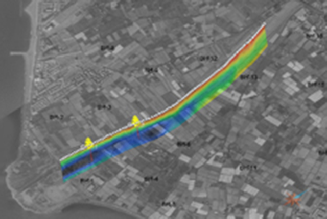
Coasts and estuaries geohazards
Providing independent and expert geoscientific tools and advice to assess different adaptation options to coastal flooding and erosion.
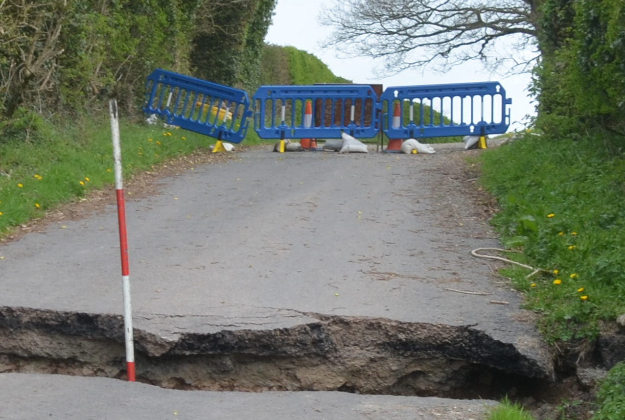
Shallow geohazards
Measuring, recording and analysing near-surface geological hazards including landslides, sinkholes and discontinuities.
Our facilities
Engineering and Geotechnical Capability
Leading the development and application of field and laboratory infrastructure and long-term management of geophysical and geotechnical property data.
Centre for the Observation and Modelling of Earthquakes, volcanoes and Tectonics (COMET)
Analysing satellite measurements alongside ground-based observations and geophysical models to study earthquakes and volcanoes.
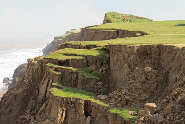
Aldbrough Coastal Landslide Observatory
Monitoring and modelling landslide activity at BGS’s coastal landslide observatory at Aldbrough, on the East Riding of Yorkshire coast.
Hollin Hill Landslide Observatory
Accurately monitoring and eventually predicting landslide movement through scientific research.
Our core challenge areas
Need more information?
Related news
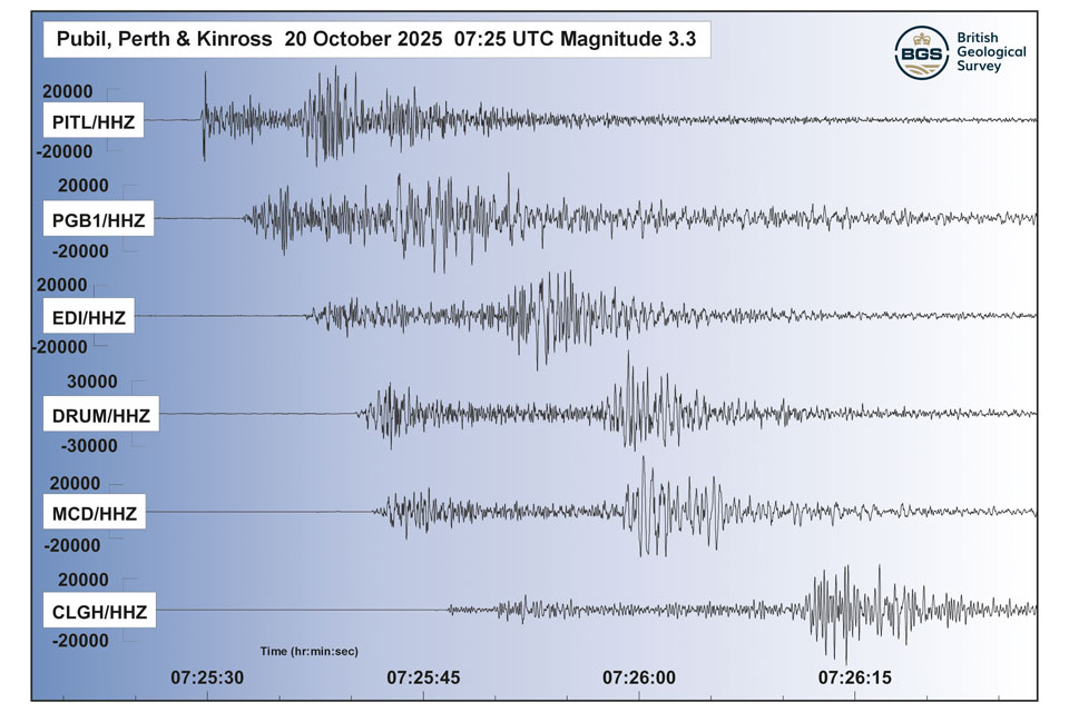
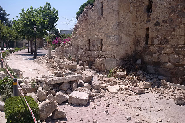
Perth and Kinross tops the UK’s earthquake activity charts for 2025
29/12/2025
Seismologists at BGS have published data on the number of seismic events over the past 12 months with over 300 earthquakes recorded.

Hole-y c*@p! How bat excrement is sculpting Borneo’s hidden caves
23/12/2025
BGS researchers have delved into Borneo’s underworld to learn more about how guano deposited by bats and cave-dwelling birds is shaping the subsurface.

BGS awarded funding to support Malaysia’s climate resilience plan
17/12/2025
The project, funded by the Foreign, Commonwealth & Development Office, will focus on minimising economic and social impacts from rainfall-induced landslides.
‘Three norths’ set to leave England and not return for hundreds of years
12/12/2025
The historic alignment of true, magnetic, and grid north is set to leave England, three years after they combined in the country for the first time since records began.
New research shows artificial intelligence earthquake tools forecast aftershock risk in seconds
25/11/2025
Researchers from BGS and the universities of Edinburgh and Padua created the forecasting tools, which were trained on real earthquakes around the world.
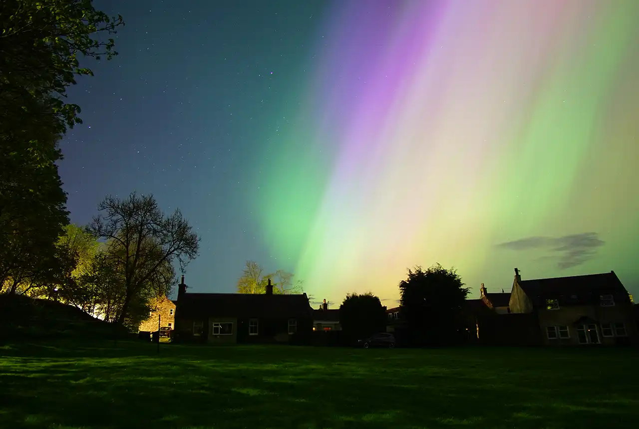
UK braced for what could be the largest solar storm in over two decades
12/11/2025
Intense geomagnetic activity could disrupt technology such as communication systems, global positioning systems and satellite orbits.

First distributed acoustic sensing survey completed at UK Geoenergy Observatory
12/11/2025
New research at the Cheshire Observatory has shown the potential for mapping thermal changes in the subsurface using sound waves.
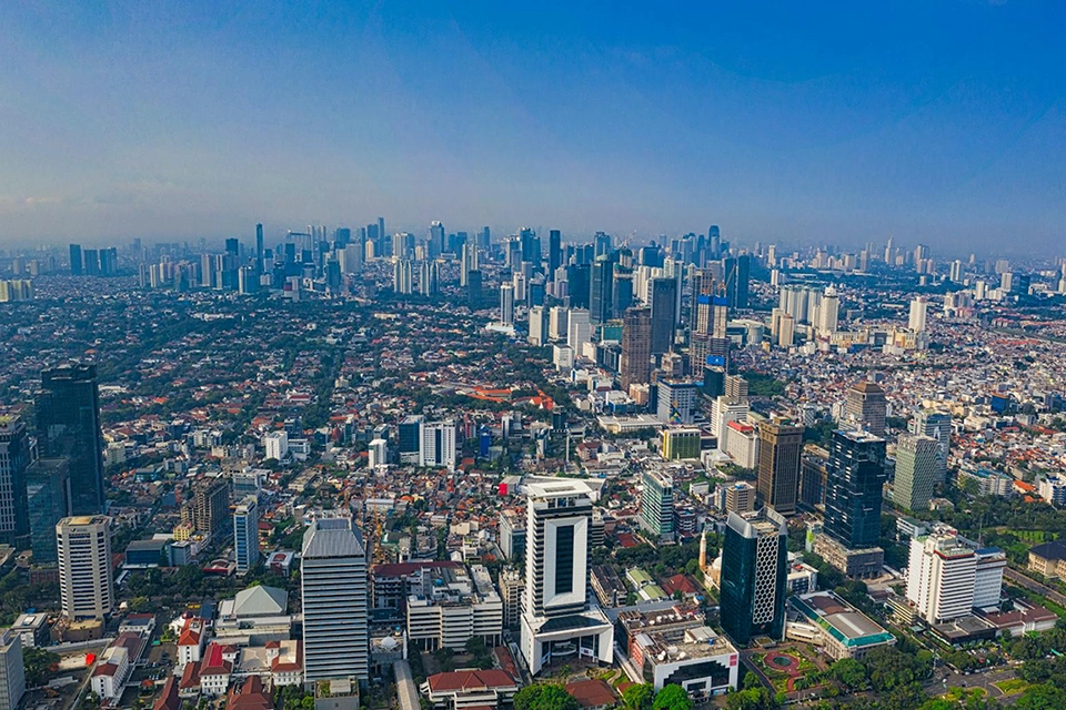
New research highlights significant earthquake potential in Indonesia’s capital city
04/11/2025
Research reveals that a fault cutting through the subsurface of Jakarta could generate a damaging earthquake of high magnitude.

World Cities Day: the geological story of our cities
31/10/2025
Understanding the rocks that underlie our towns and cities, the risks they can present and how they influence urban planning and redevelopment.
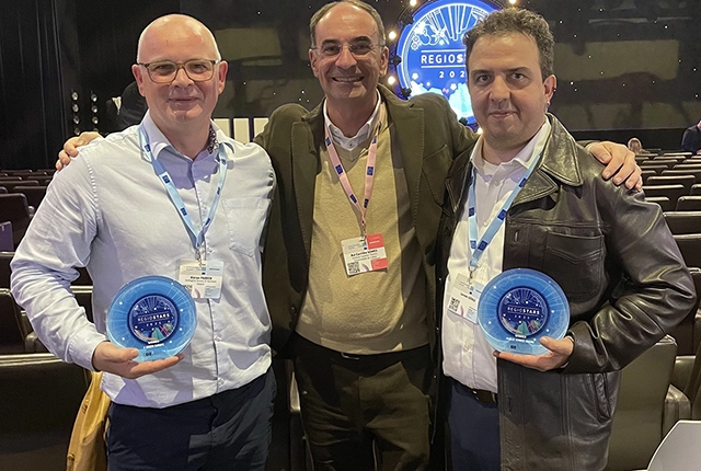
GSNI project wins multiple awards at RegioStars event
17/10/2025
The AGEO project enjoyed a double success at the RegioStars awards, hosted at the European Commission in Brussels.

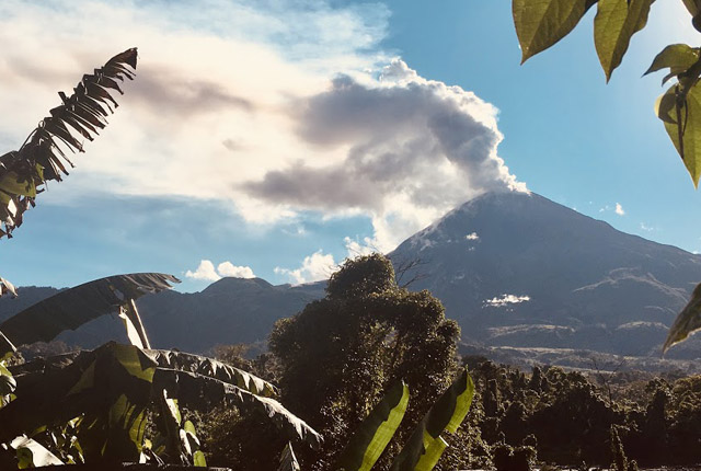
Fieldwork on Volcán de Fuego
13/10/2025
Understanding how one of the world’s most active volcanoes builds up material, and how they collapse to feed hot flows
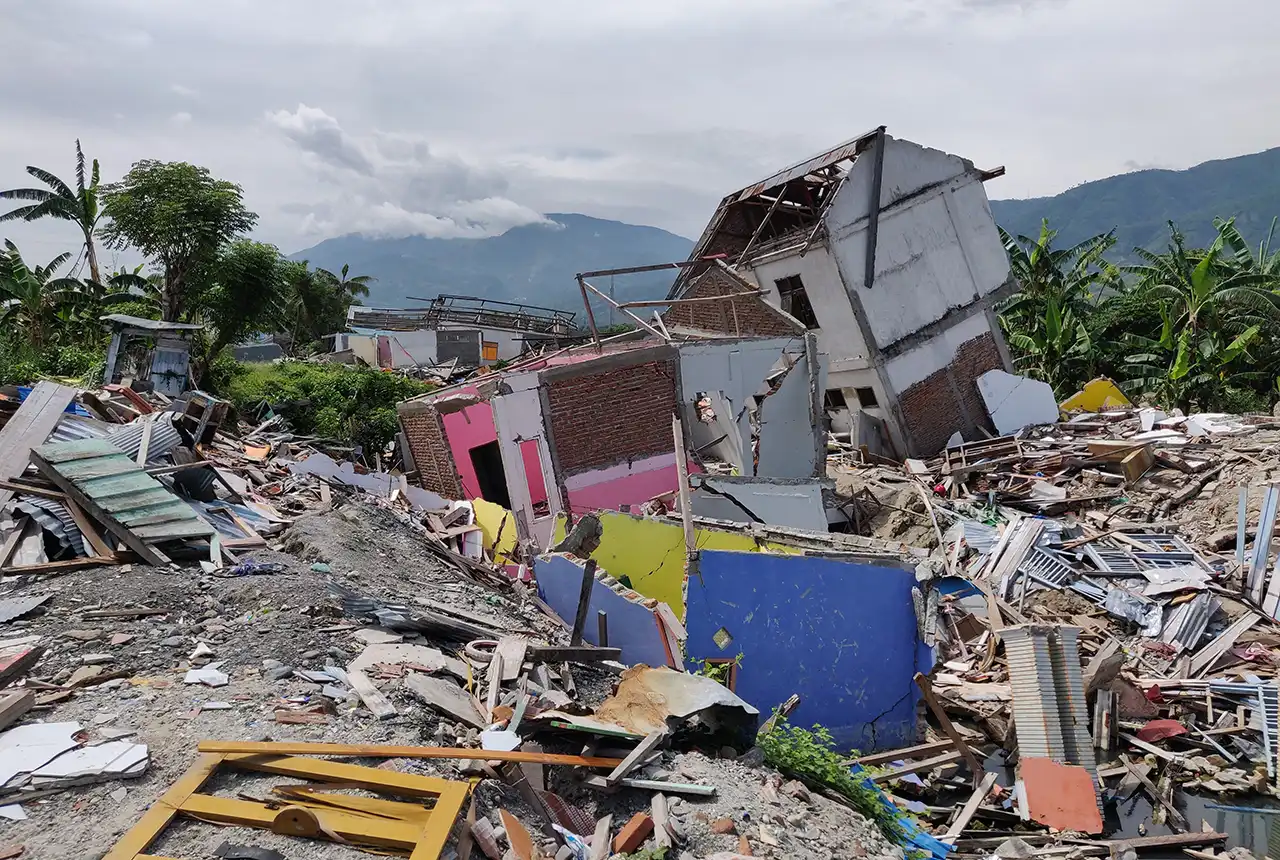
New report sets pathway to reduce the impacts of geohazards in one of the world’s most hazard-prone nations
30/09/2025
A new White Paper, co-developed by Indonesian and UK hazard experts, presents a strategic roadmap to significantly reduce the impacts of geological hazards in Indonesia.