

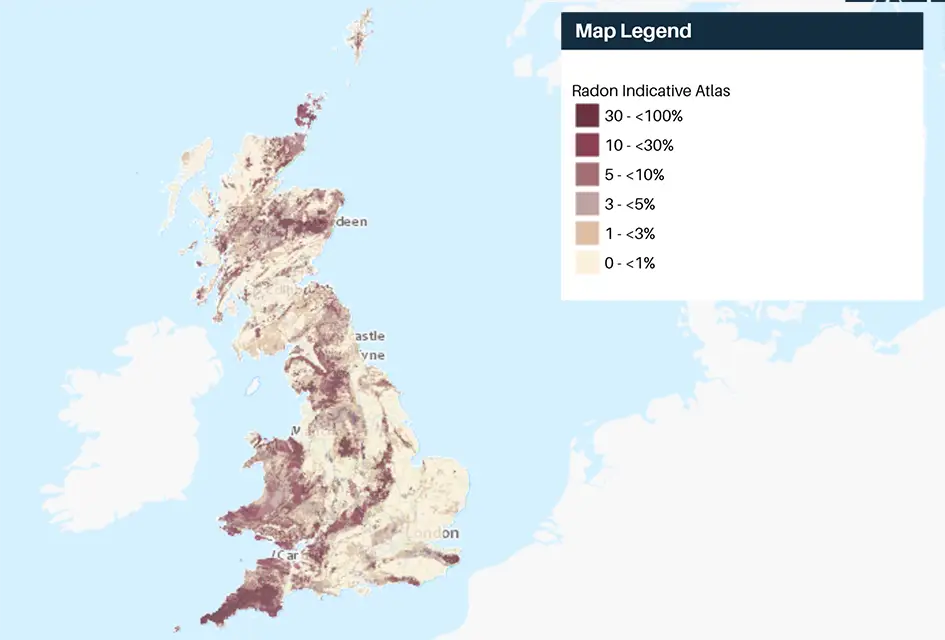

Radon Indicative Atlas. BGS © UKRI.
Indicative Atlas of Radon
- 1 km grid size (approx. 1:1 000 000)
- Great Britain and Northern Ireland
- Open
The joint UK Health Security Agency (UKHSA)-BGS Indicative Atlas of Radon in the United Kingdom presents an overview of the results of detailed mapping of radon potential (defined as the estimated percentage of homes in an area above the radon action level). The Indicative Atlas of Radon in Great Britain presents a simplified version of the radon potential for Great Britain with each 1-km grid square being classed according to the highest radon potential found within it, so is indicative rather than definitive. The joint UKHSA-BGS digital Radon potential for Great Britain provides the current definitive map of radon Affected Areas in Great Britain.
Key information
- Scale:
- 1 km grid size (approx. 1:1 000 000)
- Coverage:
- Great Britain and Northern Ireland
- Availability:
- Open
- Price:
Free for commercial, research and public use under the Open Government Licence. Please acknowledge the material
- Format:
- GIS polygon data (ESRI, MapInfo, others available by request)
- Uses:
- Local-level to regional-level use
- Themes:
- Built environment, Hazards
- Sector:
- Construction and planning, Health
In collaboration with the UK Health Security Agency (UKHSA), BGS released a significant update to the ‘Indicative Atlas for Radon in Great Britain’ and its underpinning data product ‘Radon Potential for Great Britain’ on 1 December 2022. If you would like more information about this update please contact our digital data team (digitaldata@bgs.ac.uk).
The joint UK Health Security Agency (UKHSA)-BGS Indicative Atlas of Radon in the United Kingdom presents an overview of the results of detailed mapping of radon potential (defined as the estimated percentage of homes in an area above the radon action level).
The Radon potential dataset for the United Kingdom provides the current definitive map of radon-affected areas in the United Kingdom. This data presents a simplified version of the radon potential dataset with each 1 km-grid square being classed according to the highest radon potential found within it, so is indicative rather than definitive.
The Indicative Atlas of Radon in the United Kingdom is also available from the UKHSA website as three published documents:
- England and Wales
- Northern Ireland
- Scotland
UKHSA recommends that radon levels should be reduced in homes where the annual average is at or above 200 becquerels per cubic metre (200 Bq/m3) — this is termed the radon action level.
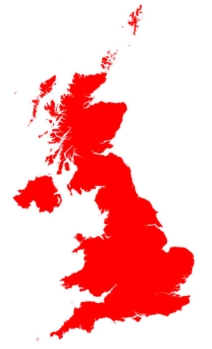
BGS Indicative Atlas of Radon coverage. BGS © UKRI – Contains OS data © Crown copyright 2020.
You may also be interested in
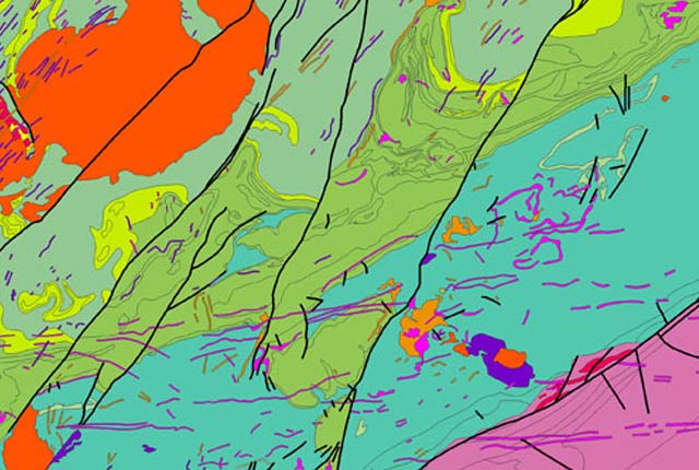
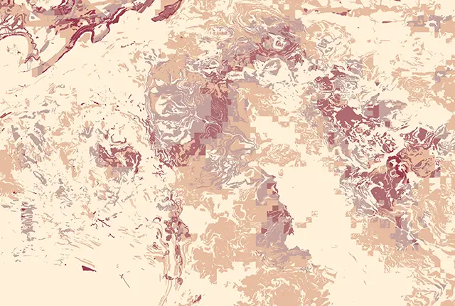
Radon potential
The radon potential dataset is the definitive map of radon-affected areas in Great Britain and Northern Ireland, created jointly by UK Health Security Agency (UKHSA) and the BGS.