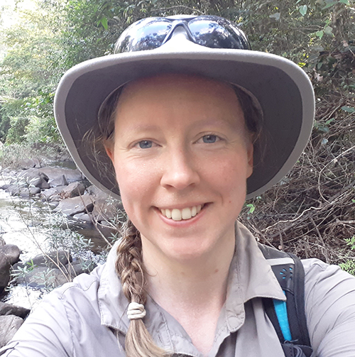
Leanne Hughes’ biography
- 2025 to ongoing Project lead for map data completion
- 2024 to ongoing Geological Society member of council
- 2015 to ongoing: Chartered geologist
- 2013 to 2014: Vice-President of the Geologists Association
- 2010 to 2011: MSc Earth Science — Drumlin morphology in Western Anglesey
- 2008 to ongoing: Survey Geologist, British Geological Survey
- 2005 to 2008: BSc (Hons) Staffordshire University, Physical, Environmental Geography
Research interests
- 3D geological modelling
- Glacial geomorphology
- Quaternary mapping
- Geological mapping workflows
Current projects and collaboration
- Landscapes of Ice Age Journeys
- Digital mapping workflows
- Training international Geological Surveys in SIGMA mapping
Published outputs
Hughes, L, Bateson, L, Ford, J, Napier, B, Creixell, C, Contreras, J-P, and Vallette, J. 2017. Virtual Field Reconnaissance to enable multi-site collaboration in geoscience fieldwork in Chile. [Poster] In: EGU General Assembly 2017, Vienna, Austria, 23-28 April 2017. British Geological Survey. (Unpublished)
Lee, J R, Wakefield, O J W, Phillips, E, and Hughes, L. 2015. Sedimentary and structural evolution of a relict subglacial to subaerial drainage system and its hydrogeological implications: an example from Anglesey, north Wales, UK. Quaternary Science Reviews, 109. 88-110.
Phillips, E, and Hughes, L. 2014. Hydrofracturing in response to the development of an overpressurised subglacial meltwater system during drumlin formation: an example from Anglesey, NW Wales, Proceedings of the Geologists’ Association
Everest, J, Bradwell, T, Jones, L, and Hughes, L. 2017. The geomorphology of Svínafellsjökull and Virkisjökull-Falljökull glacier forelands, southeast Iceland. Journal of Maps, 13 (2). 936-945.
Phillips, E, Lee, J R, Riding, J B, Kendall, R, and Hughes, L. 2012. Periglacial disruption and subsequent glacitectonic deformation of bedrock : an example from Anglesey, North Wales, UK. Proceedings of the Geologists’ Association.
Hughes, L, Phillips, L J E, Thomas, G, and Chiverrell, R. 2011. 3D Architecture and evidence of multiphase sediment fill within drumlins formed between a paleo ice stream. [conference abstract and poster] in; The ice/bed interface in past and present ice sheets and glaciers: subglacial processes, sediments, landforms, and ecosystems. International Union for Quaternary Research, INQUA-Bern.
Cut-out 3D model of Eyjafjallajökull
Skills
- Superficial mapping
- Digital data capture
- Mapping training
- Quaternary Geology
Professional association
- Chartered Geologist
- Fellow of the Geological Society
- Geography Ambassador for the Royal Geographical Society
- Science and Engineering (STEM) Ambassador


