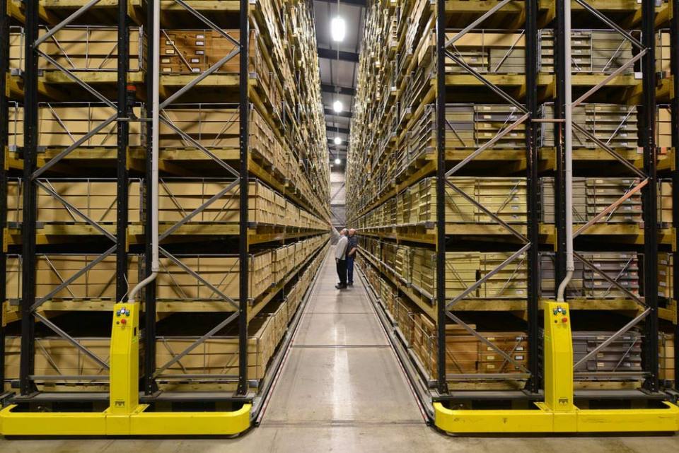
We offer a variety of services and products for the general public, available online and in our on-site shop at our headquarters in Keyworth, including:
- reports
- geological maps in digital and printed versions
- books
- posters and guides
- mobile applications


BGS offers a variety of services and products for the general public, including reports, maps, books and mobile applications. ©iStock.com/Dmytro Varavin.
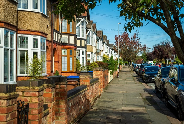
Services for homeowners
We have a range of information available to help your home-buying process, such as geological assessments, ground stability (subsidence) reports and radon risk reports. We can also provide natural ground-stability condition reports, including information about collapsible ground, compressible ground, dissolution, landslide, running sand and swelling clay.
Through GeoReports you can have cost-effective access to unique sources of published and unpublished geological data, combined with expert advice from BGS scientists. If you are interested in ground conditions for drilling, investigation or house purchase or if you are concerned about any other specific hazard, then GeoReports can help you.
Radon protection reports
Radon is a natural radioactive gas that enters buildings from the ground and can cause lung cancer. If you are buying, building or extending a home, then you need to know about radon, and there are several reports available for you, including:
- radon protective measures for new builds and extensions: reports, occurrence and risks
- radon in workplaces
Homes with addresses including postcodes
If the home has a full postal address including a postcode then you can obtain a Radon Risk Report (£3+VAT) online from UKradon
This report will tell you if the home is in a radon affected area, which you need to know if buying or living in it, and if you need to install radon protective measures, if you are planning to extend it.
Homes with addresses not including postcodes
If you are building a new home then you are unlikely to have a full postal address for it.
You can obtain a report from GeoReports service, located using grid references or site plans, which will tell you whether you need to install radon protective measures when building the home.
More information
For further information about radon affected areas and radon protective measures see Radon data: radon potential dataset.
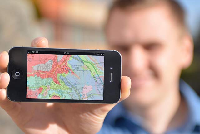
BGS GeoSure
The BGS GeoSure datasets identify areas of potential natural ground movement and therefore potential hazard in Great Britain. This data has been produced by our geologists and geotechnical specialists and is presented as six GIS data layers related to the geohazard.
BGS Shop
We have an online shop.
Need more information?
Find out more about our research
Our data and services
The BGS offers a range of services and information for businesses, home-owners, policymakers and the general public.
OpenGeoscience
Accessing maps and downloading data, scans, photos and other information via BGS’s free OpenGeoscience service.
Related news

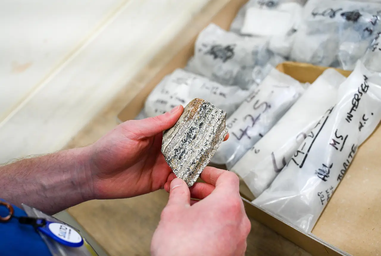
From archive to discovery: historical mineral reports support gold exploration in Scotland
25/06/2026
Digitised geological records show potential to unlock untapped mineral resources in Ardlochan, Argyllshire.

UK and Philippines scientists investigate natural hydrogen generation processes at atomic scale
22/06/2026
BGS researchers were granted access to use the Diamond Light Source facility in order to study hydrogen in light brighter than the sun.

Shortage of end-of-life materials presents challenge to UK critical minerals security
17/06/2026
A new report by the UK Critical Minerals Intelligence Centre reveals insufficient end-of-life material stocks present a supply risk over the coming decade, but offer significant long-term potential to meet critical mineral demand through recycling.

UK geothermal catalogue receives update
16/06/2026
BGS releases the second digital version of the UK geothermal catalogue of subsurface temperature and rock thermal conductivity measurements and heat flow calculations.

Scientists make new discovery in the history of the Giant’s Causeway
15/06/2026
New research is changing our scientific understanding of the formation of one of the UK’s most iconic landmarks and has revealed that Northern Ireland’s volcanic past occurred over a much shorter period than previously thought.
Latest research emphasises climate-related subsidence risk to millions of British homes
11/06/2026
New data from BGS highlights the projected future impact of warmer, drier summers and underlines the need for mitigation measures in susceptible regions.

Ukraine and the UK strengthen their commitment to geological cooperation
10/06/2026
A new Memorandum of Understanding reaffirms the UK’s support of Ukraine’s ambitions to develop its critical mineral resources, paving the way for collaboration through capacity-building programmes.
Newly released core could hold clues on potential mineral prospectivity in Perthshire
05/06/2026
A comprehensive collection of geological samples from the vicinity of a former mine in Scotland is now available to scientists for further research.

Extractive Industry Geology (EIG) Conference 2026
Event from 08/09/2026 to 11/09/2026
University of Liverpool
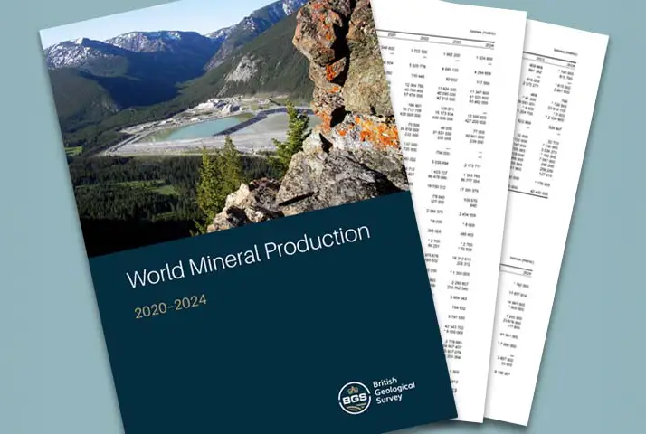
Latest data on world mineral production now available
25/05/2026
BGS has released the updated statistics on the global production of over 70 commodities between 2020 and 2024.

International science consortium to survey the health, economic value and social importance of Lake Victoria
22/05/2026
The project will replicate the 1927 survey to assess changes in the lake’s health, economic value and social importance.

New geological maps of Berwick-upon-Tweed to help future-proof natural water supply
20/05/2026
Scientists have mapped the geology under the town to better understand the groundwater system to inform decisions around abstraction.