The removal of sediment or engineered materials from the bed or banks of a watercourse is known as ‘river scour’ and can occur when the forces imposed by the flow on a sediment particle exceed the stabilising forces (Kirby et al., 2015; Highways Agency, 2006). It is most intense at points where there is a focusing of flow at channel constrictions (e.g. bridges), where impacts occur (e.g. to bridge piers) (May et al., 2002) or where the local geology exhibits changes in properties.
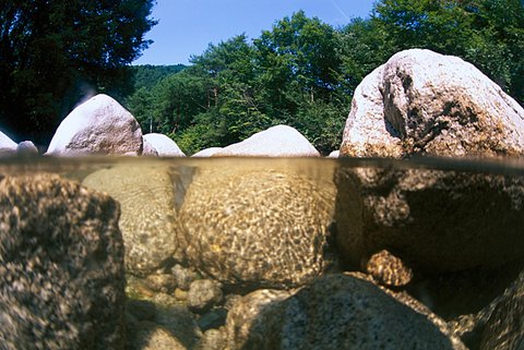

Non-cohesive alluvial material in river beds can be easily eroded. © Dex Image PTE.
The effects of scour
This issue was especially highlighted during recent winter storms when a number of significant events triggered scouring and subsequent river-bank collapse, along with bridge failures through loss of foundations. This caused disruption, damage and losses of hundreds of thousands of pounds as work was undertaken to assess and remediate each incident.
Abergeldie Castle, on the banks of the River Dee in Aberdeenshire, was threatened with collapse into the river in January 2016. Remedial works have now been undertaken. Along the same river, a number of bridge collapses have also been remediated.
Further south, sections of Tadcaster Bridge in North Yorkshire collapsed into the River Wharf during the late evening of 29 December 2015. This Grade II listed bridge, under advisory designation by Historic England, was seriously damaged by scour of a bridge pier and was estimated to cost £3 million to repair.
Project aim
The BGS aims to convert geological knowledge, data and previous research of scour, as well as an understanding of consumer needs, into a user-focused decision-support tool that helps stakeholders make business decisions about survey, remediation and maintenance of in-river structures.
Approach
The BGS will provide a national-scale scour susceptibility model for Great Britain using a nested framework model to determine a three-tiered data provision, allowing increasing levels of understanding at different resolutions from catchment to local (channel/reach) scales.
A national-scale scour risk map at catchment and subcatchment scale will be created to allow users to identify:
- catchments with higher erosion activity due to landscape evolution
- subcatchments with a higher risk of scour due to river flow regimes, underlying geological factors and catchment size (ability to shed/retain water)
- specific sections of river at high risk of scour (present day) as well as map future scour zones and potential direction of river channel movement
The project is designed in such a way that the outputs will be of national scope and applicable at local scale. It includes all rivers shown in the Ordnance Survey’s Open Rivers dataset, and all catchments in the Environment Agency’s open data (Water Framework Directive river bodies data).
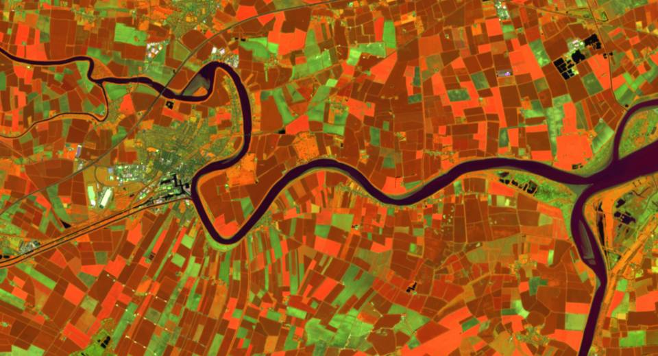
River Ouse satellite image, from Sentinel satellite data.
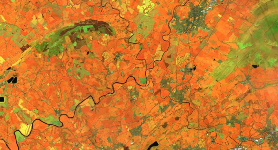
Clitheroe satellite image, from Sentinel satellite data.
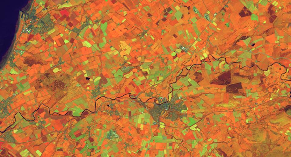
Cockermouth satellite image, from Sentinel satellite data.
Impact
This tool will allow users to make better-informed decisions and provide more specific advice to decision makers in terms of recommended investigations, monitoring, mitigation or resilience planning. It will make the advisory process more proactive rather than the current reactive approaches often taken, potentially reducing asset damage or failure events, thereby saving the economy rebuild, diversion and disruption costs.
Highways Agency. 2006. Assessment of scour at highway bridges. Part 21 BA 74/06 in Design manual for roads and bridges volume 3 highway structures: inspection and maintenance assessment.
Historic England. 2016. Tadcaster Bridge, Tadcaster, North Yorkshire: assessment of significance 11 MB pdf. Historic England Research Report Series RR27–2016.
Kirby, A M, Roca, M, Kitchen, A, Escarameia, M, and Chesterton, O J. 2015. Manual on scour at bridges and other hydraulic structures. Second edition. CIRIA C742, RP987.
May, R W P, Ackers, J C, and Kirby, A M. 2002. Manual on scour at bridges and other hydraulic structures. CIRIA C551.
Contact
If you want to discover more then please contact Katy Lee.
You may also be interested in

Hazard and resilience modelling
Developing new and innovative data products that deliver geoscientific information to a range of users in an accessible form.