

Datasets

These are our most popular and influential datasets. For a comprehensive list of all BGS data, please visit the BGS Metadata Catalogue
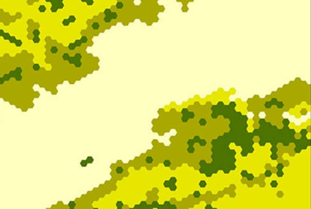
This dataset provides a generalised overview of the likelihood for mining to have occurred.
- Open
- 1 km hex grid (approx. 1:1 000 000)
- Great Britain

 Data Preview
The mining hazard dataset provides essential information for planners and developers building in areas of former shallow underground mine workings.
- Premium
- 1:50 000
- Great Britain
Data Preview
 Data Preview
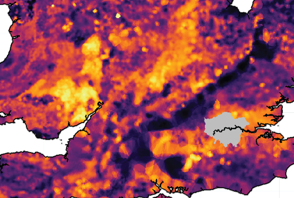
The UK stream sediment geochemistry maps present data compiled from the G-BASE and TellusNI geochemical projects.
- Open / Premium
- Great Britain and Northern Ireland
Data Preview
 Data Preview
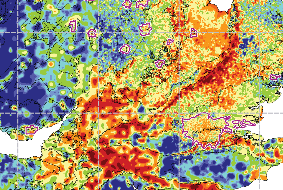
The UK Compiled Topsoil Dataset (UKTS), is the most extensive topsoil geochemistry dataset for the UK.
- Open / Premium
- Partial UK Coverage
Data Preview