The groundwater levels timeline map viewer provides online access to a timeline of monthly groundwater levels across the UK from 1970 to the present day.
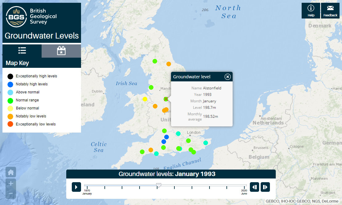

Groundwater levels timeline map viewer interface. Contains GEBCO, IHO-IOC GEBCO, NGS, DeLorme data.
Open the groundwater levels timeline
You may also be interested in

Map viewers
Data published through map viewers allowing you to reveal more about the ground beneath your feet.