CoastalME

BGS Research — Coasts and estuaries geohazards

Coastal Modelling Environment, or CoastalME, is a modelling environment that simulates decadal and longer coastal morphological changes. Developed as part of the iCOAST and BLUECoast projects, it is an engineering tool for advanced modellers seeking to simulate the interaction of multiple coastal landforms and different types of human interventions.

Boulders at the base of a cliff
Information icon

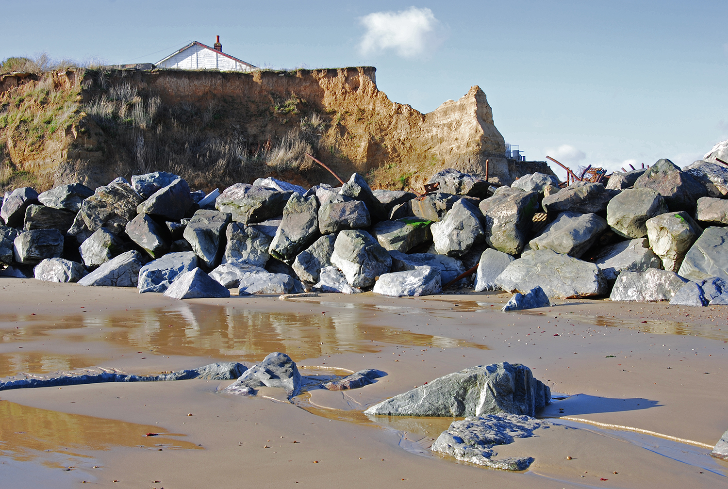
Boulders used as sea defences at Happisburgh, Norfolk. BGS © UKRI.

Expand icon

    Need more information?

    Contact the head of coastal and estuary geohazards

    Find out more about our research

    BGS White Ribbon boat on the Firth of Forth

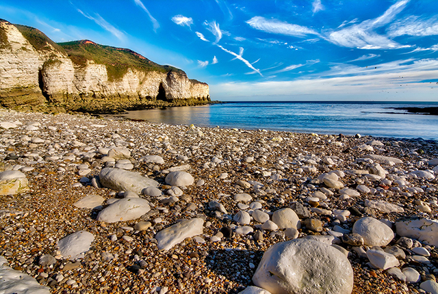
    Sea floor: marine geoscience

    Providing independent and expert geological advice, research and data acquisition to anyone working in the marine environment.

    Show more
    Beach with pebbles and chalk. Image by Tim Hill from Pixabay 

    GeoCoast

    Coastal vulnerability is an issue in many coastal areas of Great Britain. Understanding the processes and identifying potential geohazards and interdependencies within the coastal zone allows users to mitigate and plan to improve future resilience.

    Show more

    Was this page helpful?

    • How can we make this section better?*

    • Please select a reason*

    • How can we make this section better?*