We are using our in-depth regional geological expertise to provide fit-for-purpose geological maps to stakeholders in the groundwater industry, supporting the sustainable management of a principal chalk aquifer.
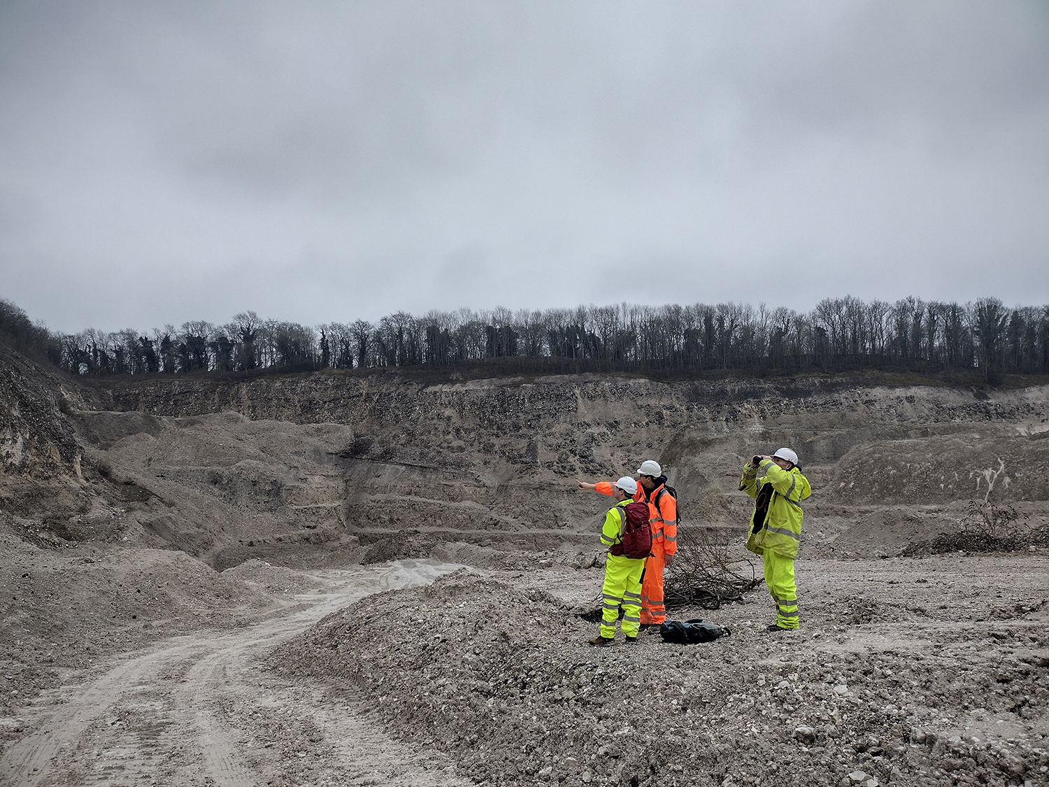

BGS geoscientists study the rocks in a chalk quarry to gain insight into the subsurface. BGS © UKRI.
What is the Yorkshire Wolds project?
The introduction of the Water Framework Directive highlighted the importance of and need for better understanding groundwater aquifers with the aim of protecting and improving water quality. Geological input is crucial to this mission and stakeholders are expressing an increasing need for higher-resolution datasets to improve their understanding and groundwater modelling.
The Yorkshire Wolds geological assessment project involved mapping the Upper Cretaceous Chalk aquifer of the Yorkshire Wolds and the Quaternary deposits of the wolds and Holderness in order to improve the existing geological linework and 3D conceptual understanding of the region’s geology.
Who does the project aim to help and how?
The project is a BGS partnership with the Environment Agency and Yorkshire Water with the aim to improve the geological characterisation of the Chalk Group aquifer. The aquifer is important as it is the primary drinking-water source for the area, used to provide for businesses, homes and public services in the region. The new geological mapping will provide detailed and accurate information to inform decision making around the use of groundwater resources.
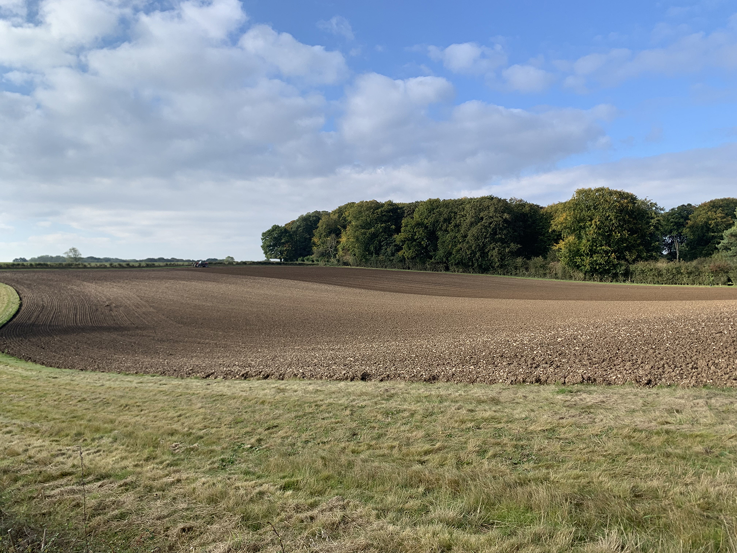
Typical Yorkshire Wolds farming landscape: a dry valley with chalk bedrock sides. BGS © UKRI.
Expert BGS geoscientists undertook targeted and widespread field campaigns where data was collected via traditional techniques such as:
- field surveying on foot
- geological logging of active and disused quarries
- excavation of shallow boreholes using hand-augering techniques
The data was combined in geographical imaging system (GIS) software with modern remote sensing techniques and data sources such as digital terrain models, as well as historical field observations and borehole records, to produce updated, fit-for-purpose geological linework for the region.
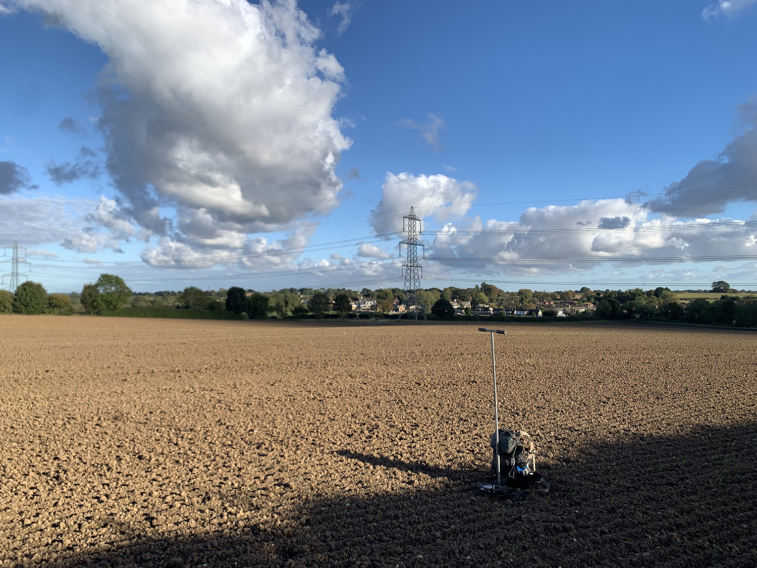
A soil auger being used to map superficial deposits on farmland in the village of Skidby, near Hull. BGS © UKRI.
What will the outcomes be?
The project will provide an updated geological map of the Yorkshire Wolds and part of Holderness, last surveyed in the 1800s, which will reflect the complex fault network and the sequence of Quaternary deposits. This enhanced knowledge will help to improve regional understanding of both the aquifer and groundwater resources, as well as localised geological issues that may pose risks to specific water supply assets, such as water abstraction sites.
The updated geological maps will also help local planners and regulators make more informed decisions around the management of the Chalk aquifer in the Yorkshire Wolds. The data also provides a solid geological framework to underpin future work to help mitigate present and future issues faced in the Yorkshire Wolds, including drought, coastal erosion and saline intrusion into the aquifer.
Contact
If you would like more information, please contact Laura Burrel Garcia.