The aim of the climatic hazards and natural geological events (CHANGE) project is to increase the understanding of the combined impacts of climate change and geohazards on infrastructure in the UK.
The impact of climate change
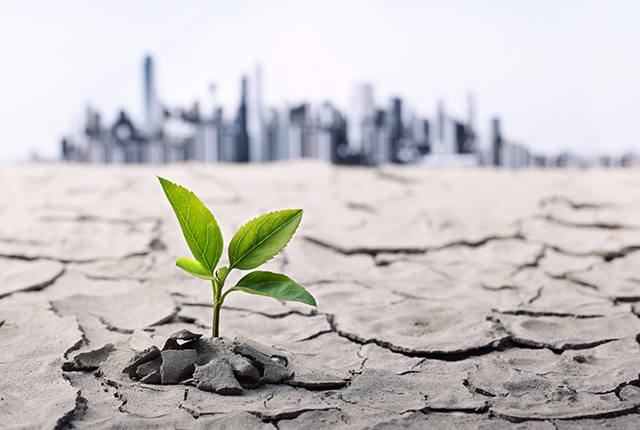
Climate change is one of the biggest environmental problems that the UK faces. Increased understanding of its effects is vital to enable adaption to, and mitigation of, the potential consequences. This research has undertaken analysis and modelling of the relationship between climate change and clay shrink–swell behaviour. It has been carried out to increase our understanding of the potential consequences of changes in precipitation and temperature on ground movement (subsidence), specifically for road networks.
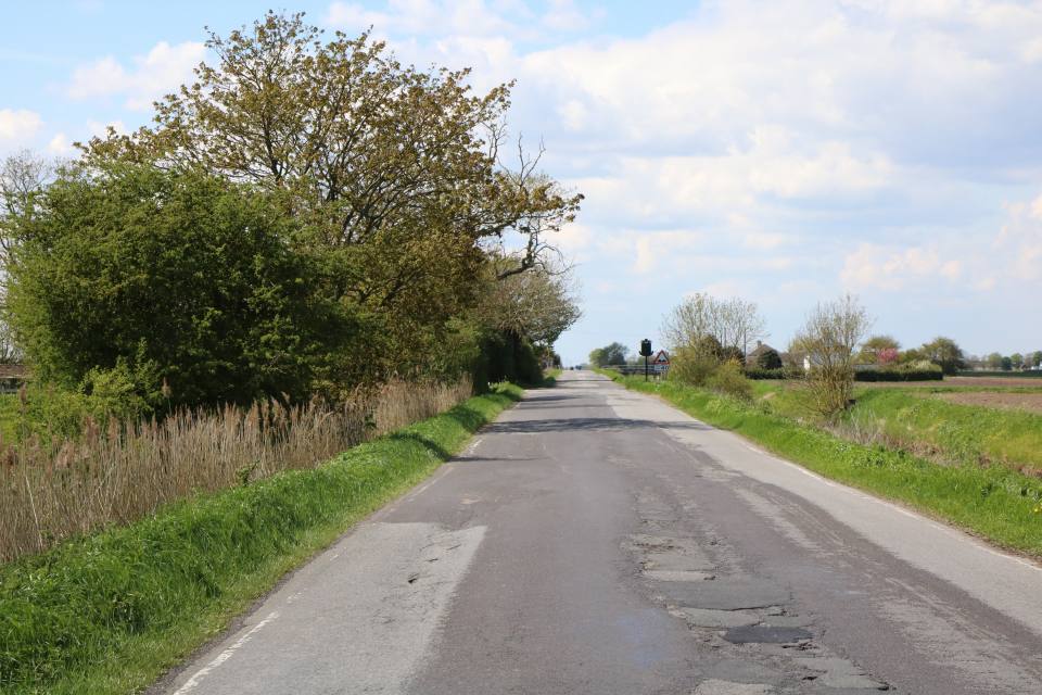

Several phases of repair to a road in Lincolnshire that had suffered ground movement.
Shrink–swell clays
Swelling clays can change volume due to variation in moisture. This can lead to ground movement, particularly in the upper two metres of the ground, or where ground has been excavated and the swelling clays exposed, which may affect many foundations. Ground moisture variations may be related to a number of factors, including weather variations, vegetation effects (particularly growth or removal of trees) and the activities of people that might cause changes to the ground conditions. Such changes can affect building foundations, pipes or services.
GeoClimate
The BGS has developed a new data product, ‘GeoClimate’, which is essentially a national hazard-susceptibility map providing information on the change with time in susceptibility of shrink–swell across Great Britain due to a changing climate and the associated changes in soil moisture. This methodology has been developed by engineering geologists, hydrogeologists, geophysicists and information developers at the BGS and is presented as geographical information system (GIS) data layers.
Parameters included in the analyses are:
- historic weather trends
- geological properties
- soil moisture conditions
- natural ground subsidence
The key causal relationships and trigger thresholds have been identified. To build a stronger understanding of the effects of changes in climate on the clay-rich areas of the country, the project brings together laboratory analysis, data collation and analysis, crowdsourced infrastructure damage information, and collaboration with other organisations.
This data product can support mitigation planning, design and implementation, ensuring the design of infrastructure is future-proofed by informing:
- the prioritisation of asset management and maintenance regimes
- planning and costing
- long-term resilience planning
Armed with knowledge about potential hazards, preventative measures or mitigation can be put in place to alleviate the impact of the hazard on infrastructure. The cost of such prevention may be very low and is often many times lower than the repair bill following ground movement.
What is GeoClimate for?
This standalone product temporally identifies areas of shrink–swell hazard with a change in susceptibility of clay shrink–swell across Great Britain and consists of a suite of data layers in GIS format. The UKCP09 medium emissions climate projections for rainfall and temperature have been utilised to project changes in clay shrink–swell susceptibility, provided for the time periods 2020s, 2050s and 2080s.
GeoClimate: shrink–swell is provided in two options: a simple overview dataset (GeoClimate Open) and a detailed dataset (GeoClimate Premium).
GeoClimate Open
- Freely available suite of layers under Open Government Licence
- Provides a 2 km generalised vector grid of the projected effects of climate change on clay shrink–swell susceptibility in Great Britain, calculated for 11-year windows
- Provided for three time periods:
- 2030 (2025 to 2035)
- 2050 (2045 to 2055)
- 2080 (2075 to 2085)
- One projection is provided for each time period: average climate projection
- Based on the average outcome for the medium emissions scenario and the most susceptible GeoSure value (worst case) within the grid cell
GeoClimate Premium
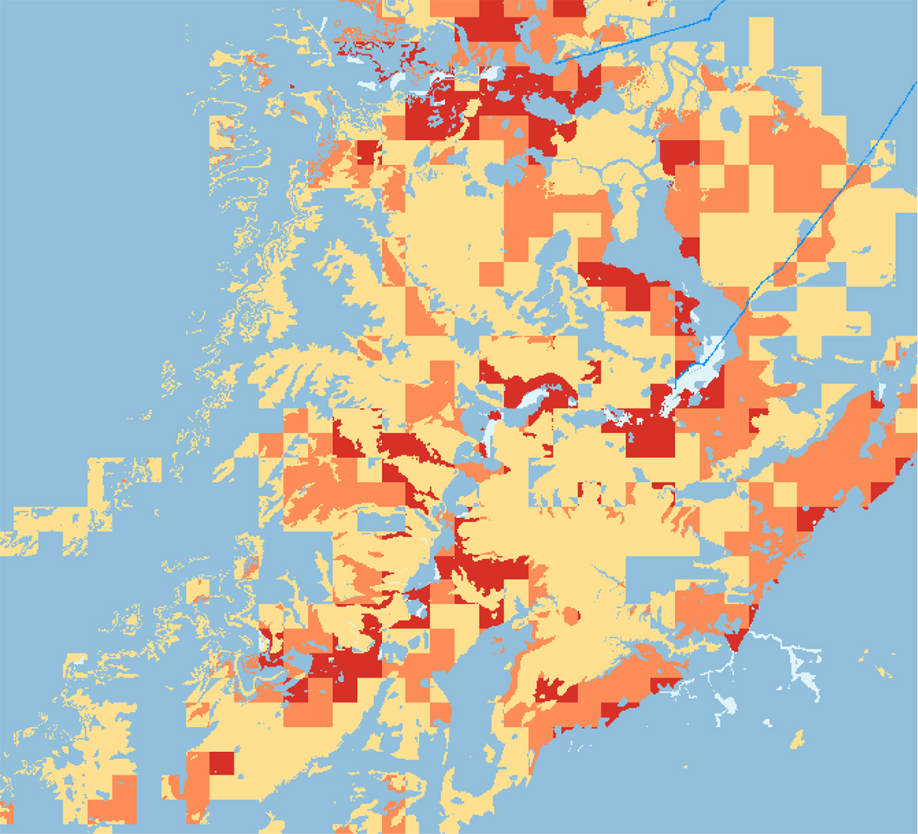
GeoClimate Premium sample. © BGS/UKRI.
- More detailed suite of layers, provided in polygons that are derived from BGS GeoSure vector data
- Provides a higher-resolution (1:50 000) view of the GeoClimate shrink–swell projections, calculated for 11-year windows
- 2020 (2015 to 2025)
- 2030 (2025 to 2035)
- 2040 (2035 to 2045)
- 2050 (2045 to 2055)
- 2080 (2075 to 2085)
- Three projected scenarios for each time period: average, wetter and drier climate projections are provided
GeoRise
Groundwater-level rise contributes to major flooding problems across the UK. The slow and often unnoticeable rise of groundwater levels to the near surface causes major problems to subsurface infrastructure, including sewage and sewerage systems, building basements, tunnels and other major ground structures.
Groundwater levels are anticipated to show greater fluctuations in the future, with a possible increased frequency of the water table approaching the ground surface. To address this problem, the BGS is undertaking product research (‘GeoRise’) that intends to investigate the resilience of subsurface infrastructure to the effects of climate change through the provision of a national-scale future groundwater flood-risk indicator map.
The model will enable infrastructure owners to improve resilience to groundwater related risks by:
- observing past and present climate
- providing projections of groundwater variation
- enabling mitigation and planning for groundwater flooding conditions
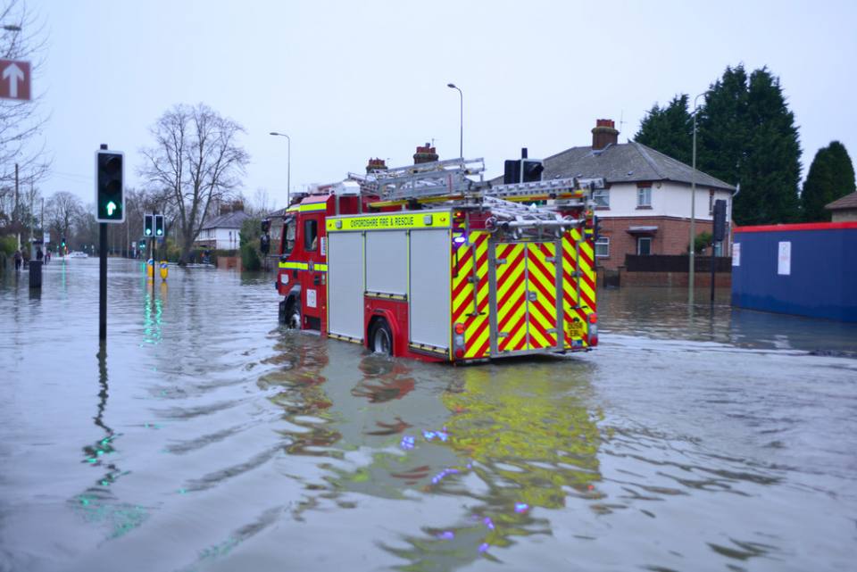
Climate change brings with it an increase in flooding events in the UK.
Further information
The work carried out within this project is closely related to the work of the climate change and geohazards project as part of the shallow geohazards and risk team. See the ground shrinkage and subsidence page for more information on shrink–swell.
Contact
If you want to discover more then please contact Anna Harrison.
You may also be interested in
Hazard and resilience modelling
Developing new and innovative data products that deliver geoscientific information to a range of users in an accessible form.