BGS mineralogy and petrology collection record
| Sample number | S15704; COLLNOC61; |
|---|---|
| Sample Donor | Not entered |
| Rock name | Not entered |
| Stratigraphy | Not entered |
| Comments | Not entered |
| Locality details | Burn entering Loch Doire an Tollain, and forming county boundary at 1294 ft above O.D. |
| 50k map sheet | Rannoch (54) |
| Map reference | NN 3891 5019 |
| Year collected | Not entered |
| Bore name | Not applicable |
| Confidentiality | No restrictions |
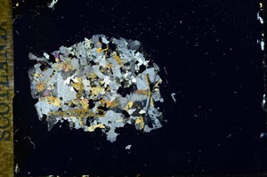
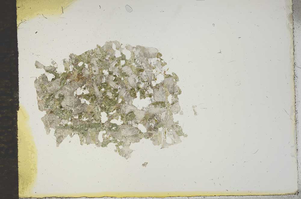
Petrological thin sections
Links to high resolution images
Transition from XPL to PPL light
S15704