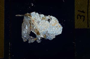
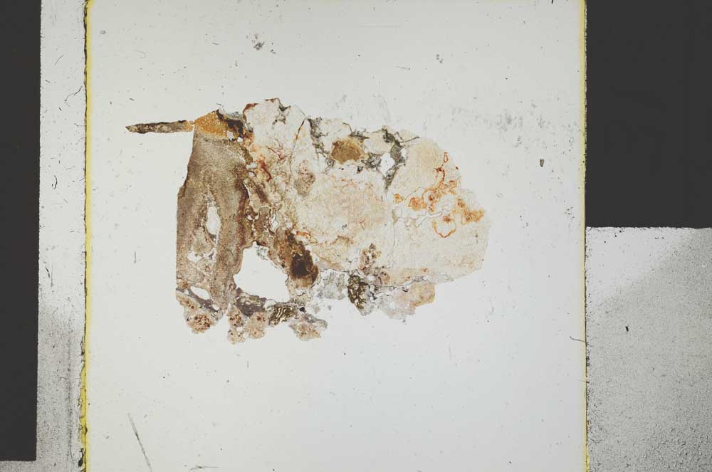
BGS mineralogy and petrology collection record
| Sample number | S29398; COLLNOTR136; |
|---|---|
| Sample Donor | Robertson,T. |
| Rock name | Not entered |
| Stratigraphy | Not entered |
| Comments | Cornstone in Upper ORS |
| Locality details | Cliff on lower bank of Garrel Burn, 950 yds NNW of Allanfault Farm |
| 50k map sheet | Airdrie (31) |
| Map reference | NS 7115 7951 |
| Year collected | Not entered |
| Bore name | Not applicable |
| Confidentiality | No restrictions |
Petrological thin sections
Links to high resolution images
Transition from XPL to PPL light
S29398