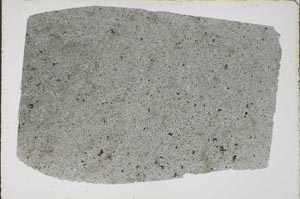
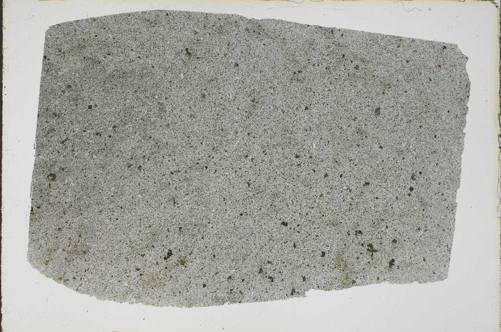
BGS mineralogy and petrology collection record
| Sample number | S44045; S44045/A; COLLNOXP191; |
|---|---|
| Sample Donor | Read,W.A. |
| Rock name | Not entered |
| Stratigraphy | Not entered |
| Comments | Lava; Volcanic Group of Calciferous Sandstone Series; probably near base of flow |
| Locality details | 4950 ft at 170 deg from Hillhead. From crag 30 ft W of Touch - Gargunnock march dyke |
| 50k map sheet | Stirling (39) |
| Map reference | NS 7183 9247 |
| Year collected | Not entered |
| Bore name | Not applicable |
| Confidentiality | No restrictions |
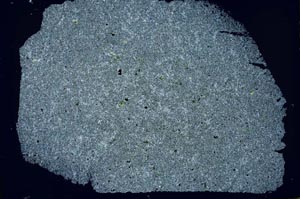
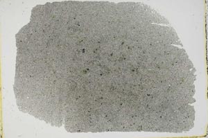
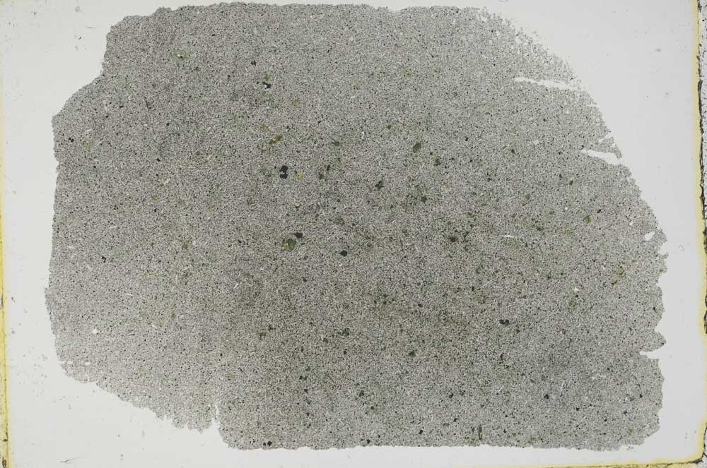
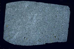
Petrological thin sections
Links to high resolution images
Transition from XPL to PPL light
S44045
S44045/A