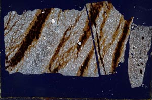
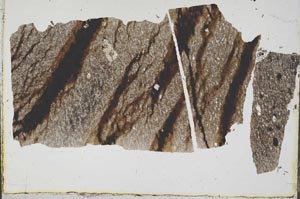
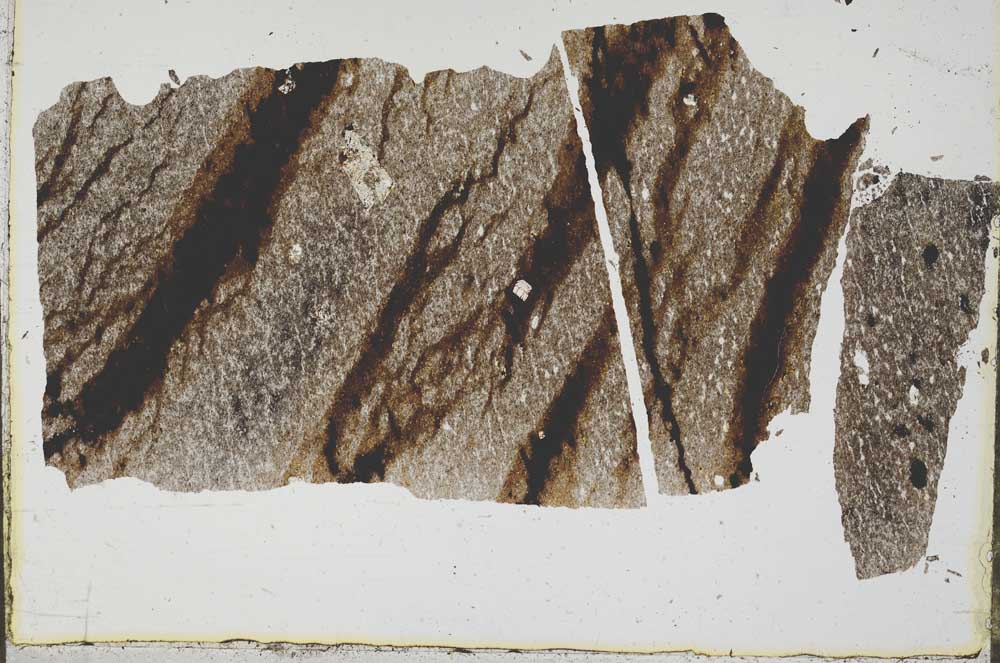
BGS mineralogy and petrology collection record
| Sample number | S45300; COLLNOXP531; |
|---|---|
| Sample Donor | Read,W.A. |
| Rock name | Not entered |
| Stratigraphy | Not entered |
| Comments | Dyke more than 4 ft wide trending roughly NE-SW |
| Locality details | Outcrop c. 1000 ft NE of NE end of Upper Earl's Burn reservoir dam, c. 6650 ft at 315 deg from summit of Earl's Hill |
| 50k map sheet | Stirling (39) |
| Map reference | NS 7043 8987 |
| Year collected | Not entered |
| Bore name | Not applicable |
| Confidentiality | No restrictions |
Petrological thin sections
Links to high resolution images
Transition from XPL to PPL light
S45300