BGS mineralogy and petrology collection record
| Sample number | S44823; COLLNOXP358; |
|---|---|
| Sample Donor | Read,W.A. |
| Rock name | Not entered |
| Stratigraphy | Not entered |
| Comments | Dyke 4 - 8 ft thick trending approx NNE/SSW |
| Locality details | Tributary of Gargunnock Burn, from lip of waterfall at top of slot-like gully, c. 6500 ft S 3 deg W from Gargunnock Church |
| 50k map sheet | Stirling (39) |
| Map reference | NS 7066 9232 |
| Year collected | Not entered |
| Bore name | Not applicable |
| Confidentiality | No restrictions |
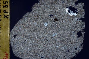
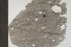
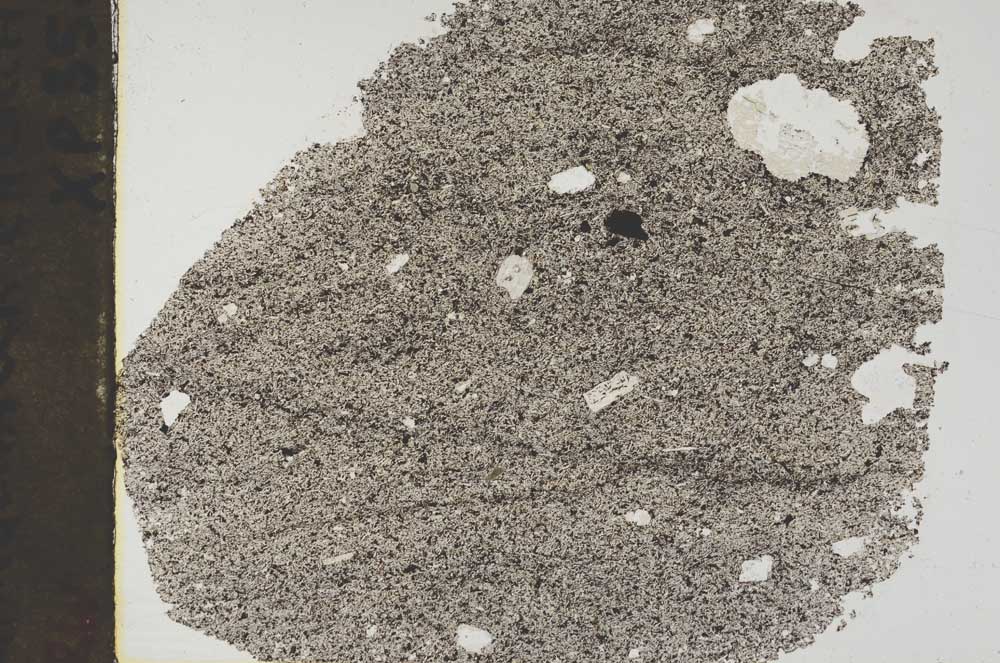
Petrological thin sections
Links to high resolution images
Transition from XPL to PPL light
S44823