BGS mineralogy and petrology collection record
| Sample number | S44821; COLLNOXP353; |
|---|---|
| Sample Donor | Read,W.A. |
| Rock name | Not entered |
| Stratigraphy | Not entered |
| Comments | Composite flow, collected 30 ft W of S. 44820 |
| Locality details | 10 ft crag, 5950 ft S 33 deg E from Gargunnock Church |
| 50k map sheet | Stirling (39) |
| Map reference | NS 7154 9305 |
| Year collected | Not entered |
| Bore name | Not applicable |
| Confidentiality | No restrictions |
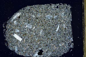
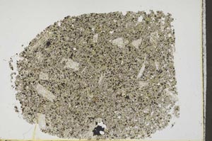
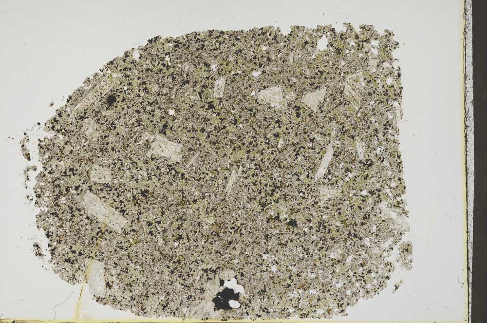
Petrological thin sections
Links to high resolution images
Transition from XPL to PPL light
S44821