BGS mineralogy and petrology collection record
| Sample number | S44816; COLLNOXP344; |
|---|---|
| Sample Donor | Read,W.A. |
| Rock name | Not entered |
| Stratigraphy | Not entered |
| Comments | Lower part of Downie's Loup sill, which is here more than 60 ft thick |
| Locality details | Old quarry, bottom of centre of face, c. 4050 ft S 7 deg E from Gargunnock Church |
| 50k map sheet | Stirling (39) |
| Map reference | NS 7086 9308 |
| Year collected | Not entered |
| Bore name | Not applicable |
| Confidentiality | No restrictions |
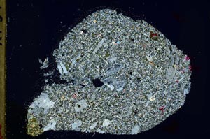
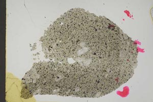
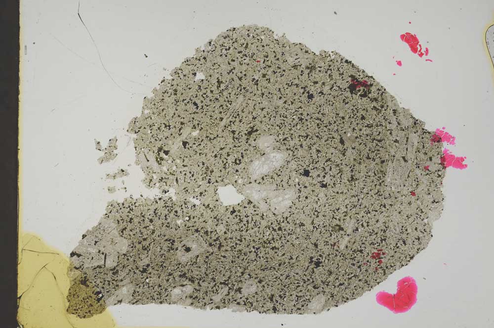
Petrological thin sections
Links to high resolution images
Transition from XPL to PPL light
S44816