BGS mineralogy and petrology collection record
| Sample number | S44067; S44067/A; COLLNOXP268; |
|---|---|
| Sample Donor | Read,W.A. |
| Rock name | Not entered |
| Stratigraphy | Not entered |
| Comments | Lava; Volcanic Group of Calciferous Sandstone Series |
| Locality details | 6350 ft at 263 deg from Scout Head summit; outcrop on crag 180 ft W of gully of Redhall Burn headwaters |
| 50k map sheet | Stirling (39) |
| Map reference | NS 7234 9296 |
| Year collected | Not entered |
| Bore name | Not applicable |
| Confidentiality | No restrictions |
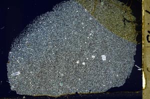
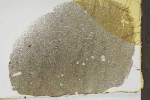
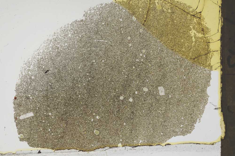
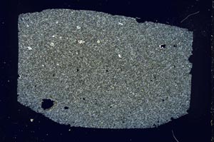
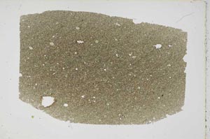
Petrological thin sections
Links to high resolution images
Transition from XPL to PPL light
S44067
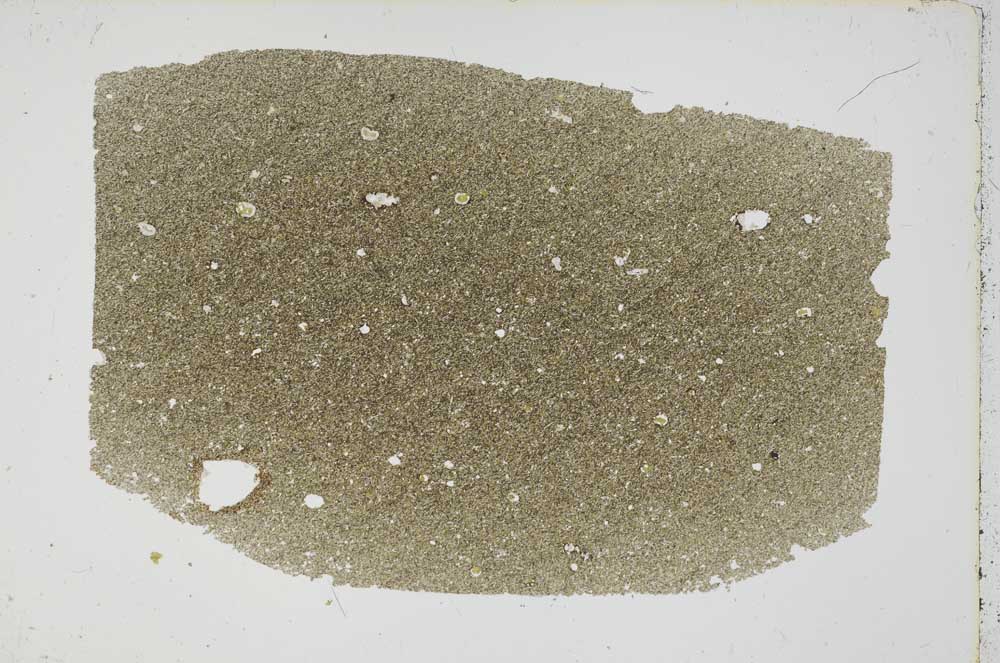
S44067/A