BGS mineralogy and petrology collection record
| Sample number | S44052; COLLNOXP201; |
|---|---|
| Sample Donor | Read,W.A. |
| Rock name | Not entered |
| Stratigraphy | Not entered |
| Comments | Lava; Volcanic Group of Calciferous Sandstone Series |
| Locality details | 4631 ft at 227 deg from Scout Head summit. Upper of two flows exposed in cliffs in Craigbrock Burn, immediately downstream from first prominent waterfall above ruined cottage |
| 50k map sheet | Stirling (39) |
| Map reference | NS 7248 9215 |
| Year collected | Not entered |
| Bore name | Not applicable |
| Confidentiality | No restrictions |
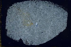
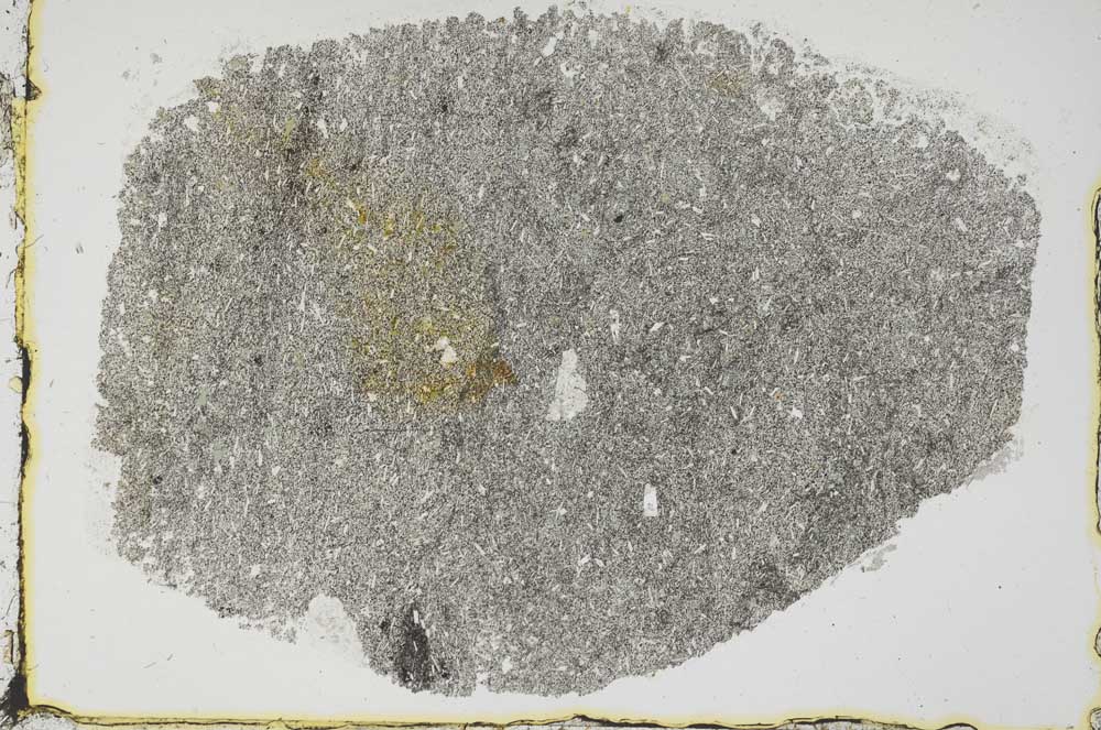
Petrological thin sections
Links to high resolution images
Transition from XPL to PPL light
S44052