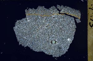
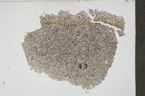
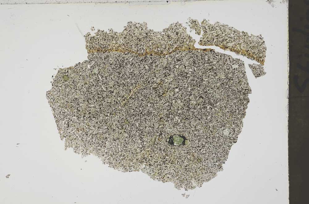
BGS mineralogy and petrology collection record
| Sample number | S44041; COLLNOXP174; |
|---|---|
| Sample Donor | Read,W.A. |
| Rock name | Not entered |
| Stratigraphy | Not entered |
| Comments | Lava; Volcanic Group of Calciferous Sandstone Series |
| Locality details | 2990 ft at 251 deg from Touch House, immediately below top of cliff in right bank of Touch Burn, immediately W of bend in path where it descends slope |
| 50k map sheet | Stirling (39) |
| Map reference | NS 7436 9246 |
| Year collected | Not entered |
| Bore name | Not applicable |
| Confidentiality | No restrictions |
Petrological thin sections
Links to high resolution images
Transition from XPL to PPL light
S44041