BGS mineralogy and petrology collection record
| Sample number | S44039; S44039/A; COLLNOXP172; |
|---|---|
| Sample Donor | Read,W.A. |
| Rock name | Not entered |
| Stratigraphy | Not entered |
| Comments | Lava; Volcanic Group of Calciferous Sandstone Series |
| Locality details | 2970 ft at 252 deg from Touch House, in right bank of Touch Burn, about 12 ft above water level |
| 50k map sheet | Stirling (39) |
| Map reference | NS 7438 9248 |
| Year collected | Not entered |
| Bore name | Not applicable |
| Confidentiality | No restrictions |
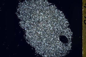
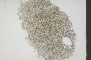
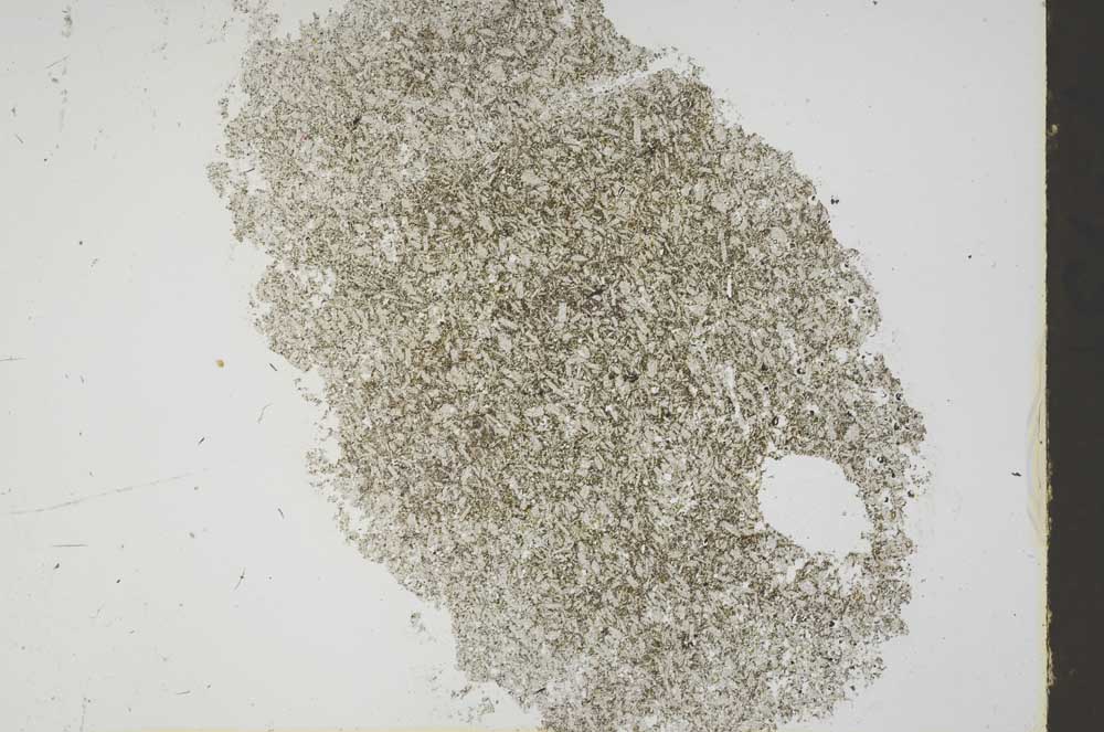
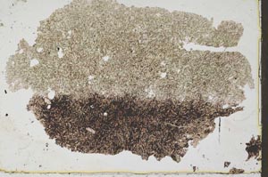
Petrological thin sections
Links to high resolution images
Transition from XPL to PPL light
S44039
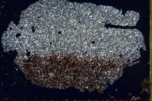
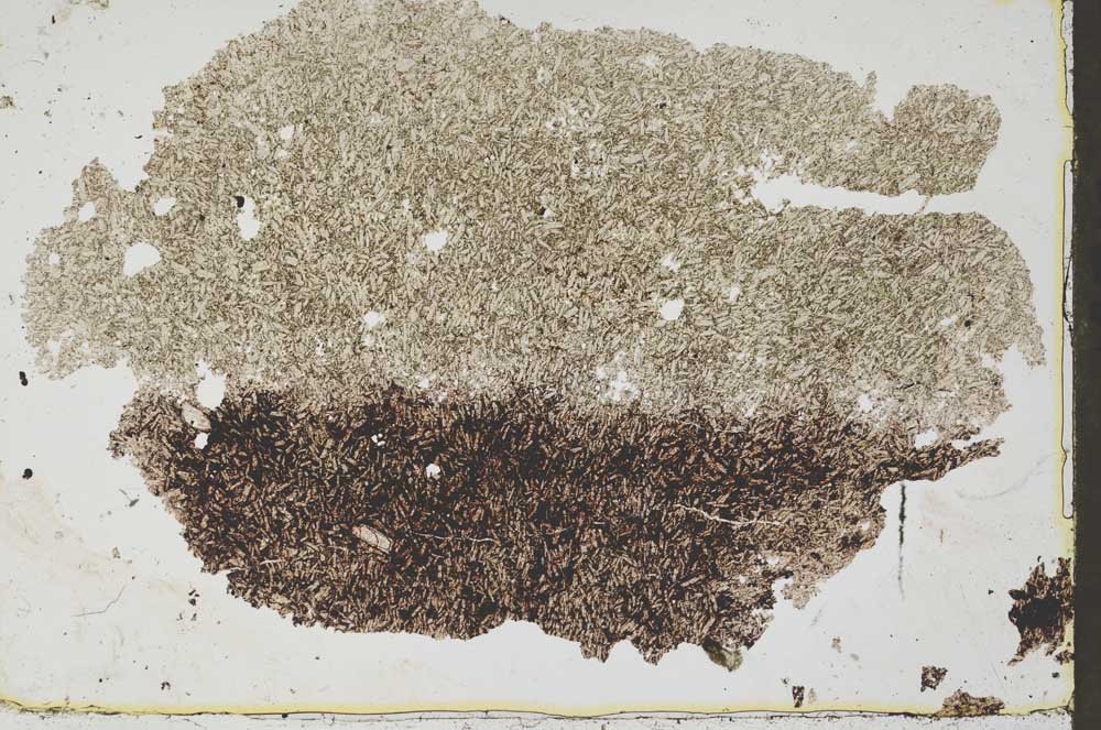
S44039/A