BGS mineralogy and petrology collection record
| Sample number | S44848; COLLNOXP404; |
|---|---|
| Sample Donor | Read,W.A. |
| Rock name | Not entered |
| Stratigraphy | Not entered |
| Comments | Probably a dyke trending approxiamtely NE-SW |
| Locality details | Gully formed by headwaters of Wester Blackspout, 1660 ft at 12 deg from Carleatheran summit |
| 50k map sheet | Stirling (39) |
| Map reference | NS 6890 9237 |
| Year collected | Not entered |
| Bore name | Not applicable |
| Confidentiality | No restrictions |
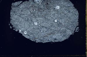
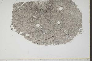
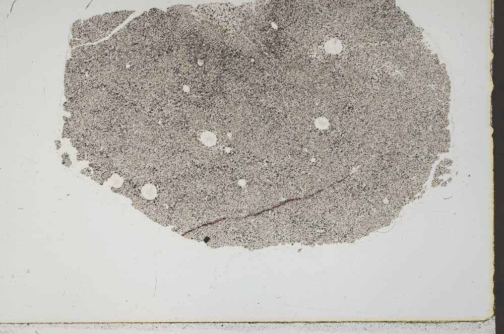
Petrological thin sections
Links to high resolution images
Transition from XPL to PPL light
S44848