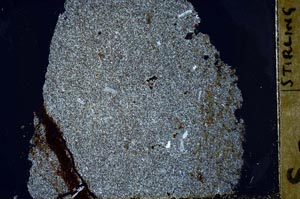
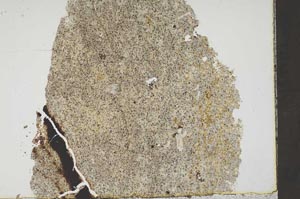
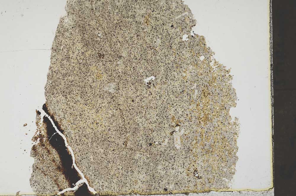
BGS mineralogy and petrology collection record
| Sample number | S44841; S44841/A; COLLNOXP378; |
|---|---|
| Sample Donor | Read,W.A. |
| Rock name | Not entered |
| Stratigraphy | Not entered |
| Comments | Flow 18 of Gargunnock Burn series; at 423 ft in Stir. 16NE/2A |
| Locality details | Crag at base of trap feature; c. 5250 ft at 183 deg from Gargunnock Church |
| 50k map sheet | Stirling (39) |
| Map reference | NS 7068 9271 |
| Year collected | Not entered |
| Bore name | Not applicable |
| Confidentiality | No restrictions |
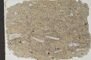
Petrological thin sections
Links to high resolution images
Transition from XPL to PPL light
S44841
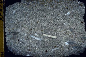
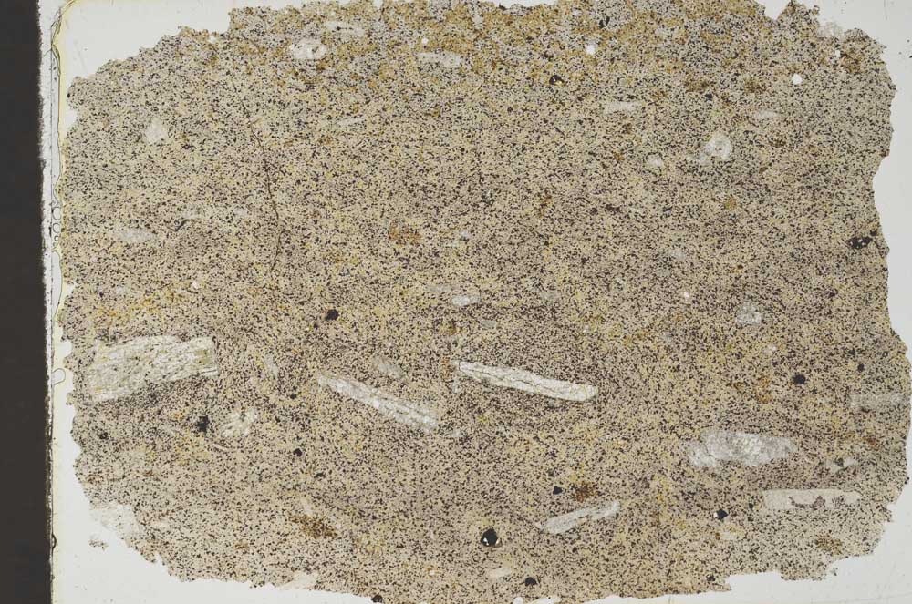
S44841/A