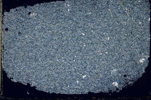
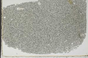
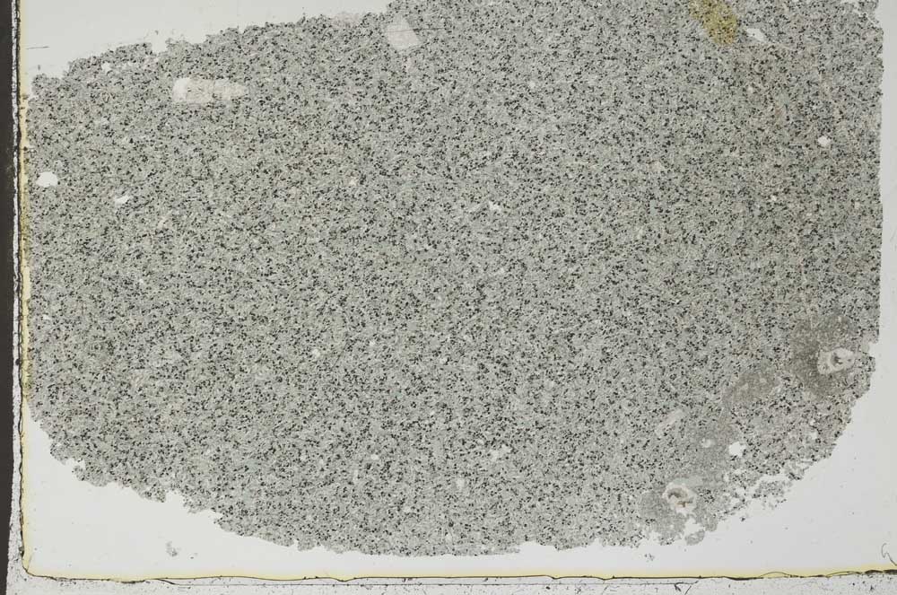
BGS mineralogy and petrology collection record
| Sample number | S44834; COLLNOXP371; |
|---|---|
| Sample Donor | Read,W.A. |
| Rock name | Not entered |
| Stratigraphy | Not entered |
| Comments | Centre of 4 ft wide dyke trending approx. ENE/WSW |
| Locality details | Gargunnock Burn, E bank c. 40 ft upstream from forest fence, c. 3050 ft at 183 deg from Gargunnock Church |
| 50k map sheet | Stirling (39) |
| Map reference | NS 7063 9337 |
| Year collected | Not entered |
| Bore name | Not applicable |
| Confidentiality | No restrictions |
Petrological thin sections
Links to high resolution images
Transition from XPL to PPL light
S44834