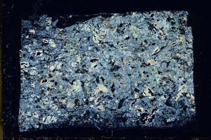
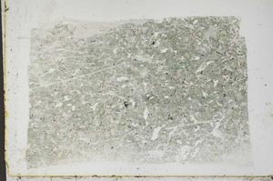
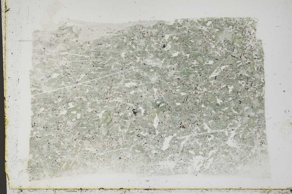
BGS mineralogy and petrology collection record
| Sample number | S45253; COLLNOXP541; |
|---|---|
| Sample Donor | Read,W.A. |
| Rock name | Not entered |
| Stratigraphy | Not entered |
| Comments | Near centre of 5 ft wide dyke trending roughlt NW-SE |
| Locality details | Lernock Burn, right (N) bank, 1400 ft at 144 deg from Balafork |
| 50k map sheet | Stirling (39) |
| Map reference | NS 6159 9039 |
| Year collected | Not entered |
| Bore name | Not applicable |
| Confidentiality | No restrictions |
Petrological thin sections
Links to high resolution images
Transition from XPL to PPL light
S45253