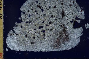
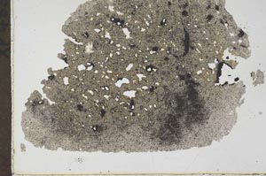
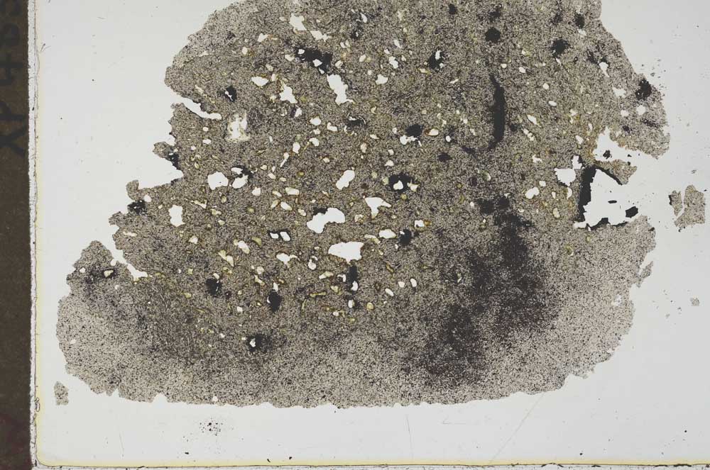
BGS mineralogy and petrology collection record
| Sample number | S44983; COLLNOXP483; |
|---|---|
| Sample Donor | Read,W.A. |
| Rock name | Not entered |
| Stratigraphy | Not entered |
| Comments | Flow 'G' of Murrayshall series |
| Locality details | Base of crag, S side of fault feature, 1290 ft S 10 deg W from ruins, Castlehill |
| 50k map sheet | Stirling (39) |
| Map reference | NS 7597 9084 |
| Year collected | Not entered |
| Bore name | Not applicable |
| Confidentiality | No restrictions |
Petrological thin sections
Links to high resolution images
Transition from XPL to PPL light
S44983