BGS mineralogy and petrology collection record
| Sample number | S42217; COLLNOXP13; |
|---|---|
| Sample Donor | Read,W.A. |
| Rock name | Not entered |
| Stratigraphy | Not entered |
| Comments | 5 ft NE-SW dyke in ?LORS sandstone |
| Locality details | 2500 ft SW of Craigforth Mill (2300 ft at 85 deg from West Haugh) |
| 50k map sheet | Stirling (39) |
| Map reference | NS 7786 9568 |
| Year collected | Not entered |
| Bore name | Not applicable |
| Confidentiality | No restrictions |
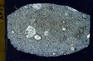
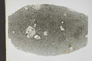
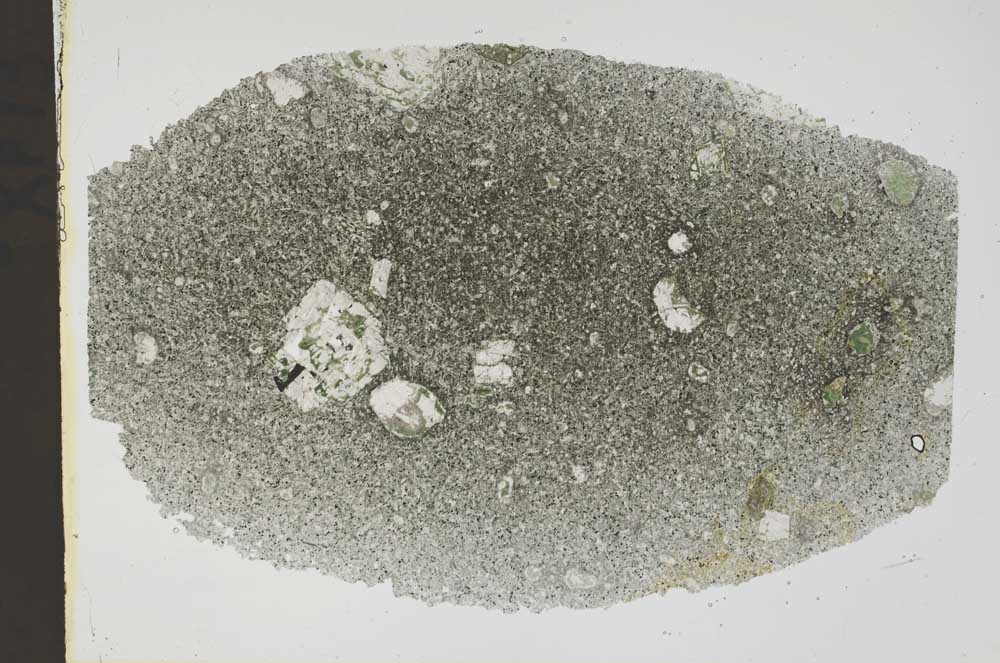
Petrological thin sections
Links to high resolution images
Transition from XPL to PPL light
S42217