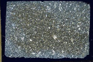
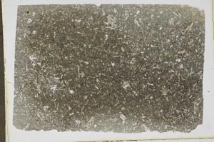
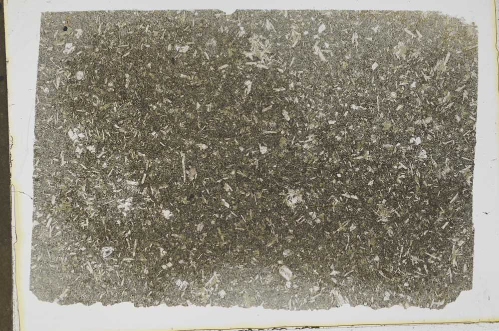
BGS mineralogy and petrology collection record
| Sample number | S42048; COLLNOYH80; |
|---|---|
| Sample Donor | Francis,E.H. |
| Rock name | Not entered |
| Stratigraphy | Not entered |
| Comments | Dyke |
| Locality details | Disused quarry, 650 yds NW of Kinbuck Station |
| 50k map sheet | Stirling (39) |
| Map reference | NN 7890 0528 |
| Year collected | Not entered |
| Bore name | Not applicable |
| Confidentiality | No restrictions |
Petrological thin sections
Links to high resolution images
Transition from XPL to PPL light
S42048