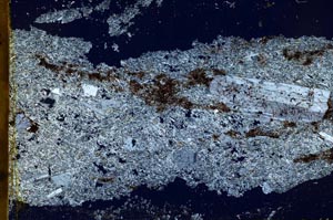
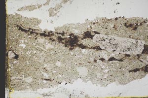
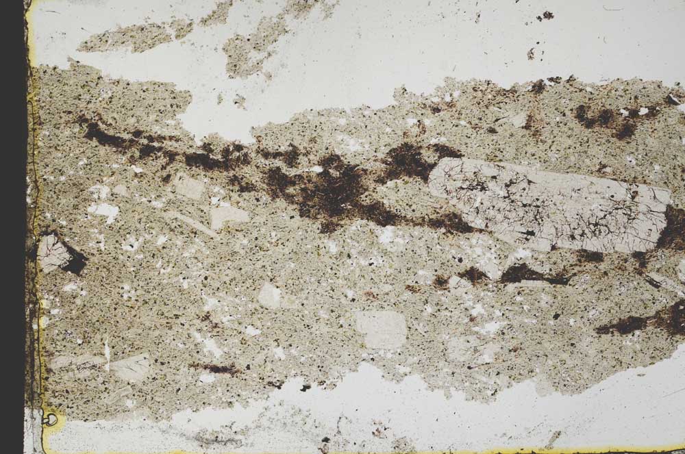
BGS mineralogy and petrology collection record
| Sample number | S40419; COLLNOXP61; |
|---|---|
| Sample Donor | Read,W.A. |
| Rock name | Not entered |
| Stratigraphy | Not entered |
| Comments | Lava flow |
| Locality details | 240 ft SE of where embankment of Bucklieburn Road crosses stream, 4700 ft E 11 deg N of Muirpark |
| 50k map sheet | Stirling (39) |
| Map reference | NS 7697 8736 |
| Year collected | Not entered |
| Bore name | Not applicable |
| Confidentiality | No restrictions |
Petrological thin sections
Links to high resolution images
Transition from XPL to PPL light
S40419