BGS mineralogy and petrology collection record
| Sample number | S46987; COLLNOXP345; |
|---|---|
| Sample Donor | Read,W.A. |
| Rock name | Not entered |
| Stratigraphy | Not entered |
| Comments | Within top 10 ft of Downie's loup Sill |
| Locality details | Dinning Quarry, 25 ft up from bottom of W end of face, c. 4100 ft at 173 deg from Gargunnock Church |
| 50k map sheet | Stirling (39) |
| Map reference | NS 7086 9308 |
| Year collected | Not entered |
| Bore name | Not applicable |
| Confidentiality | No restrictions |
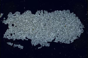
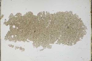
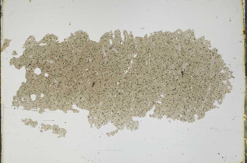
Petrological thin sections
Links to high resolution images
Transition from XPL to PPL light
S46987