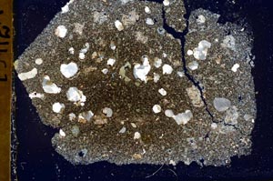
BGS mineralogy and petrology collection record
| Sample number | S39025 |
|---|---|
| Sample Donor | Lumsden,G.I. |
| Rock name | Not entered |
| Stratigraphy | Not entered |
| Comments | Dyke 10 feet thick, trending WNW, cutting sediments of c3 to d |
| Locality details | Shore S of Gourock, 470 yards N 12 deg W of Trumpethill |
| 50k map sheet | Rothesay (29) |
| Map reference | NS 2220 7690 |
| Year collected | Not entered |
| Bore name | Not applicable |
| Confidentiality | No restrictions |
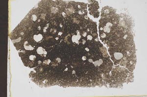
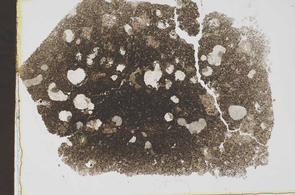
Petrological thin sections
Links to high resolution images
Transition from XPL to PPL light
S39025